.webp.70c18861c39c8ef8c4811e598978da45.webp)

CurlyHeadBarrett
-
Posts
827 -
Joined
-
Last visited
Content Type
Profiles
Blogs
Forums
American Weather
Media Demo
Store
Gallery
Everything posted by CurlyHeadBarrett
-
 I'm a millennial (28 pushing 29)
 -
Thanks!
-
BTW I changed my username to CurlyHeadBarrett if you don't mind? Thanks in advance @roger smith
-
all thanks to global warming. Seasons like 2014/2013/2006 will be a thing of the past
-
it's so jova for gomcels if this verifies also not a single molecule:
-
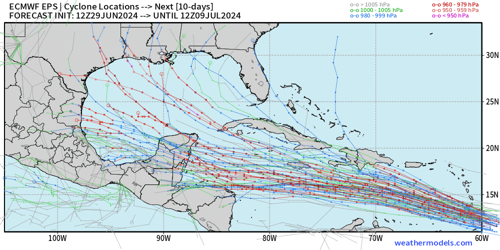
2024 Atlantic Hurricane Season
CurlyHeadBarrett replied to Stormchaserchuck1's topic in Tropical Headquarters
You never know 94L might be Chris and future 96L might be Debby -
2024 Atlantic Hurricane Season
CurlyHeadBarrett replied to Stormchaserchuck1's topic in Tropical Headquarters
Which storm names do you think we're gonna see? -
2024 Atlantic Hurricane Season
CurlyHeadBarrett replied to Stormchaserchuck1's topic in Tropical Headquarters
Do you think this or 94L would snag Chris? -
have you tried other LLMs? I heard claude mogs
-
934mb/140 kt Cat 5 south of Haiti on the 12z HWRF jfl if this verifies I will turn into Hexum
-
Not at all Beryl is on the hurricane version of dbol and hgh
-
Let's find a hurricane you're interested in. Why does this phrase make me cage so hard IRL?
-
Beryl is now a hurricane according to the NHC Who put dianabol and HGH in the Atlantic Ocean?
-
JFL BERYL IS A HURRICANE NOW IT'S JOVA FOR CARIBBEANCELS Hurricane Beryl Satellite | Buoys | Grids | Storm Archive ...BERYL IS NOW A HURRICANE AND FORECAST TO INTENSIFY QUICKLY... ...EXPECTED TO BRING LIFE-THREATENING WINDS AND STORM SURGE TO THE WINDWARD ISLANDS AS A MAJOR HURRICANE...
-
You positive?
-
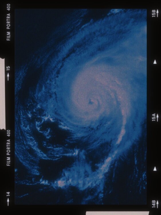
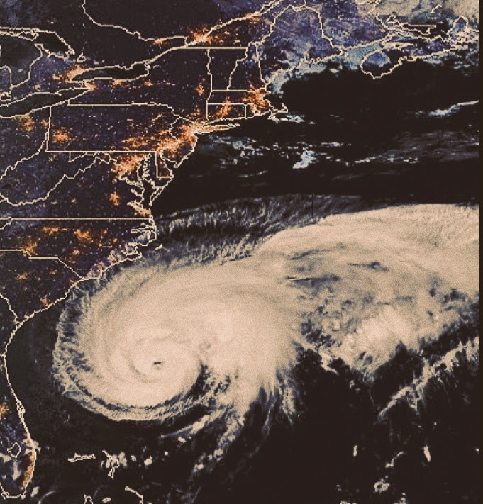
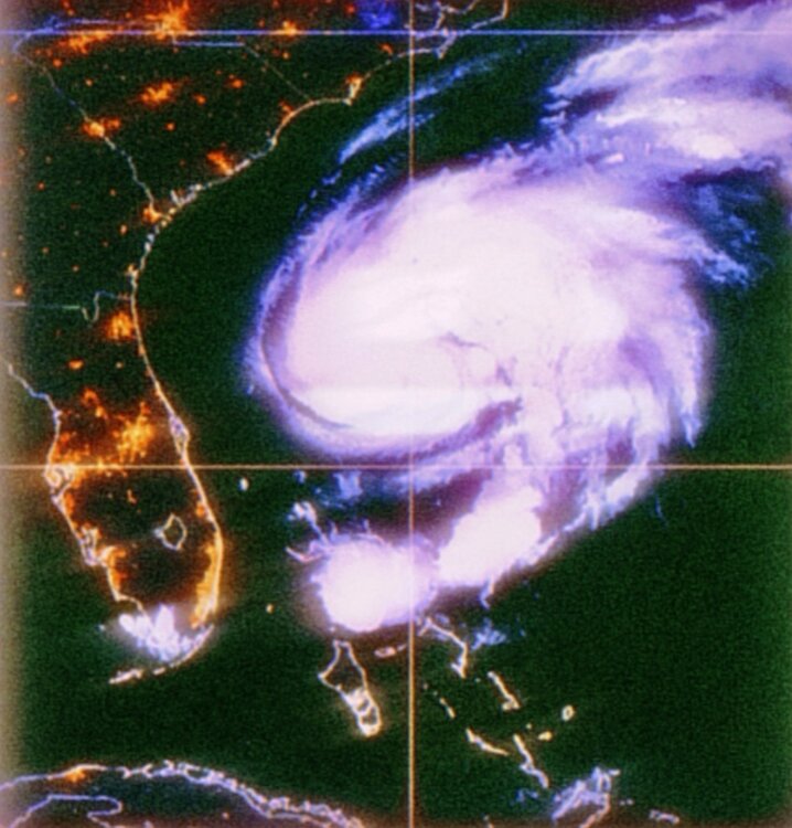
When was this hurricane photo taken?
CurlyHeadBarrett replied to CurlyHeadBarrett's topic in Outdoor and Weather Photography
All of these are the same system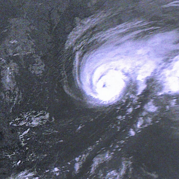
-
It’s over for Caribbeancels, TUTTcels and SALcels, getting mogged by storms in June Basin is set to produce prime moggers ngl.
-
Basin thinks it’s August 29
-
2024 Atlantic Hurricane Season
CurlyHeadBarrett replied to Stormchaserchuck1's topic in Tropical Headquarters
Wow. This is mad ngl -
2024 Atlantic Hurricane Season
CurlyHeadBarrett replied to Stormchaserchuck1's topic in Tropical Headquarters
So debby and Chris might come? -
Jfl at the major peak. It’s over
-
Jfl beryl is at a conservative (NHC own words) 60mph rn
-
Based on the various subjective and objective satellite intensity estimates, the initial intensity is increased to a possibly conservative 45 kt. Atmospheric and oceanic conditions over the western tropical Atlantic and the eastern Caribbean Sea are abnormally favorable for strengthening, and the rapid intensification indices in the SHIPS model are showing a significant chance of rapid intensification. The new intensity forecast continues to call for bERyl to become a hurricane before reaching the Windward Islands, and it now calls for a peak intensity of 95 kt in 60-72 h. This peak could be conservative, as several of the intensity guidance models forecast Beryl to become a major hurricane.


