SomeguyfromTakomaPark
-
Posts
6,172 -
Joined
-
Last visited
Content Type
Profiles
Blogs
Forums
American Weather
Media Demo
Store
Gallery
Everything posted by SomeguyfromTakomaPark
-
January 12-13th Cold Smoke Obs and Nowcast
SomeguyfromTakomaPark replied to Bob Chill's topic in Mid Atlantic
Hard to tell on meteocenter maps on mobile but I think UK improved a little with the Sunday night action. -
January 12-13th Cold Smoke Obs and Nowcast
SomeguyfromTakomaPark replied to Bob Chill's topic in Mid Atlantic
Main takeaway for me is it agrees with the placement of the CCB band Sunday afternoon/night with the NAM/ICON, just not as wet as the others. IMO a very good run. -
January 12-13th Cold Smoke Obs and Nowcast
SomeguyfromTakomaPark replied to Bob Chill's topic in Mid Atlantic
Looks like a little more action overnight Sunday which is an improvement too, not a blockbuster but another positive run. -
January 12-13th Cold Smoke Obs and Nowcast
SomeguyfromTakomaPark replied to Bob Chill's topic in Mid Atlantic
Not seeing the coastal kick in like the ICON or NAM, but still another good run. -
January 12-13th Cold Smoke Obs and Nowcast
SomeguyfromTakomaPark replied to Bob Chill's topic in Mid Atlantic
GFS wetter with the overrunning through 18 hours... -
January 12-13th Cold Smoke Obs and Nowcast
SomeguyfromTakomaPark replied to Bob Chill's topic in Mid Atlantic
It bumped the blues further north, better for most folks but not up towards Baltimore. -
January 12-13th Cold Smoke Obs and Nowcast
SomeguyfromTakomaPark replied to Bob Chill's topic in Mid Atlantic
ICON is 0.75+ for DC with an inch around Annapolis. -
January 12-13th Cold Smoke Obs and Nowcast
SomeguyfromTakomaPark replied to Bob Chill's topic in Mid Atlantic
With the way the banding looks I’d expect more around DC.... -
January 12-13th Cold Smoke Obs and Nowcast
SomeguyfromTakomaPark replied to Bob Chill's topic in Mid Atlantic
RGEM also with the coastal further north and better snow into Sunday night, should be improved as @Beachin noted. -
January 12-13th Cold Smoke Obs and Nowcast
SomeguyfromTakomaPark replied to Bob Chill's topic in Mid Atlantic
ICON has banding around DC 03z Monday, should be a big hit. -
January 12-13th Cold Smoke Obs and Nowcast
SomeguyfromTakomaPark replied to Bob Chill's topic in Mid Atlantic
ICON looking better as well.... -
January 12-13th Cold Smoke Obs and Nowcast
SomeguyfromTakomaPark replied to Bob Chill's topic in Mid Atlantic
The extra snow with the Vort pass shown on the NAMs would be superb. Really hope that happens, love me some ULL snow. -
January 12-13th Cold Smoke Obs and Nowcast
SomeguyfromTakomaPark replied to Bob Chill's topic in Mid Atlantic
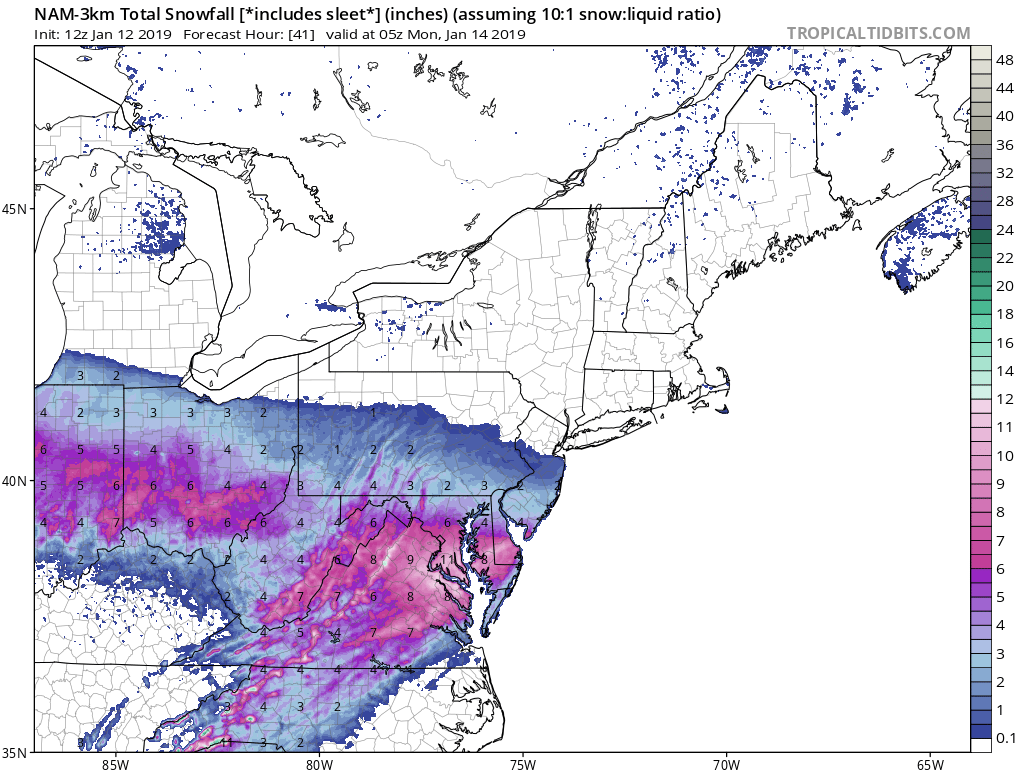
3K matches pretty well with the euro. Argues for upping DC to 6-8.
-
January 12-13th Cold Smoke Obs and Nowcast
SomeguyfromTakomaPark replied to Bob Chill's topic in Mid Atlantic
HECS on the nam -
January 12-13th Cold Smoke Obs and Nowcast
SomeguyfromTakomaPark replied to Bob Chill's topic in Mid Atlantic
LOL 12-16 inches down in DC and still dumping at 00z Sunday -
January 12-13th Cold Smoke Obs and Nowcast
SomeguyfromTakomaPark replied to Bob Chill's topic in Mid Atlantic
Bigtime weeinie run, probably gonna be 10-12 for DC based on the way the radar looks. -
January 12-13th Cold Smoke Obs and Nowcast
SomeguyfromTakomaPark replied to Bob Chill's topic in Mid Atlantic
Wow! 6-8 for immediate DC metro! Maybe even better if we can get ratios to work out. -
January 12-13th Cold Smoke Obs and Nowcast
SomeguyfromTakomaPark replied to Bob Chill's topic in Mid Atlantic
As for headlines, did upgrade the advisory to a warning for the northern Shenandoah Valley and the Washington Metropolitan area. Am concerned that east-west oriented banding may cause locally higher amounts across these areas. Frontogenetical forcing increases as the low passes by to the south late tonight into Sunday morning, and looking at the 00z nam bufkit, did notice the Eqivalent Potential Temperatures nearly neutral with height for a period between 06 and 12z along with slightly negative EPV and Frontogenetical forcing that lines up, suggesting that CSI banding is possible. Elsewhere, left the headlines from the previous forecast. Still looking at a most likely of 2-5 inches across northern Maryland, the eastern Panhandle of West Virginia and the Baltimore Metropolitan areas, with 4-7 inches elsewhere. Do want to point out that there is still uncertainty regarding the placement and location of any banding precipitation and also with the track of the low. Any slight change in either direction will have an impact on snowfall totals. Having that been said, there will be impact from snow across the entire CWA tonight into Sunday. -
Today brought us all one step closer...cmon! Missing a foot of snow in early December 75 miles to our south...wow.
-
And it’s still ripping
-
Looks like another push north starting, maybe DC can grab a quick coating.
-
That death band south of DC looks nice....so cruel.
-
I hope you’re right but it looks like it’s dead stopped on the last few frames of radarscope.
-
Northward progress is about done, enjoy it southern folks.
-
Not kidding but last frame of the radar looks like northern progress stopped. DC snow shield.