

griteater
-
Posts
9,634 -
Joined
Content Type
Profiles
Blogs
Forums
American Weather
Media Demo
Store
Gallery
Everything posted by griteater
-
The EPS looks straight wretched in the mid & extended range with the Alaska/Gulf of Alaska/West Coast trough trifecta. That's about as bad as it gets out west. In contrast, the GEFS develops a nice pattern in its extended range. The GEPS is somewhere in between the 2, but closer to the GEFS The MJO on the RMM plots has made steady progress the last 2 days and has finally reached the beginning of phase 6. The dynamical model RMM plots bring the MJO into phase 7 in the next 5 days, then have varying long term MJO solutions. Given the current MJO amplitude, we should expect the MJO to continue on thru phases 6-7-8-1 over time, with the specifics around the timing to be determined. The filtered VP portion of the MJO shows that the enhanced convection associated with the MJO has moved from the Maritime Continent out into the western Pacific over the past week (blues and purple). Loop of those images shown here: http://www.atmos.albany.edu/student/ventrice/real_time/maps/mjo/global_analyses.html The week 2 GFS forecast of MJO filtered VP shows the suppressed convection moving east and centered over the Maritime Continent, with the enhanced convection extending from the central & eastern Pacific to Africa. That's where we want to be from a tropical forcing standpoint to begin to see improving western ridging / eastern troughing solutions in the models. The official SSWarming wind reversal is occurring today. The extent to which it propagates down into the troposphere to affect our weather remains to be seen. It this one does propagate downward, it looks like it's going to take some time - at least a few weeks. I think there is good reason to remain optimistic about wintry weather returning in the 2nd half of Jan into Feb, but until we see good ensemble runs showing consistently, it's all speculation. I did find it kind of funny that the very last image of yesterday's Euro Weeklies for Feb 9-14 was the best image of the run, as if the model is just wanting to tease us
-
Well the ensembles look kind of 'meh' right now. Nothing terrible, but nothing spectacular either
-
Here's the GEFS for days 10-15. It's out there in range, but it looks really good out west at the end with the strongest anomalies over the Northern Hemisphere contained in the Aleutian Low / W Canada & Alaska ridge couplet. The Aleutian Low anomaly is displaced to the south and would seed storm waves at a lower latitude (into California/Baja), and the W Canada / AK ridge would deliver January-level cold east of the Rockies.
-
Starting to see some improving looks on the extended range ensembles. On the VP MJO phase chart, the MJO is currently in phase 5 and will move into phase 7 by early January. Phases 7-8-1-2 are El Nino-like and favor western ridging (+PNA/-EPO) so the ensemble improvements make sense. The last 5 12z runs of the Euro have shown an official SSWarming on Dec 30th, albeit the runs have become a little weaker with it, and it may get delayed or possibly even not make the SSW wind reversal. Regardless, the Strat PV will be severely weakened at a time when it should be at max strength. What effect this has is highly debatable as it's unclear of the effects the weakened SPV will have on the pattern, but a weakened SPV is certainly more preferred for eastern U.S. cold over a super strong one.
-
Here's this aftn's week 3-4 forecast from NOAA (for Jan 5-19). Their forecast discussion is good and touches on many things that have been part of the long range discussion in here over the past few weeks - http://www.cpc.ncep.noaa.gov/products/predictions/WK34/
-
I think we'll see radar break out nicely across E TN / NE GA / NC / northern half of SC overnight into early morning and spreading east thru the day. For you and I, soundings are sketchy for snow, but the timing is good (night and early morning) and it may be just cold enough. I'd keep expectations low on amounts....seeing flakes fly and maybe some light accumulations
-
It's overnight into early morning for Western Carolinas
-
A visual of the upper low dropping down thru Nebraska and Kansas - https://www.tropicaltidbits.com/sat/satlooper.php?region=atlpac-wide&product=wv-mid
-
It’s a closed contour upper low that’s dropping down into the trough behind our departing storm. It’s currently located over S Dakota/Nebraska and will drop into E Oklahoma, then swing thru the SE states. Euro has precip breaking out with it in E TN / N GA a little before midnight then swinging east thru the Carolinas overnight and into the morning. Shouldn’t be anything major, but could be some nice embedded snow showers in there
-
Some of us have started adding some model performance thoughts on the storm here, FYI: https://www.americanwx.com/bb/topic/49398-southeast-winter-storm-threats-model-performance/?do=findComment&comment=5065039
-
The NAM is the new Dr No
-
Yeah Euro bumped north with precip and temps
-
Upper level divergence on the GFS....this is what the big ones look like
-
RAP and HRRR are usually boiling with heat...so, it's good to see though the NAM has a great track record with these winter storms over recent years....I think we all just need to move to the high country and be done with it
-
University of Wyoming has a good site for the actual balloon launch soundings (launched twice a day at 12z and 00z) - http://weather.uwyo.edu/upperair/sounding.html
-
On the topic of the upper waves. The core of our storm is the upper wave currently over W Texas. The trailing upper wave that drops down is currently over N Montana / Saskatchewan - it will drop SE into Arkansas and down thru the SE. Some earlier model runs were more impressive with it, but not as much now. Still, the 06z Euro says there could be some light snow showers with it Sunday overnight into Monday morning in E TN / N GA / W NCSC
-
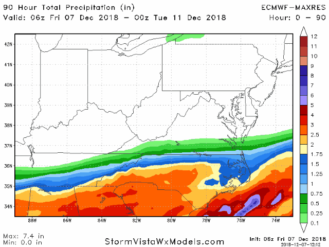
Euro Total Precip trend
-
For some reason, I don't see the 06z and 18z runs on weathermodels now...not sure what's going on there. Here's the 06z Euro run on Vista with the 850 low, then the second map is the sfc temps. It's north of an ideal track for northern upstate into CLT but it tries to bring wet snow/sleet in that area with heavy dynamics as it rolls thru.
-
I would just say that it's always a plus to see it on the cold side because if any model is going to be warm in the mid levels it's the HRRR and NAM
-
Well it's kind of impressive to see the HRRR be this cold to the south
-
Sure seems like it’s NAM and the Canadian models against UKMet / GFS / Euro regarding the southern fringe temps and the northern extent of the precip shield - 2 disparate camps
-
You sure are needy For you it jerked the 850 0 deg below you for a 6 hr period during peak storm. For CLT, it was south of us a good bit of the storm. I’m away at the moment Yes on Vista. Weathermodels has it too
-
Looks more like a cold nose than a warm one
-
Well the 18z Euro was the best run I’ve seen of it yet as well on the southern transition zone (colder)
-
Yep, impressive looking for sure. Loop - https://www.tropicaltidbits.com/sat/satlooper.php?region=atlpac-wide&product=wv-mid


