

Violentweatherfan
-
Posts
3,461 -
Joined
-
Last visited
Content Type
Profiles
Blogs
Forums
American Weather
Media Demo
Store
Gallery
Everything posted by Violentweatherfan
-

January 28th/29th Event Obs - From KU to FU?
Violentweatherfan replied to JTA66's topic in Philadelphia Region
Under a nice band now in Langhorne -
January 28th/29th Event Obs - From KU to FU?
Violentweatherfan replied to JTA66's topic in Philadelphia Region
Painful to see, so close but yet so far.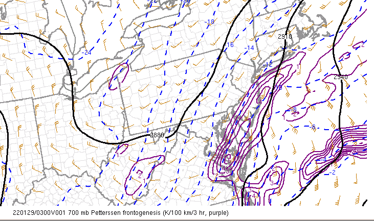
-
January 28th/29th Event Obs - From KU to FU?
Violentweatherfan replied to JTA66's topic in Philadelphia Region
L-town FTW! -
January 28th/29th Event Obs - From KU to FU?
Violentweatherfan replied to JTA66's topic in Philadelphia Region
Man, look at Manhattan/Long Island it's about to get pasted. -
January 28th/29th Event Obs - From KU to FU?
Violentweatherfan replied to JTA66's topic in Philadelphia Region
-
January 28th/29th Event Obs - From KU to FU?
Violentweatherfan replied to JTA66's topic in Philadelphia Region
Have I had too many Margaritas or does that look positively tilted -
January 28th/29th Event Obs - From KU to FU?
Violentweatherfan replied to JTA66's topic in Philadelphia Region
I know it's two hours old -
January 28th/29th Event Obs - From KU to FU?
Violentweatherfan replied to JTA66's topic in Philadelphia Region
Dude, 5/8 of an inch? -
January 28th/29th Event Obs - From KU to FU?
Violentweatherfan replied to JTA66's topic in Philadelphia Region
Were gonna need confirmation on that measurement. -
January 28th/29th Event Obs - From KU to FU?
Violentweatherfan replied to JTA66's topic in Philadelphia Region
Has anyone have an idea when this storm will exit out and finish? Last I heard was around 3pm. -
January 28th/29th Event Obs - From KU to FU?
Violentweatherfan replied to JTA66's topic in Philadelphia Region
Uh oh -
January 28th/29th Event Obs - From KU to FU?
Violentweatherfan replied to JTA66's topic in Philadelphia Region
Solid video here from Steve D, even if you doubt his call the info contained in the video is exceptional. -
January 28th/29th Event Obs - From KU to FU?
Violentweatherfan replied to JTA66's topic in Philadelphia Region
I thought I read in the MA forum that when a double low apears on the GFS the west low takes over. -
January 28th/29th Event Obs - From KU to FU?
Violentweatherfan replied to JTA66's topic in Philadelphia Region
Finally seeing some flakes, @Blue Dream you are next. -
January 28th/29th Event Obs - From KU to FU?
Violentweatherfan replied to JTA66's topic in Philadelphia Region
Damn, I hope that appetizer snow fills in some more. I just wants to ride northeast and not come down past Doylestown -
January 28th/29th Event Obs - From KU to FU?
Violentweatherfan replied to JTA66's topic in Philadelphia Region
That edge of snow just doesn't want to move east -
January 28th/29th Event Obs - From KU to FU?
Violentweatherfan replied to JTA66's topic in Philadelphia Region
I wouldn't put too much concern into it. The wind will bust up the flakes to the point of affecting ratios, but it will damn sure look awesome. -
January 28th/29th Event Obs - From KU to FU?
Violentweatherfan replied to JTA66's topic in Philadelphia Region
This is too funny not to share -
January 28th/29th Event Obs - From KU to FU?
Violentweatherfan replied to JTA66's topic in Philadelphia Region
Oh man, the meltdown in the NE forum will be almost to the point of not being able to recover from. You all know those totals aren't going to verify right? -
January 28th/29th Event Obs - From KU to FU?
Violentweatherfan replied to JTA66's topic in Philadelphia Region
The wind ralph, the wind. -
January 28th/29th Event Obs - From KU to FU?
Violentweatherfan replied to JTA66's topic in Philadelphia Region
Kuchera and weatherbell maps are a recipe for failed expectations. -
January 28th/29th Event Obs - From KU to FU?
Violentweatherfan replied to JTA66's topic in Philadelphia Region
The wind will limit ratio's, breaking down the dendrites. -
January 28th/29th Event Obs - From KU to FU?
Violentweatherfan replied to JTA66's topic in Philadelphia Region
I rarely make forecast calls, but here goes. I will go with 5" along the I95 corridor, and about 4" near "Newmanville" and I think Jerseysnowrob will be the jackpot zone, topping out at 8". What will keep accumulations down is the timing. These storms always exit faster than forecasted, especially when referring to panels in models. -
January 28th/29th Event Obs - From KU to FU?
Violentweatherfan replied to JTA66's topic in Philadelphia Region
Like the title, it's perfect. -
E PA/NJ/ DE Winter 2021-22 OBS Thread
Violentweatherfan replied to JTA66's topic in Philadelphia Region
Yeah I know the back story but to ease the pain some here is possibly why.


