AstronomyEnjoyer
-
Posts
1,081 -
Joined
-
Last visited
Content Type
Profiles
Blogs
Forums
American Weather
Media Demo
Store
Gallery
Everything posted by AstronomyEnjoyer
-
 Reggie making me wish I was still living in Pepperell.
 -
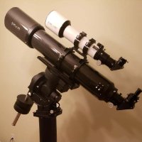
I was attempting a more elaborate setup involving multiple bubble levels earlier today, but I need to figure out a better way to get them attached to the yard stick.
-
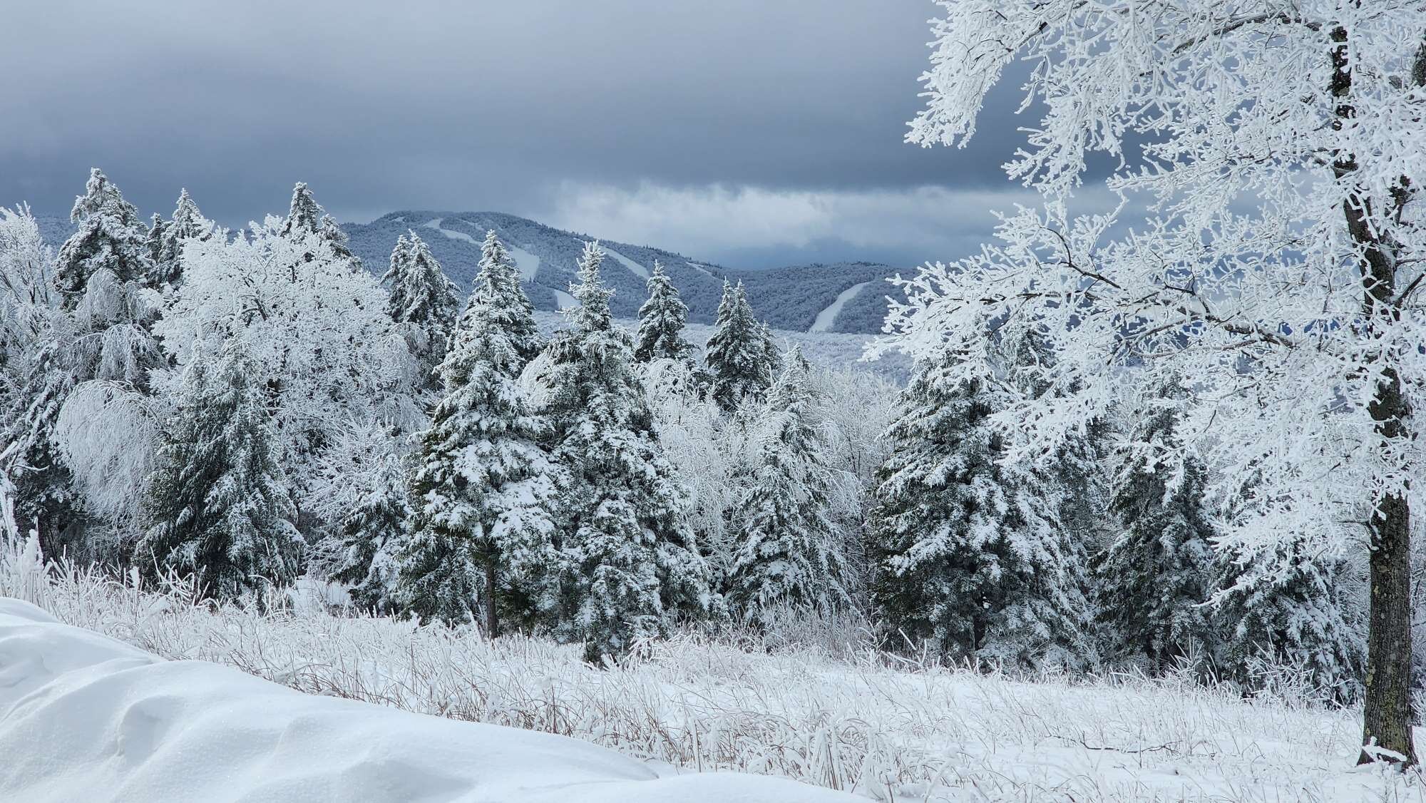
Garbage rainy day, but could have been worse. Ended up with 0.5" of mostly sleet. Average snowpack depth is now 11.4" at my house.
-
To those that were waiting with bated breath, the 18z ICON tracks much the same as the 12z ICON, but with the more splotchy QPF thing going on.
-
Here's the real one guys, had a little accident.
-
Actually does get a bit better in the next few frames too.
-
Think Reggie should look a little better.
-
Actually looked like the 3km might have had more to give there at the end. Anyway, tis a silly model to use at any hour let alone 60.
-
We could all rent a boat and head out into the Gulf of Maine.
-
If you're talking in general, fairly ass.
-
It looks like someone dripped paint up and down the eastern seaboard.
-
Gonna risk my neck here a bit and go for 2-12" in MBY.
-
We both get destroyed in the current runs of both the ICON and the UKMET, if that gives you any confidence, lol.
-
Definitely agree there.
-
Does do a better job bringing the goods up to my neighborhood though.
-
It sucks that the clowns perform poorly in marginal situations. But a ton of posters are not in a marginal situation. Now, they might run into QPF problems, but for a lot of them, they can just take the 10:1 ratio and say close enough.
-
It would be awesome if the model outputs alone were enough for people to figure how much snow they're getting, but as we all know, the model outputs are far from perfect. The problem is that these models run so frequently (and there are so many) that it would be impossible for Pivotal or Tropical Tidbits or whoever have an analyst run through and make corrections for every run, every hour, every day. And so sometimes, often times, you get funky numbers generated that just make no sense and should have no business appearing proudly on their generated product. But they do. I like the clown maps not necessarily because I think they are going to give me an accurate snowfall total, but they do offer a tangible, visual aid that allows me to deduce trends from run to run. Better so than someone just stating that it came north or the low was deeper, or oh, looks great for so-and-so's house, etc. And I mean, I could probably just use QPF maps to do that, but those just aren't as fun, and this is a hobby to me. Just my two cents.
-
While I understand your point about the ultimate product being proprietary to a specific vendor, I think you're being too pedantic about the definition of data. As an example --- When I was a F-35 flight test engineer, Lockheed Martin would send us 10 Hz data in csv files that we (as government engineers) would run through Matlab (and later Python) to get it in a suitable condition to then run through our own software designed to enable a human analyst to review and score certain aspects of the jet's performance. We'd then package that up into pretty charts and graphs to give back to LM and tell them to fix whatever we found wrong. We called that data. When presenting those charts and graphs to leadership, we referred to it as data. So yeah, I don't want to see raw data that's being pumped off whatever supercomputer is running the weather model - it would look nonsensical. But if a vendor is going to analyze that raw data using its own algorithms in order to package it into a digestible format for human eyes to view and understand, I'm going to call it data.
-
You have to appreciate the stubbornness. It's been nearly identical for like 6 runs in a row.
-
I know I've been joking about it the past couple days, but the ICON has been pretty rock solid and north. If the models end up converging on it we must give the Germans their due plaudits.
-
Reggie clown put some malicious dryslots in there, damn.
-
Here's the 3km for those that asked. Keep in mind that this is only run out to 60 hours and there's more juice to be squeezed.

