AstronomyEnjoyer
-
Posts
975 -
Joined
-
Last visited
About AstronomyEnjoyer

-
Only made it to 41.9° for a high today. What a gross way to close out March, lol.
-
Still 34.2° here in the bowl of cold. Lame.
-
Yeah, 31.3° here and slowly melting off whatever had been accumulating. Hopefully tonight doesn't bring any nonsense - I hate losing power.
-
Ugh, gross. Get that lavender shade off of my head.
-
27.7° SN+ 1.0" new.
-
27.7°, SN+. Had golf ball size aggregates there for a moment.
-
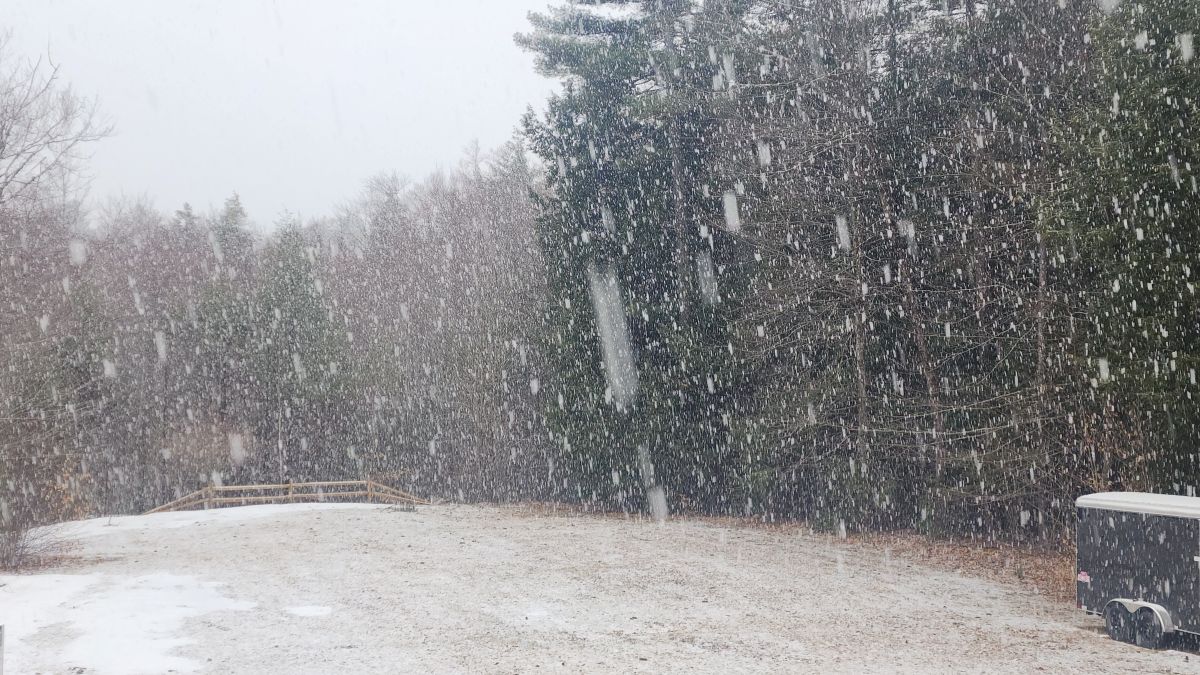
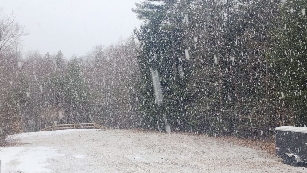
Actually dumping right now. Very good growth.
-
28.6°, SN. Pretty good growth actually. HRRR is still insisting on a good little thump for Mt. Sunapee. We shall see.
-
Lol, this is somehow turning out to be one of the best events of the season.
-
Egg prices drop yet?
-
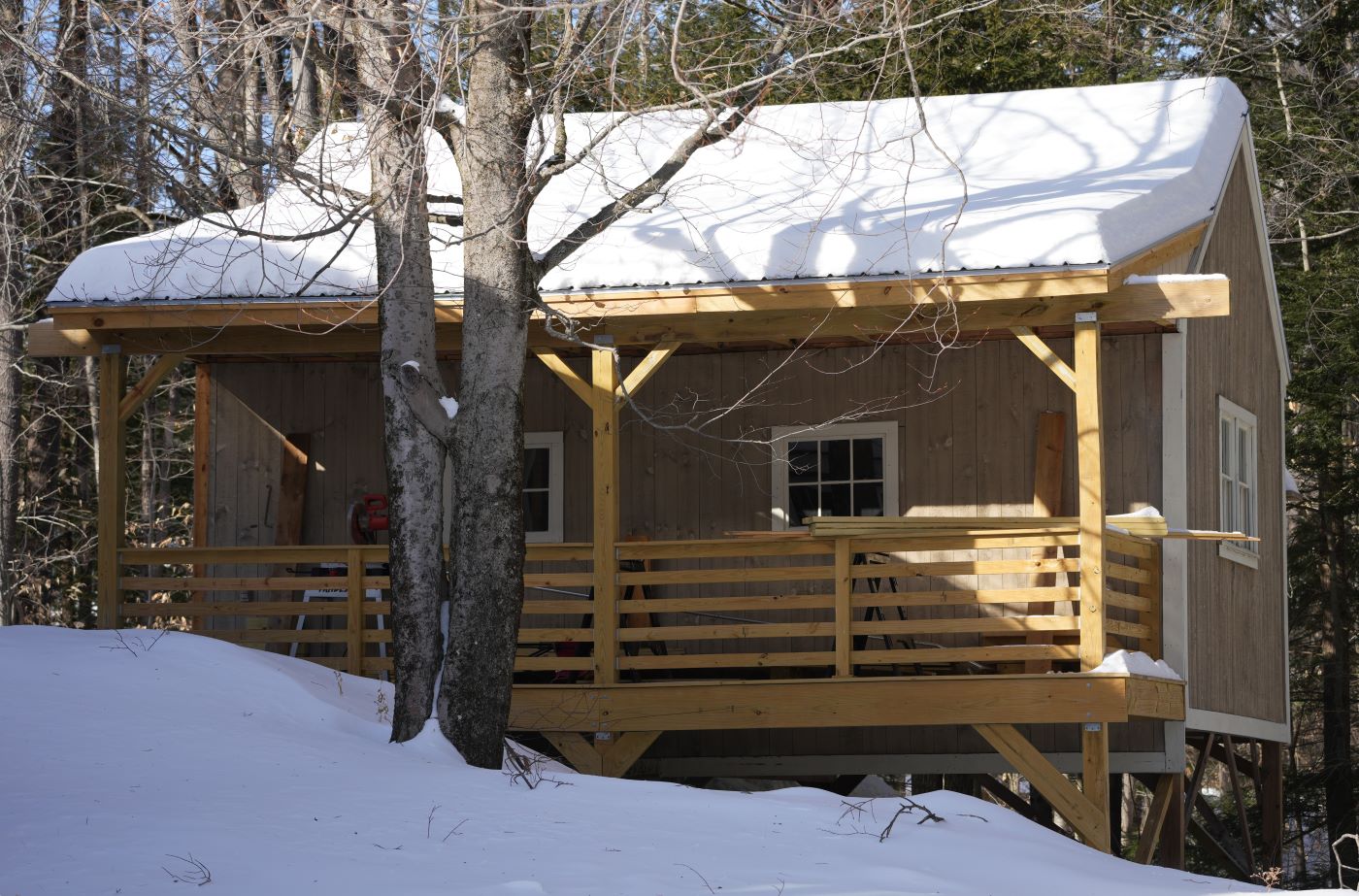
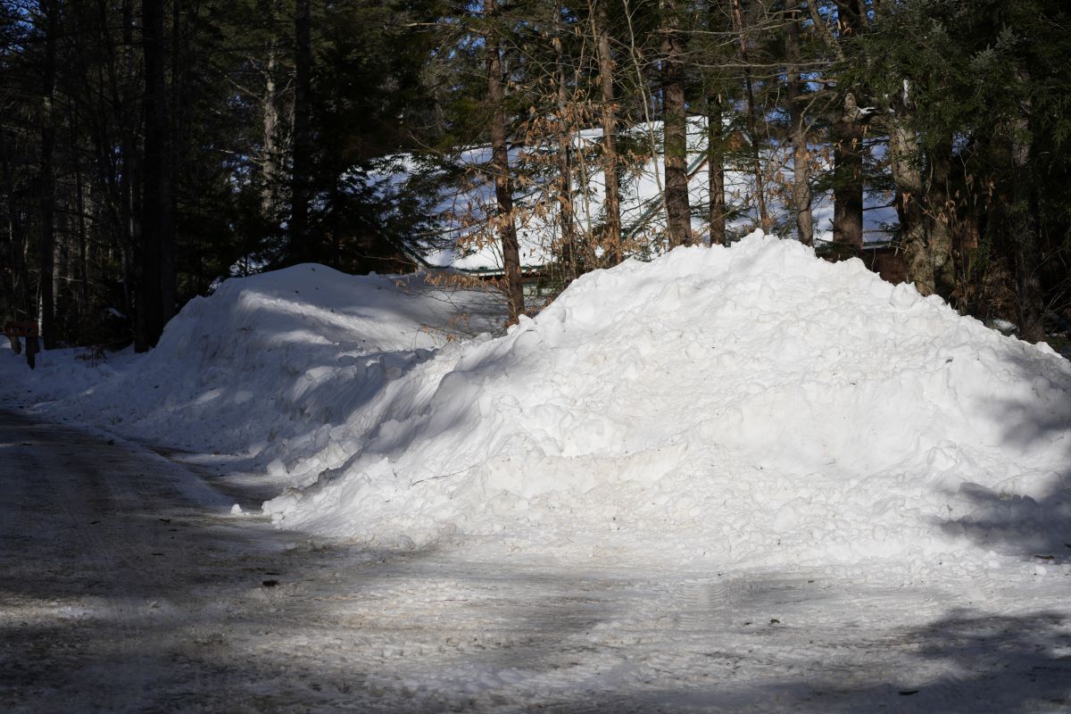
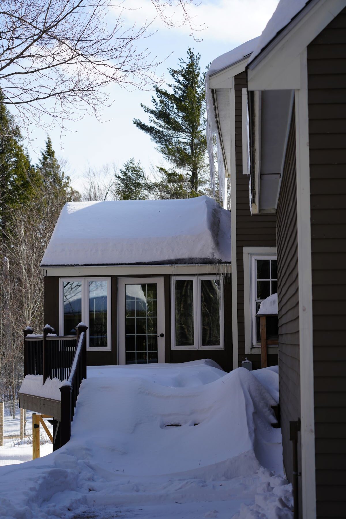
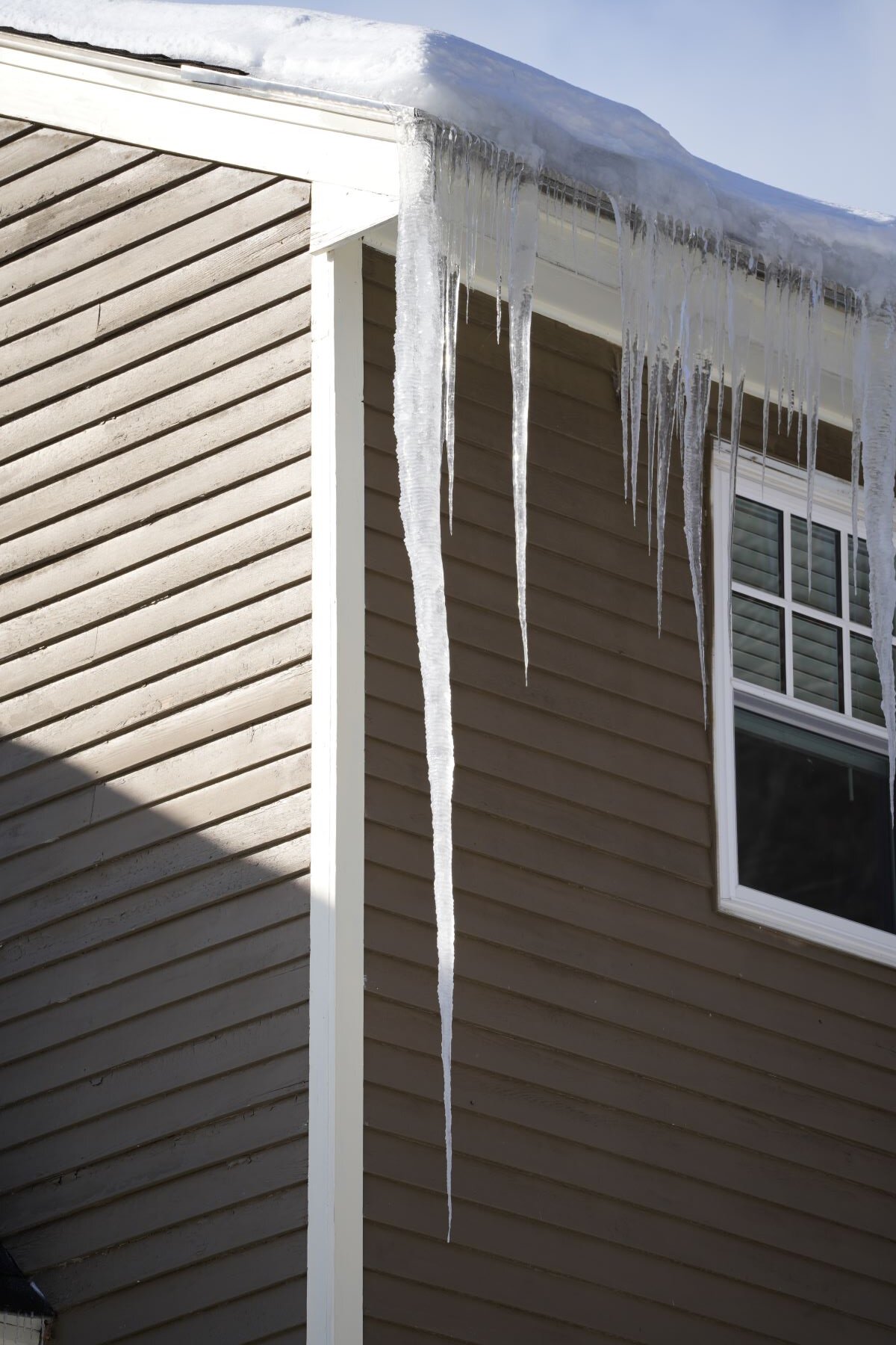
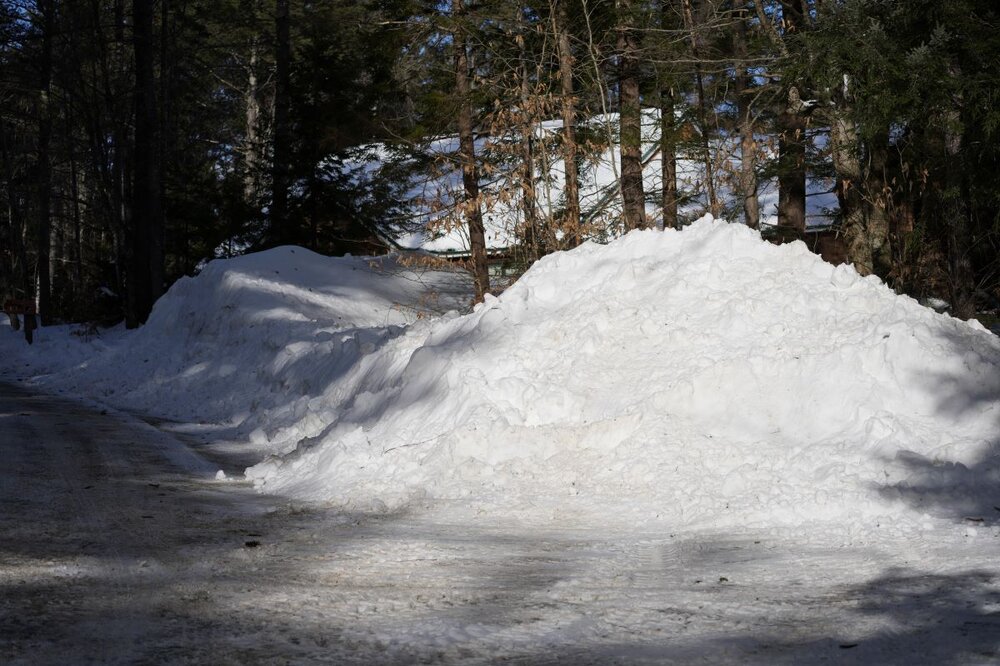
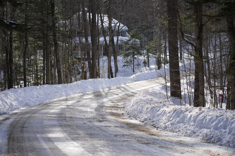
Some pics from this afternoon. Big icicles, and good snow depth. Around 21" in the flat part of the yard.


-
Absolutely puking snow right now.
-
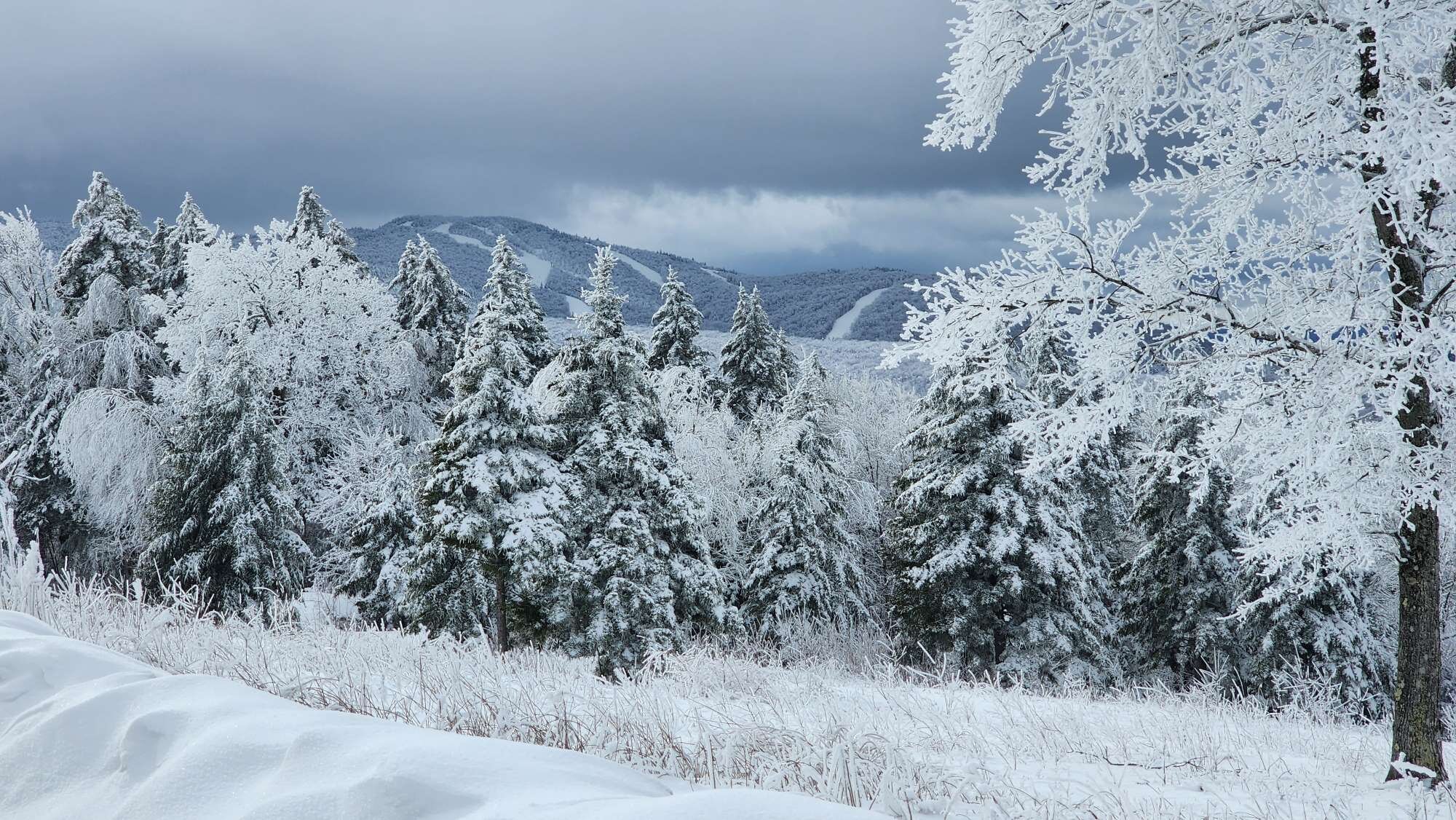
My word, the mythical backend snow is happening... I didn't think it was really possible.
-
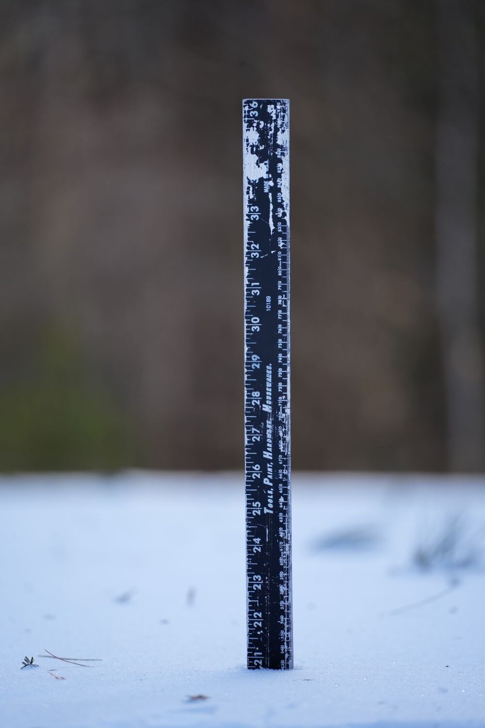
Yup, a little past two feetsies here in Dendriteland.
-
Oh good lawd, sleeting something fierce here right now.