TradeWinds
-
Posts
539 -
Joined
-
Last visited
Content Type
Profiles
Blogs
Forums
American Weather
Media Demo
Store
Gallery
Everything posted by TradeWinds
-
Not sure I understand the rain comment. The winds are onshore from the Atlantic early this week. Local weather says 2-4"
-
It's 2020. Why not a mid-Nov cane moving SW in the Gulf.
-
No kidding. The heat is relentless this year. Next week looks to break the humidity which will be nice for me to go running outside.
-
@Prospero for you to frame.

-
Lol. Yet my home insurance will somehow go up in FL next year. Quite interesting to see a storm projected to move northwest this time of year in the Gulf.
-
Central and Southern Florida new tourism ads should say tired of hurricanes...visit us!
-
I thought I remember lots of fantasy storms early this season. Maybe I'm confusing with last year.
-
It always has a storm > 300 hrs. I had patio work done in Aug and kept a lot of things inside. I'm putting them all back outside this weekend. Door is shut IMHO for CONUS landfall. I believe I read 5 landfalls in Nov since 1850.
-
Been wet recently or for the summer? It's been very dry the last couple weeks in Orlando.
-
ha, it's doing a 06z Para only that one straight to TX. 00z should correct like Para did although I have seen a few more members hint at a turn west. So far out and so many factors.
-
18z GFS has Caribbean storm landfalling at Jupiter, FL moving just inland of Vero, stalling then moving SW into Gulf. Change looks due to 2 things: 1) Atlantic storm weak and east. 2) Trough in the plains is not as sharp so storm coming out of Gulf doesn't get pushed out. Flip Flop continues. Will be curious to see the ensembles. Several were showing west movement at 12z and I believe one EPS...will need to see if this is a trend.
-
I was referring to EPS.
-
The flip flop continues for the potential storm end of Oct. EPS pretty much all out to sea.
-
There will be so many flip flops from Yucatan hits to out to sea to nothing at all, which very well may be the end result. But we watch. The FL peninsula as a whole has been spared. We had an inland tropical storm warning in Orlando with Isais but our highest gust may have been 25 mph.
-
Who cares what people think. I have no respect for anybody seeking attention by having to announce their intention to block somebody. I have seen plenty of ridiculous posts all over this forum, especially when I lived up north and winter season came along. The majority of this site lives of fantasy storms. Back to your post...look at the bright side, you had lots of flood watches this year. lol. I had some patio repair work back in August and had to clear off my lanai. I kept things inside for hurricane season and almost put them back this past weekend. I figured I'd wait another couple weeks just in case. We should know more by early next week.
-
It really has been an odd but solid year for tracking. I hate so many were impacted though. We will see how October materializes and whether the FL peninsula can keep the force field going. It's the only place that hasn't really been impacted. Isaias had warnings but very minimal impact to FL.
-
Western Gulf. Climo typically closes the valve on TX and most of LA as the fall weather pattern sweeps in cold fronts. TX has had 2 post September hurricanes in 120 yrs I believe. Most common threats are New Orleans to Florida.
-
The 850 voricity is strong. I can see an invest but not a storm. It is 2020 though so you never know. We had some good squalls come thru earlier. I have some video but too large to post.
-
Land cane
-
That little yellow X off FL giving us some squalls today. NWS Melbourne has a special statement for coastal areas of Central FL last night. 4-8" of rain and 35-40 mph gusts. Several buoys had confirmed 40. That was a surprise.
-
First call..Louisiana.
-
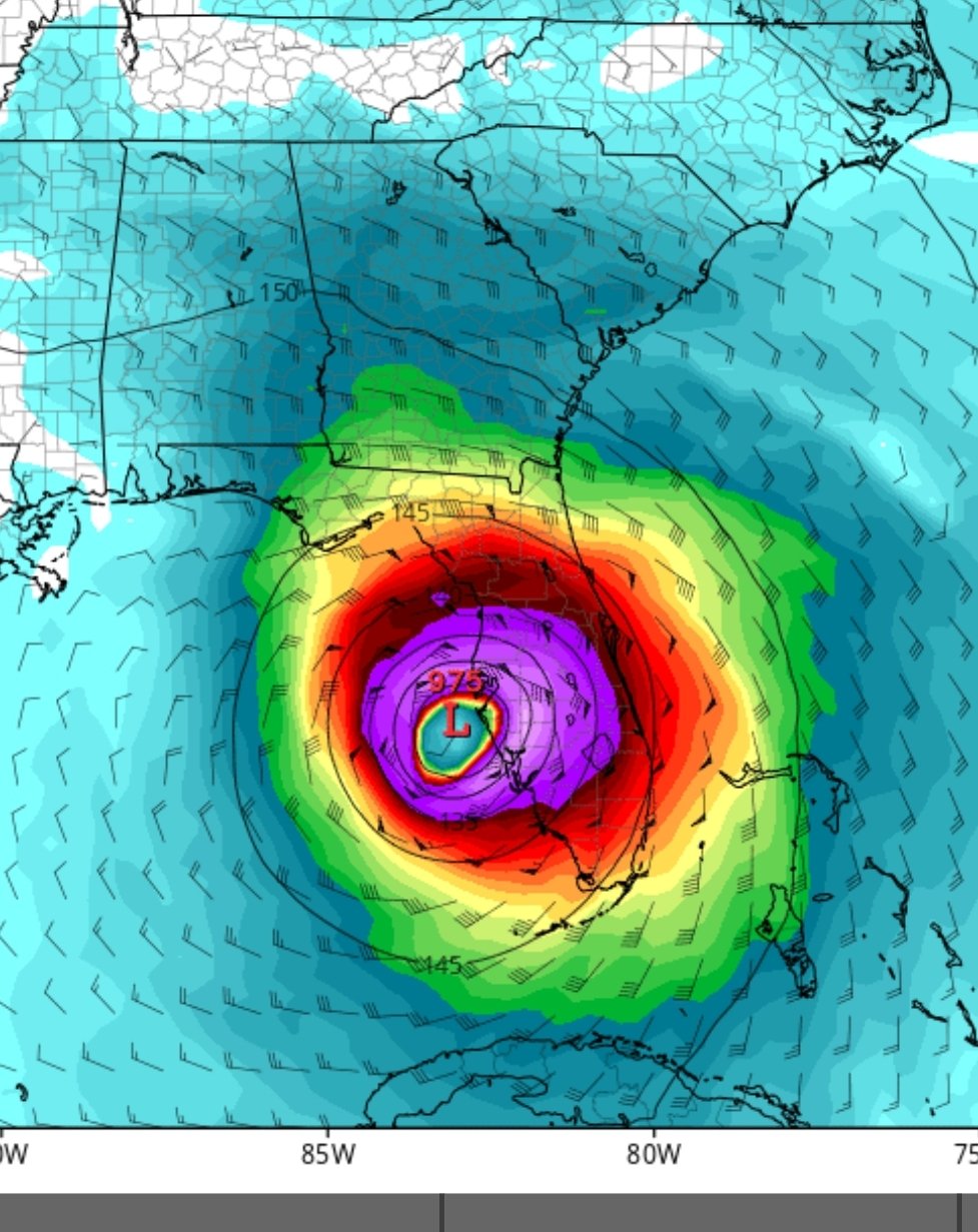
Well 00z fantasy land has the Western Caribbean storm
-
We have the force field going on for most of the peninsula sans Irma I am curious what Oct brings. GFS long range hints at lowering pressures but it's always there on the 384.
-
That must have been it! Thanks for the clarification.