Bob Chill
-
Posts
36,387 -
Joined
Content Type
Profiles
Blogs
Forums
American Weather
Media Demo
Store
Gallery
Everything posted by Bob Chill
-
There wasn't much virga here. First round of fake greens faded then it filled back in an hour later and was snowing. I've seen far worse. Prob because it's a southern stream wave
-
A distant second is a VERY kind gesture in this sport. I'll always root for the hoco-moco deathband... as long as the Roanoke-lynchburg nuke stripe is twice as big
-
Getting good now. Snow growth improved to small dendrites and steady light snow. Viz about a mile still but rates picking up and roads covered. Temp steady at 28
- 957 replies
-
- 13
-

-
Radar accurate down here. Lull then steady light snow. Snow growth not great. Shattered snowflakes but instant stickage. Temp 28
- 957 replies
-
- 10
-
-

-
First flakes let's gooooo
- 957 replies
-
- 34
-
-

-

-
FCX radar looks sweet right now. Yellows incoming. Looks better than anywhere in NC. Possibly good band of lift on the nrn edge.
-
Yea, 4-6" but it seems too bullish. I don't think there will be any 6" reports down here but hope I'm wrong of course. Been thinkin 2-4 the whole way.
-
We're closer to rnk and lynchburg climo. 15" in the recent past but it's been a bad stretch all around down here for too many years lol. My elevation is like 920 and plenty of areas above 1k around. My expectations are low. A good storm now and then keeps the spirit alive haha
-
Done. I'll go with nws 4-6" then. Tuff decision lol I actually have mixed emotions about maximizing. I gotta run to central OH with my truck and trailer early Sunday. Straight thru WV too. Towing on winter roads is mentally tiring...
-
Under green virga now. Waiting game has started. Consensus 5pm start time. Interested to see ratios when it gets going. Im feeling conservative but blacksburg is bullish.
- 957 replies
-
- 10
-
-

January Medium/Long Range: A snowy January ahead?
Bob Chill replied to mappy's topic in Mid Atlantic
Absolutely love the 8:30-2:30 orientation thru the TN valley. Really broadens the strike zone compared to similar but steeper amplification. Also slows down exits. You can get a pretty fat storm without deep slp. I'm very optimistic -
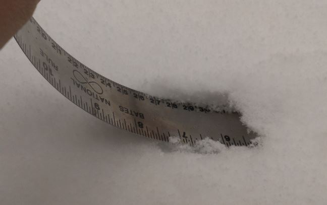
Snow on kinda sorta snow for our land in Sandy Level. Hard pack frozen snow/sleet/zr lol on our driveway. No give underfoot. My tractor has awesome traction but if the treads can't break that crust I may end up involuntarily downhill. Lol. Maybe way down hill hahaha. No seat belts or airbags on 1967 tractors Eta: it's 26 degrees right now. No way we hit 33 forecast. No wasted flakes
- 957 replies
-
- 12
-
-
January Medium/Long Range: A snowy January ahead?
Bob Chill replied to mappy's topic in Mid Atlantic
@psuhoffman remember that straight west track cutter that was all snow? Late Feb 2015 I think? We all got like 4-8" with hp centered between OBX and Bermuda lol. 850s were below freezing 200 miles off the coast. Man that was wild. Surface temps were in low 20s at onset and winds from the surface thru 700mb were out of the south. Truly one of a kind IME. Not thinking thats happening again any time soon but progressive flow keeps spacing tight so I could easily see a west track or 2 working out after the 20th thru end of month. Chances of a legit ice storm will be much higher than normal too. Winter is changing for sure next couple weeks but it's not going anywhere. Good times even if it ends up being messy. I'm thinkin' CAD will be goto acronym here shortly lol -
- 957 replies
-
- 14
-
-

-
What qpf range did the mesos show leading in and does reality coincide or is it juicier? Was the northern extent well modeled or is reality further north?
-
Richmond Metro/Hampton Roads Area Discussion
Bob Chill replied to RIC Airport's topic in Mid Atlantic
It's legit unfortunately. I don't think it's possible to start off with a much drier airmass than this one lol. Especially this far south. That said, it's not a clipper and the front side of the snow is WAA and it's super juicy to the south. It may not take too long to get things saturated. Ratios may start off kinda weak then fluff up as we go into the night. 10:1 seems like a safe bet unless there's an enhanced band of lift with staying power. This is a good example sounding of what I'm thinking. Flakes won't be big and fluffy with those omegas. Last couple hours of snowfall look much better though and time will tell like always. -
Hot springs is about 100 miles to my NW. Different world out there though. Appalachian counties have their own climate. Closer to WV than blue ridge areas.
-
Love me a good edible. Just the taste though. I don't actually eat them. I learned that from Bill Clinton
-
January Medium/Long Range: A snowy January ahead?
Bob Chill replied to mappy's topic in Mid Atlantic
As the LW flow transitions away from Atl blocking to EPO, we're going to lose mid/long range tracking of discrete threats. It's been easy to see windows in the mid/long range last few weeks. Be prepared for that to go poof. Progressive epo patterns can have threats materialize out of thin air inside of d5 and anything showing beyond day 5 can be a total ghost. Run over run changes of storms and their tracks can and will have wild swings and it should be expected and not blamed on "awful models" Models are just tools. We say this all the time. Using any tool requires practice and skill to use it properly. It'd be a good time to practice a little first before blaming models for stealing your snow -
Appreciate it. Been a long wait to see this area with a cold blanket of snow. I'll take 100s of pics heh. I'm not seeing a high chance at 3-5" widespread. That's 10:1 and higher end of qpf forecasts. Airmass is super dry too so virga and stuff. Our penhook place is at 930' so less virga but still..... virga... lol
-
Been surprisingly cold since the snow/ice. Trees are still holding ice in shaded areas today. Smith mtn is frosty up top. This is the east side around noon. Most of my pics lately have been west side. There's a nice sized hawk sitting on a branch enjoying the view looking for lunch. WSW for 3-5" down here. Seems top end even with being closer to the juice but a 5" storm would be pretty damm awesome.
- 957 replies
-
- 30
-
-
January Medium/Long Range: A snowy January ahead?
Bob Chill replied to mappy's topic in Mid Atlantic
Been an interesting year. Feels like a changing of the guard from the persistent hell last 7 years or so. We don't even talk about the pac jet this year heh. Agree on your mjo posts. Imo- When the mjo is persistently bad, it's not the root cause of our woes, it's just another instrument in the symphony working against us. Works both ways too. LR models have busted badly breaking down a favorable mjo too quickly. I see the mjo as a persistence indicator. Like when it's being stubborn in general and it coincides with delayed or busted prog'd pattern flips in the conus. That's a really bad sign but it's certainly not all caused by the mjo. Persistence trumps climo and long range models are very climo based. We see this over and over. Majority of winters have 1-2 dominant features and they don't always line up with enso climo. Figuring those out in advance is hard of course but these features can often dominate a winter no matter what lr models say. Imo- things are lookin pretty good for us down the line -
Yea, for my yard, more than half of the modest qpf is waa/warm front. A colder/weaker but similar setup to the last one. 10:1 with waa is top end. Lift is weak/modest in the cold side too. Snow growth will unlikely be optimal so 10:1 on the cold side is prob top end too. Some of the juicier runs this AM are sweet but I'm feeling conservative here. Topping 4" even with .4 qpf is unlikely. Not complaining. Still totally stoked to see this area with a fresh blanket of cold snow.
-
It's pretty interesting really. If we stay cold d10+ it will be for different reasons. So we currently have a pretty epic/classic block period that looks to relax into *potentially* a +AO and deeply negative EPO. It's like a highlight reel of the large scale longwave patterns that bring us cold temps and maybe ok snow lol. Historically, a progressive -EPO isn't something we want for snowfall but the 2013-15 stretch is either a clue that it's more favorable nowadays or it was lucky AF and a return to regularly scheduled programming of warm/wet -> cold/dry is more likely lol.
-
January Medium/Long Range: A snowy January ahead?
Bob Chill replied to mappy's topic in Mid Atlantic
The guy who's wrecked by Columbus day is worried about your 4 posts and the hidden meaning behind them, friend.