Bob Chill
-
Posts
35,956 -
Joined
Content Type
Profiles
Blogs
Forums
American Weather
Media Demo
Store
Gallery
Everything posted by Bob Chill
-

Jan/Early Feb Medium/Long Range Discussion Part 3
Bob Chill replied to WinterWxLuvr's topic in Mid Atlantic
Here, I'll throw ya a bone. 6z Gfs obviously figured out a jacked up way to get it done but not much needed here and it's a week away. GFS is right in the pocket of similar setups. Maybe one of the rain waves next week kicks the boundary east enuff to have more cold available. This window originally looked like rain to maine and Buffalo. Notsomuch anymore. The trough is going to dig and there are multiple waves ejecting. For now, it's still low prob/flawed but no chance models have timing figured out. If we have something to track next week it will soften the blow of what may be down the pike during first 5-10 days of Feb. -
Jan/Early Feb Medium/Long Range Discussion Part 3
Bob Chill replied to WinterWxLuvr's topic in Mid Atlantic
In the 22 years I've owned my house, the only flood threat that remotely got my interest was when the Needwood dam was thinking about popping back in 06. They evacuated the blowout zone so I was rooting for it for the sheer spectacle. -
Jan/Early Feb Medium/Long Range Discussion Part 3
Bob Chill replied to WinterWxLuvr's topic in Mid Atlantic
Pretty much what I'm thinking too. There's a lot of winter left. I'm just guessing based on what I've seen over the years. If we have another compressed week of winter with a moderate event followed by a decent or big one, this winter will get a B grade minimum from me. A 2-3 week favorable stretch has been completely elusive so far. Might happen but forces seem against -
You will find few winters in the last 30 years that offered a week like this. We are NOT a multiple event snowpack town and 8 days of subfreezing with solid snowpack is a rare and sweet winter gift. For this reason alone I'll go C- minimum but that's just me
-
Jan/Early Feb Medium/Long Range Discussion Part 3
Bob Chill replied to WinterWxLuvr's topic in Mid Atlantic
I haven't tracked the setup at all but looking back compared to now, the cold hp and boundary keeps moving in our direction. A lot of lead time so who knows if it even exists lol. But at least for now, the trend is our friend. It would be darn near a miracle or just easy #3 on our heater hahahaha -
Mid-Atlantic Snow Totals Thread - Winter 2023-2024
Bob Chill replied to mattie g's topic in Mid Atlantic
12/11/23: 0.4" 1/15-1/16/24: 4.7" 1/19: 5.5" Total: 10.6" -
Jan/Early Feb Medium/Long Range Discussion Part 3
Bob Chill replied to WinterWxLuvr's topic in Mid Atlantic
Couple random thoughts. I always talk about personalities of winters in a broad sense. At this point, this winter has spoken to me. It simply doesn't want to snow much up and down the east coast. Different reasons at different times but same result. North of us is suffering bad and that isn't the elephant. It's just repeating endless crappy tracks and/or setups when it matters. If you zoom out and look at the continent, our Mid-Atlantic problems are just a slice of the bigger issues plagueing the east. Will that change? Will Feb deliver? Beats me but my gut instinct is it probably won't up and down the coast. Feel pretty good about additional snowfall here in Feb. Might get a big one. But imho, the east as a whole is going to have a hard time doing a 180 and going on a heater. We turned on a dime in 2015 but north of us was already on an epic heater and snowfall to our NW was plentiful. Nobody (except our little slice) up and down 95 has had any kind of heater so far. Sometimes it's just the breaks and that's what this feels like to me. Things aren't breaking right in a broad sense and that's just the way it goes. Upcoming pattern looks to be another temp reset which is normal in any January. Now it's looking more like a problem than a break though. We had a long stretch of broad AN heights in Canada in Dec. Ens guidance agrees on another period of that. The longer that pattern holds, the longer it will take to reset. We'll prob see the way out within a week but hard to say what that looks like yet. Guidance has completely dropped the well placed epo/pna ridge idea for now. A +pna and neutral NAO is enuff to snow in Feb. A big +nao can only "easily" be offset with a big ridge out west and perfect trough axis in the east. I'd like to think a +pna takes over for a while at some point in Feb. The idea has drifted but can most certainly snap back. I'm not making any predictions or spiking anything. It could turn and rip for 6 straight weeks up and down 95. But it tuff to expect that at this point. I'll just get real happy if it does but until the personality switches, it's hard to bet against it. -
-
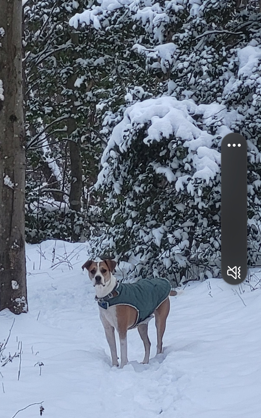
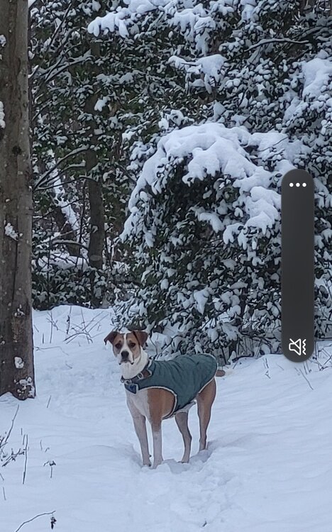
Took the dog out to upper rock creek near the Ag center earlier. What a peaceful and beautiful place to walk. Not a soul out there today.
-
Big storms are the apex of this game but they're too rare to base my satisfaction on. When a real chance shows up I go ape shit like anyone. But the odds are low and the breaks in between are too long. I don't like living my life feeling like I'm missing anything and I enjoy living in the moment more than anything. There were a ton of fun moments over the last week. What a blast
-
Winter appeal and stats are 2 different things. On paper, stats so far look entirely underwhelming. But the appeal of a week of sub freezing snowpacked yards, back to back events, and having them both overperform short range will make this winter for me. I'll remember this week until death or dementia lol
-
4.7" with some compaction. If I knew what I was doing it would prob be 5 lol. Tied with last event. Wow.
-
Popcorn look to radar coming in from WV. Looks light but that look is what I've been expecting. Maybe some brief heavies pop with that stuff.
-
It's a decent shortwave but not enough lift to maximize. We'll see what happens. Current shield is uniform. Stuff rolling in from WV will be a test
-
Interesting radar loop off just off OC. Seems like a meso low. Flow turned east just north of it. Maybe it bombs to 989 before lunch https://weather.cod.edu/satrad/nexrad/?parms=DOX-N0B-0-24-100-usa-rad
-
Would like to see some yellow speckles start to pop on radar at some point. Better lift happening now but still nothing exciting yet.
-
A little compaction but a clean 4" so far. Another inch and lwx bullmap verifies in my yard. Picking back up. Band rollin thru should get me to 4.5" if it lasts an hour
-
Just let this one play out and skip models. Upper level stuff is a real time thing. Models are much better at upglide/fronto. When it comes to snowfall from upper level dynamics, there are usually localized areas of surprise. Models rarely nail that. This isn't a strong system but it's drawn out. We'll see how it goes.
-
The tail on the next band is south of Manassas. Looks more like a blob than a band now. Not seeing subsidence problems. Once it turns back on it should last a while.... famous last words...
-
Pretty lucky to have the waa piece come in at the coldest part of the night then upper level cold stuff during the day. Ratios may end up over 10:1 for both parts.
-
Northern tier posting prob gonna light up next couple hours. Lookin good for them for a while
-
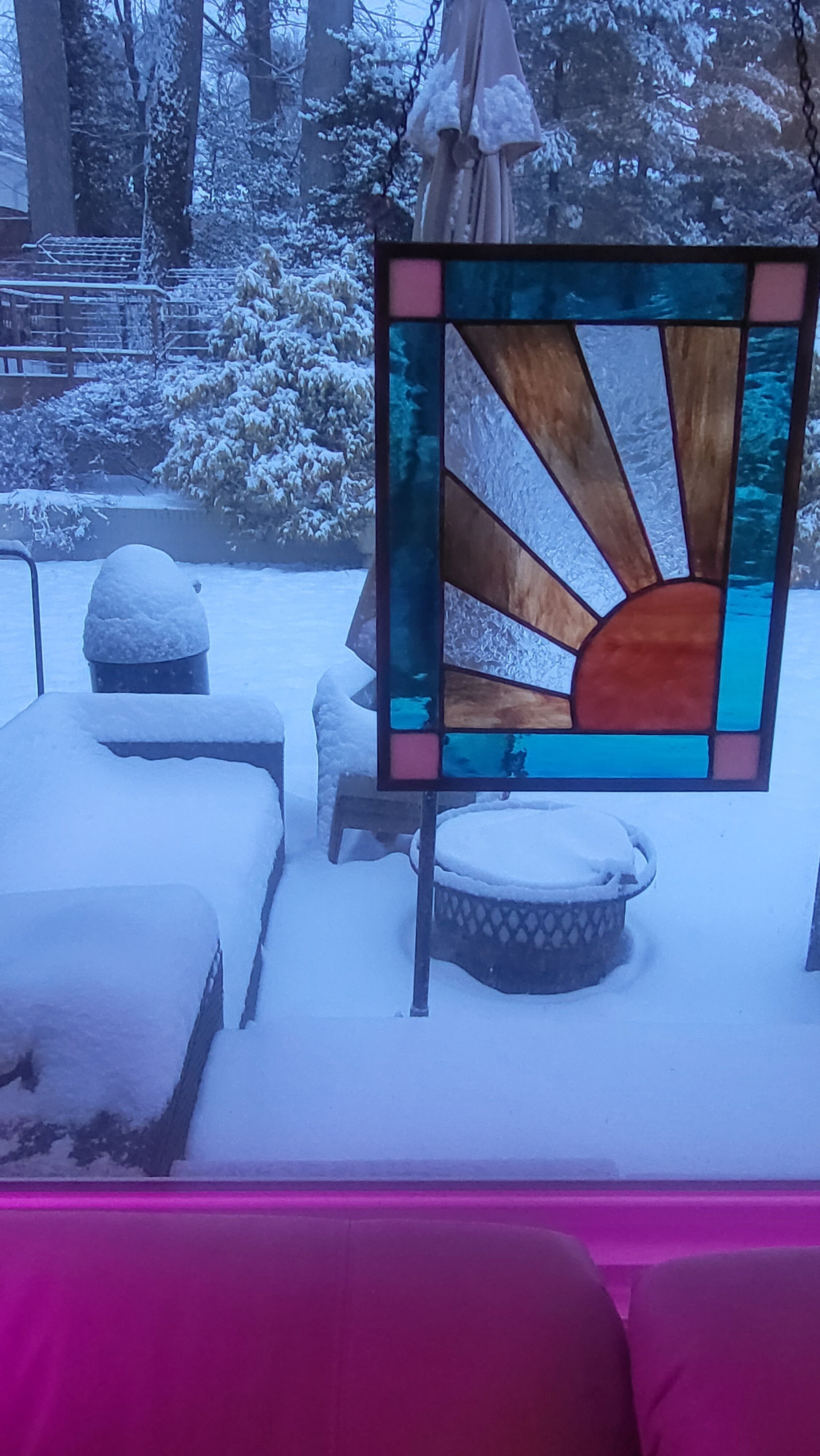
Uh oh.... sun is breaking out Wife makes stained glass. I love this piece in our picture window. Especially when cloudy lol. Backyard lookin like CO lol

-
Bubbling up overhead in Moco. Filling in the gap with the stuff rotating from the west. Everything is breaking right so far. Need the shield to stay intact to hit high end totals. Lulls will compact.
-
I need an inch and a half to tie last storm. Seems like a lock to me unless things unwind.
-