-
Posts
36,345 -
Joined
About Bob Chill

- Birthday July 15
Profile Information
-
Four Letter Airport Code For Weather Obs (Such as KDCA)
Va48
-
Gender
Male
-
Location:
Penhook, VA
-
Interests
Cat 5s up the chesapeake and a foot of ice
Recent Profile Visitors
22,311 profile views
-
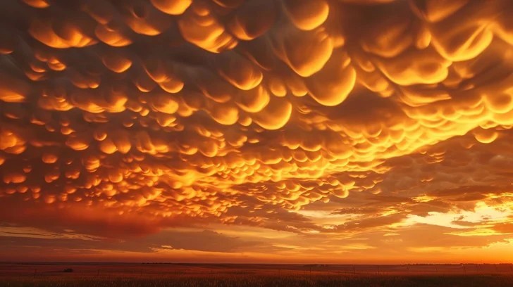
Mammatus cloud sunset. Rare but they happen in the dmv once in a while. Mammatus clouds behind a gnarly thunderstorm are wild but toss a sunset color pallet into it and it's other worldly. Not my pic but what a show here...
- 17 replies
-
- 10
-

-
Idk. Been a snow magnet this year. Radar looks half decent for continued showers/squalls but highly doubt it will amount to much.
-
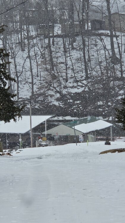
Dumping down here. Legit mod+ snow lol. Roads caved!... or haven't been plowed in 2 weeks.... one or the other.
- 553 replies
-
- 25
-

-
Ended up with a clean half inch last night.
-
Official car topper now and temp down to 32. Might pull off something, measurable if another pulse comes through.
-
Snowing lightly down here. Started around sunset with snow pellets. Slowly transitioning to dendrites. I'm at 33 degrees so it prob won't accumulate unless it picks up quite a bit. Euro says I get 1-2" lol but I think those odds are 1-2% lol
-
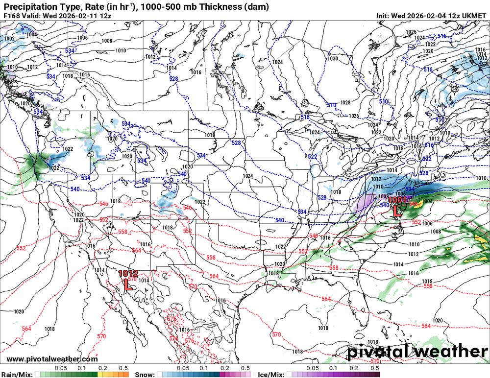
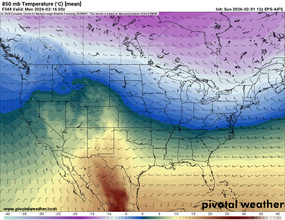
Ukie says don't even write off the pre-PD3 event lol Models breaking persistence too quickly has been a thing for as long as I've played this game. In both directions many times. Since most of our winters kinda stink it feels like that only works against us but persistence is a real thing and toning down warmth in the LR has been happening since early fall lol. It doesn't surprise me at all that guidance has been easing off the warmth part of the pattern. Remember JFM 2014? Day 15 warmth was a staple in guidance. Remember how it went lol? We need a pattern change or it will just keep being dry and cold. Looks pretty locked in that flow will be MUCH more active than its been for many weeks. Back off on the warmth and keep sending shortwaves our way every 3-4 days and we're bound to chaos/luck into something.
-
It's one for the books down here. I'm still at basically 100% coverage. Many side roads are still a packed glacier. Took my dog up smith mtn fire road yesterday and someone had a snowmobile up there within the last couple days lol. 100% coverage for 12 consecutive days has to be a record or close to a record in these parts. My climo kinda sucks (12"+/-) but I'm at 13"+ with 4 legitimate accum events. This winter gets a minimum grade of A- from me. If PD3 pans out or any other decent accum event it would be an A+ based on how I look at this stuff.
-
Winter wasn't in the dumpster fire category up to that point but watching BOS get 100" of snow in 3 weeks while we missed....every.single.storm... was awful lol. Shortly after Jeb's epic "Scumstonian" rant our fortunes changed. The VD squall was wild. I got 2.6" in 30 minutes then the bottom fell out on temps. I was grilling in the single digits with howling winds after getting squalled. What a great day and beginning of an epic run. I pulled my Rockville yard totals for 14/15. Dec sucked but JFM more than made up for it. 11/26 .8 01/06 3.8 01/21 2.0 01/26 2.3 02/14 2.6 02/16 3.2 02/18 .2 02/21 8.3 02/26 1.8 03/01 .3 03/05 6.8 03/20 1.5 Total: 33.6
-
That guy was hilarious. It was a bit of a punch when he disclosed he was sick and shortly after the blizzard of 2016 he stopped posting. I know I'm not alone when I feel some pain thinking about that stuff. This subforum has been pretty legendary. I will always remember the OGs like Ian, Wes, Matt, etc during events. The clever humor was hilarious at times and the analysis was A+. It was much harder back then before we had 50 models running every 15 mins and model output really needed some skills to interpret. I learned an encyclopedia of stuff basically just hanging out and having fun. I still think this place is incredible for both laughs and knowledge but it's different now. Like everything in life and online , it's always evolving and changing. The stretch from 2006-16 was a class of its own. Eastern was great too but chaotic af during events lol.
- 411 replies
-
- 29
-

-
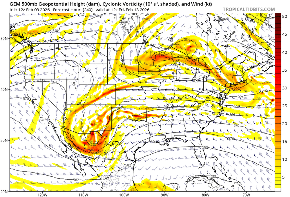
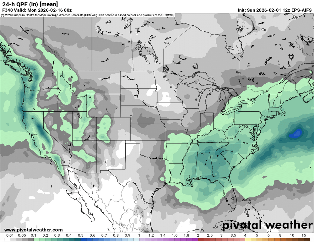
Not that I think the gfs is right during the 14-16 period but it's warm/rainy because the initial wave draws up warmth for the follow up. A more consolidated shortwave timed correctly could work out. Way too far away to worry about fine details in op runs but the window has some things going for it to produce. A warm front/waa snow could do something and a decent track after the cold front could be even better. I'm probably too far south either way but there would be little surprise from me if it becomes a legitimate threat for the dmv. It's a typical luck/timing/chaos marginal setup.


