

Bxstormwatcher360
-
Posts
484 -
Joined
-
Last visited
Content Type
Profiles
Blogs
Forums
American Weather
Media Demo
Store
Gallery
Everything posted by Bxstormwatcher360
-
Snowfall NYC subforum Jan 6 and OBS if needed
Bxstormwatcher360 replied to wdrag's topic in New York City Metro
Always good to see a blooming radar for the i80 corridor,translates well for all of us including the city. -
Snowfall NYC subforum Jan 6 and OBS if needed
Bxstormwatcher360 replied to wdrag's topic in New York City Metro
Snowing in Cleveland..snow in nyc in a few hours. The snowline is following i80 or just north across in to the city later. Also a odd disturbance near toronto,might explain why the precip shield is north and still trying to push our way.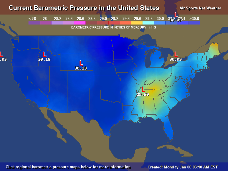
-
Snowfall NYC subforum Jan 6 and OBS if needed
Bxstormwatcher360 replied to wdrag's topic in New York City Metro
Whats crazier its that its still maturing. I said it earier,this is going to be stronger then modeled. Gom is open for biz btw.. -
Snowfall NYC subforum Jan 6 and OBS if needed
Bxstormwatcher360 replied to wdrag's topic in New York City Metro
I was also told that during a minor event forecasted for a trace..got 4.. it can happen reguardless of how many weenies get put up by snowman -
Snowfall NYC subforum Jan 6 and OBS if needed
Bxstormwatcher360 replied to wdrag's topic in New York City Metro
Def not but im not talking big jumps,every mile literally counts esp in these sharp cutoff situations. If the precip shield reaches i80 corridor from des Moines to chicago down the line to nyc.. then yes it would have shifted north quite a bit .. still yet to be seen though. -
Snowfall NYC subforum Jan 6 and OBS if needed
Bxstormwatcher360 replied to wdrag's topic in New York City Metro
Baby steps..all i root for atm. Might not be much but the trend is north my friend. -
Snowfall NYC subforum Jan 6 and OBS if needed
Bxstormwatcher360 replied to wdrag's topic in New York City Metro
The nam is north in any way we slice it,i suspect most models will play catch up. The north trend will keep inching north imo. -
Snowfall NYC subforum Jan 6 and OBS if needed
Bxstormwatcher360 replied to wdrag's topic in New York City Metro
Either way should be interesting to watch it play out,im firmly on the north trend though. It's a great battle between barometric pressures,so who knows. -
Snowfall NYC subforum Jan 6 and OBS if needed
Bxstormwatcher360 replied to wdrag's topic in New York City Metro
This is going to be a huge storm. Also we need to see if precip makes it to chicago,if it snows there,it will likely snow here . -
Snowfall NYC subforum Jan 6 and OBS if needed
Bxstormwatcher360 replied to wdrag's topic in New York City Metro
My sanity is fine,if rooting for any snowfall is insane then put me in the asylum. -
Snowfall NYC subforum Jan 6 and OBS if needed
Bxstormwatcher360 replied to wdrag's topic in New York City Metro
0z runs are gonna be interesting, im also in the north trend camp. I dont see a shutout esp as powerful as this storm could be,a battle of pressures ensues. -
Snowfall NYC subforum Jan 6 and OBS if needed
Bxstormwatcher360 replied to wdrag's topic in New York City Metro
Reminds me of the storm that wasnt unless you were in staten island. Bronx had a inch or 2.. si almost a foot .. the cutoff was nasty!! -
Snowfall NYC subforum Jan 6 and OBS if needed
Bxstormwatcher360 replied to wdrag's topic in New York City Metro
Its coming. Little by little. I mentioned the blocking being weaker then modeled. That possibility is still there -
Snowfall NYC subforum Jan 6 and OBS if needed
Bxstormwatcher360 replied to wdrag's topic in New York City Metro
Currently the blocking is looking a bit weaker and north then modeled for today,not sure if it translates in a few days but if todays snow showers make it to nyc then i think the models might be overdoing the blocking itself. -
Snowfall NYC subforum Jan 6 and OBS if needed
Bxstormwatcher360 replied to wdrag's topic in New York City Metro
Not that anyone is following the clipper moving thru,but we might get some snow later on from that, in fact this might be the perverbial "right under the radar snow". -
Snowfall NYC subforum Jan 6 and OBS if needed
Bxstormwatcher360 replied to wdrag's topic in New York City Metro
The lobe is there but will it weaken just enough??.models cant predict the exact metrics of a upper low all the time. -
Snowfall NYC subforum Jan 6 and OBS if needed
Bxstormwatcher360 replied to wdrag's topic in New York City Metro
Any combo of 2 gets us snow. Weaker confluence,stronger lp. If the Canadian upper low moves west it will allow for a pathway north with the precip and low. Also a more northern placement of the blocking,would also allow a pathway north with precip and low. Right now 75% of modeling suggest minimal snow,although im in the camp of a more northern weaker positioning of the blocking,letting it snow to nyc. -
Living in thr bronx is much better for snow retainment. Its nice and white up here. 4.1 for the season.. 1.1 today.
-
The radar looks gd..we snow!!
-
Ended with 2.6 down..not bad at all. Also more snow likely later on.
-
Sounds about right, over the 2 mark here still adding.
-
From coatings to 2 -3 inch reports in the city. I know i busted in the positive this time. Tripled my .7 inch forecast and its still snowing.. with this final band.
-
Its still snowing at cpk.. its over an inch imo.
-
Good fluff factor where im located at,its been snowing at 27-28f.. managed to break the 2 inch mark up here,all fluff.
-
Imo they should be over.


