windycutter
-
Posts
55 -
Joined
-
Last visited
Content Type
Profiles
Blogs
Forums
American Weather
Media Demo
Store
Gallery
Everything posted by windycutter
-
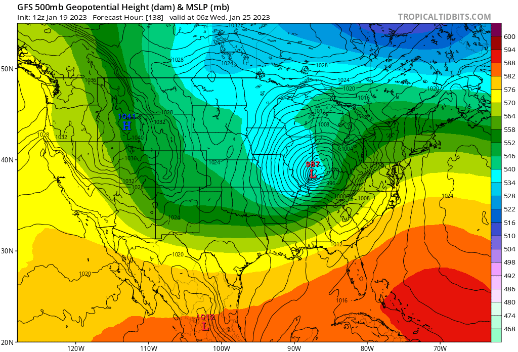
Decent look
-
Phasing in mid week

-
Central PA Winter 2022/2023
windycutter replied to Blizzard of 93's topic in Upstate New York/Pennsylvania
Phasing in...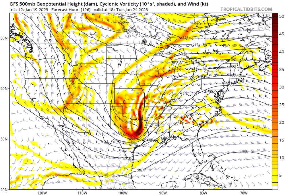
-
Central PA Winter 2022/2023
windycutter replied to Blizzard of 93's topic in Upstate New York/Pennsylvania
well, mid-week system is cutting on GFS
-
Central PA Winter 2022/2023
windycutter replied to Blizzard of 93's topic in Upstate New York/Pennsylvania
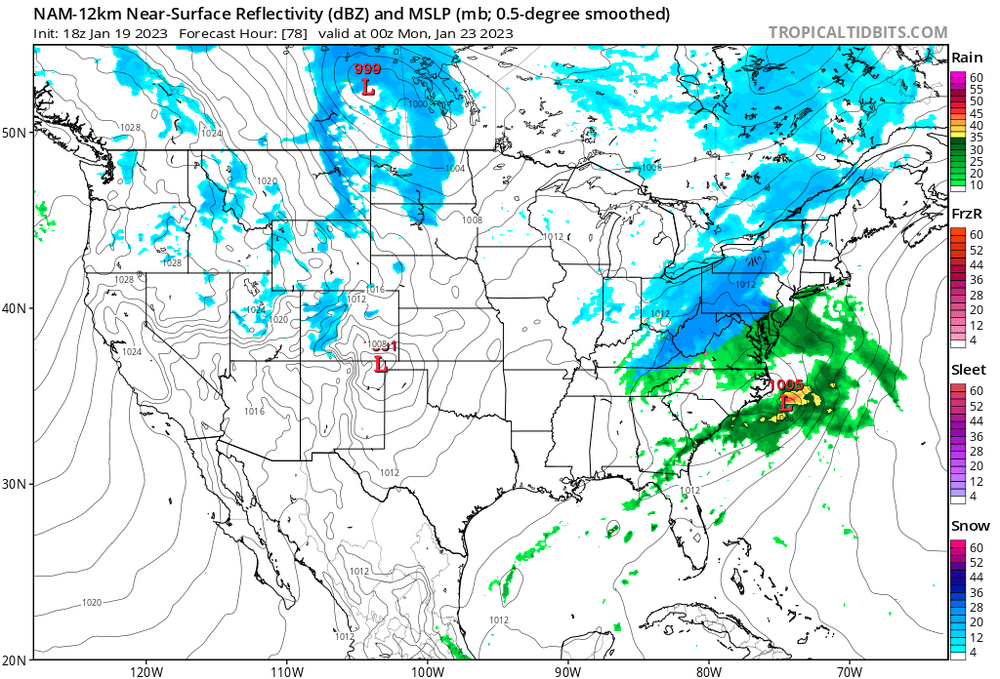
The problem in SW PA (Pitt area) is the primary. Every time one tracks toward our are, WAA wins out with cold rain. CAD to our east allows for central to some of southeastern Pa to receive more frozen. If you look at snow maps, you will notice a small portion of SW PA with very little in the form of snow. -
Central PA Winter 2022/2023
windycutter replied to Blizzard of 93's topic in Upstate New York/Pennsylvania
As It looks to me, when comparing snow maps from 18z and 0z, the Icon was better ar 18z. -
Central PA Winter 2022/2023
windycutter replied to Blizzard of 93's topic in Upstate New York/Pennsylvania
It appears that the Icon brought it further north around 93. -
Central PA Winter 2022/2023
windycutter replied to Blizzard of 93's topic in Upstate New York/Pennsylvania
Some serious cold coming in if it is to be believed. -
Central PA Winter 2022/2023
windycutter replied to Blizzard of 93's topic in Upstate New York/Pennsylvania
Interesting!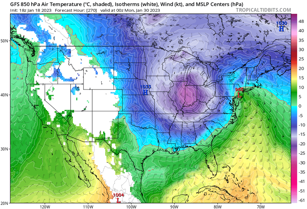
-
Primary to far north.
-
Yep, mud fest.
-
Agreed, but all three low placements would bring enough warmth to many southern areas. Seems to phase up too soon.
-
Central PA Winter 2022/2023
windycutter replied to Blizzard of 93's topic in Upstate New York/Pennsylvania
The primary will bring WAA to some areas of western PA. -
Central PA Winter 2022/2023
windycutter replied to Blizzard of 93's topic in Upstate New York/Pennsylvania
Cuts from one to another. -
Central PA Winter 2022/2023
windycutter replied to Blizzard of 93's topic in Upstate New York/Pennsylvania
Yuck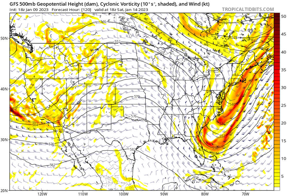
-
Would be nice to see a transfer/ redevelopment further south on most models. Primary bringing too much warmth.
-
Historic Christmas Lake Effect Blizzard
windycutter replied to BuffaloWeather's topic in Upstate New York/Pennsylvania
At this time, yes video and sound. -
Historic Christmas Lake Effect Blizzard
windycutter replied to BuffaloWeather's topic in Upstate New York/Pennsylvania
Be safe and warm BuffaloWeather as well as to those all experiencing this extreme wind and cold. -
Interesting, I was not aware of that process. Good to learn.
-
Central PA Winter 2022/2023
windycutter replied to Blizzard of 93's topic in Upstate New York/Pennsylvania
The crazy thing is that my area rarely sees any type of advisory or warning. As stated with the prior storm, the wind ripped pieces of my mother's awning out from the house. -
Central PA Winter 2022/2023
windycutter replied to Blizzard of 93's topic in Upstate New York/Pennsylvania
No ice! WAA here. CAD does not occur due to being just west of the ridge. -
Central PA Winter 2022/2023
windycutter replied to Blizzard of 93's topic in Upstate New York/Pennsylvania
I must say, nice write up. In addition, being located at the very base of the Laurel Mountains, wind is generally strong here. My area had some damage with the past storm. -
Has anyone/Mets mentioned the lake effect aspect of this storm?