SnoSki14
-
Posts
14,682 -
Joined
-
Last visited
Content Type
Profiles
Blogs
Forums
American Weather
Media Demo
Store
Gallery
Everything posted by SnoSki14
-
2-3' or bust
-
Starting to wonder if eastern areas could turn to rain if there's a full capture. Like that one storm that gave us snow and skunked central & eastern SNE
-
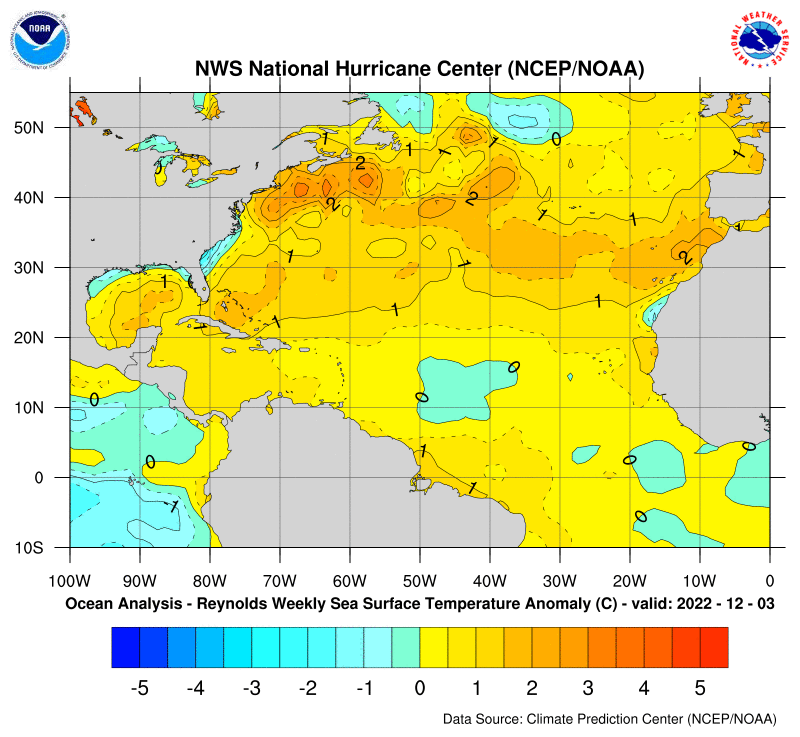
This doesn't hurt either. A lot of fuel out there
-
Yeah I think the timing of the capture will be what models waver on for the next several days. Interestingly enough they both (Euro & GFS) have the PNA recycling which means another storm is possible after this one. If so that'd be very reminiscent of 2010
-
Does anyone want a flawless run right now I'm just happy models are in good agreement already. Usually a good sign of something big
-
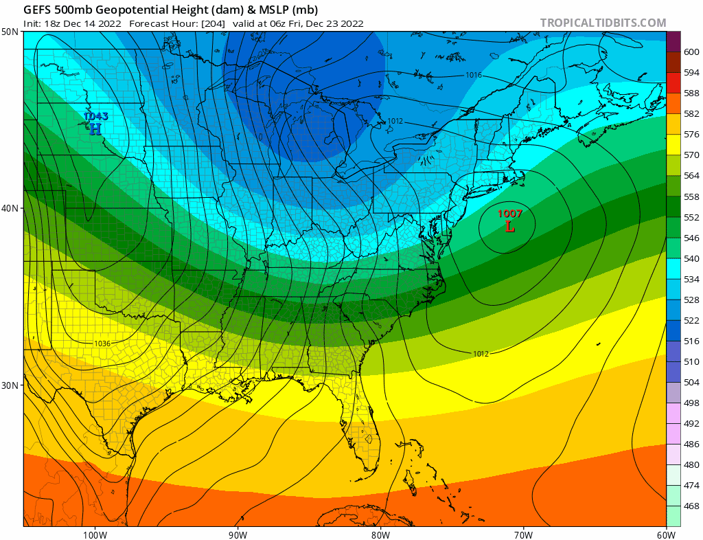
We're only getting a coastal hugger today because the primary is in the lakes. Actually if it weren't for the block we'd probably be in the 60s today with a wound up cutter.
-
Good enough at this timeframe
-
A little disjointed with the double low but I'll take it at this range
-
Imo that's more significant than an op run Op runs will waver a lot. We want ensembles to stay the course
-
Lots of potential in that time frame. Big PNA spike and west based NAO along with another big -AO dip
-
GEFS show multiple threats
-
Shades of Feb 1978 perhaps
-
That's also where the melts come in. Because if not every run shows a blockbuster people panic And when people track for 9-10 days they lose it
-
It helps that the AO may go even lower than we've seen this week. Double lows below -4 in December?
-
Things wouldn't have to change too much for a more favorable outcome. A stronger PNA spike or a stronger 50/50 due to better Atlantic blocking could do the trick. I would prefer a better PNA
-
Quite the storm potential next week. Will it be a dynamic arctic front or a Miller B is the question. Regardless a massive chunk of arctic air will be unleashed for Christmas
-
I think this year could end up like 12-13 vs 01-02
-
We're too far gone to see those again or 13/14 & 14/15
-
GFS looking a lot better tonight. Has a solid PNA ridge Would be nice if Euro trended that way
-
A +PNA is still more important than the NAO/AO because it allows cold air to funnel eastward particularly in December. With a -PNA you can get the Euro op
-
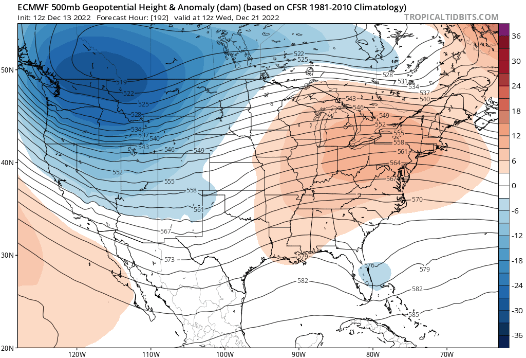
Those cold anomalies are off the charts in the western half. Part of me would like to see the Euro play out. That's historic cold for a lot of places out west
-
If Euro is right then December is done but we are talking about a Day 9-10 op run
-
Euro is a disaster for us but very plausible in a well coupled Nina. I don't think there's anything more important than a +PNA in 1st half of winter if you want snow. No amount of Atlantic blocking will supercede it
-
Maybe even down to LA. That's historic cold out west
-
Euro is even better. Massive SE ridge as cold dumps west This is what blocking buys you according to Euro op