Hurricane Agnes
-
Posts
8,877 -
Joined
Content Type
Profiles
Blogs
Forums
American Weather
Media Demo
Store
Gallery
Everything posted by Hurricane Agnes
-
E PA/NJ/DE Fall 2023 OBS/Discussion Thread
Hurricane Agnes replied to Rtd208's topic in Philadelphia Region
Not sure what the heck it is - outflow boundary? Trough? Something has backed in and over me to dribble some non-measurable moisture over the area - enough to even generate a faint rainbow! It's currently overcast with some breaks in the cloud deck, and 89 with dp now up to 74 thanks to something wringing out some moisture out of the dampish-dry clouds!
-
E PA/NJ/DE Fall 2023 OBS/Discussion Thread
Hurricane Agnes replied to Rtd208's topic in Philadelphia Region
Well I bottomed out at 74 this morning and made it up to 94 as a high so far today. Looks like KPHL broke its record of 93 for today too (waiting for the RER updates). Currently mostly sunny and 92, with lots of high clouds, and dp 73. -
E PA/NJ/DE Fall 2023 OBS/Discussion Thread
Hurricane Agnes replied to Rtd208's topic in Philadelphia Region
Wasn't sure I would get there but I did eventually hit 90.0 just before 4:30 pm today, so that starts day 1 of the upcoming heatwave. It was actually "summery" but not oppressive at all, as the dps mixed out some, plus there was an active light breeze. It's currently clear and 82 with dp 68. -
Gonna have to chance your account name to "ChasingWaves".
-
E PA/NJ/DE Fall 2023 OBS/Discussion Thread
Hurricane Agnes replied to Rtd208's topic in Philadelphia Region
Made it up to 81 for a high yesterday just before 3:30 pm, but in contrast, I was already at a mostly sunny 83 so far this morning by 10:30 am, after a low of 64. Had to give everything a good soaking this morning and it wasn't bad out despite the dp having crept up to 70. Will see how close we get to any records for sites in the CWA - -
That's hilarious and true! I have heard people even refer to "8 seasons". Yup. It's an annual thing. And ironically because of what happened last year with an attempt to start before Labor Day in August again, and having to be released early for much of that week (the last week of August through the first week of September had temps in the mid-80s to low 90s), they went back to starting the day after Labor Day as usual, and it didn't matter. As long as there are a large number of century+ old school buildings continuing to be used, it will be like this. They still have to complete the upgrades to the electrical systems in those old buildings to handle individual classroom air-conditioners. I was bopping around 55 for a low this morning and that appears to be it as I'm currently at 56 and partly cloudy with dp 55. That 55 low is the coolest since the first week of June IMBY.
-
E PA/NJ/DE Fall 2023 OBS/Discussion Thread
Hurricane Agnes replied to Rtd208's topic in Philadelphia Region
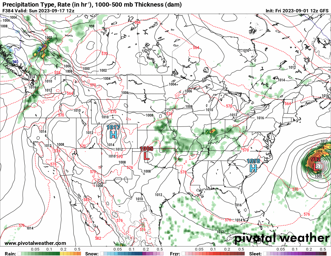
GFS was spinning up storms the past couple days in the GOM including one hitting TX near the end of the run. The 12z has yet another spun up out of the Caribbean.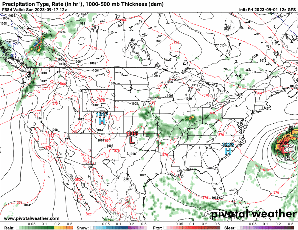
-
E PA/NJ/DE Fall 2023 OBS/Discussion Thread
Hurricane Agnes replied to Rtd208's topic in Philadelphia Region
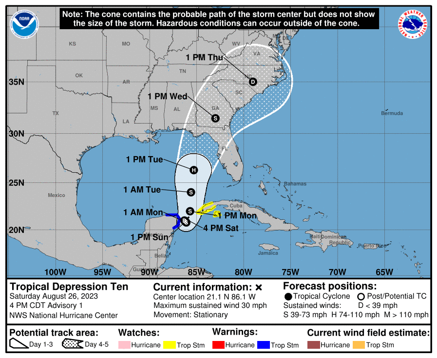
TD-12 (potential "Katia" if it gets named) is up and running with the 11 am update. It might not survive the trip across the Atlantic though. Currently sunny with lots of blue sky and 73 with dp a nice 52.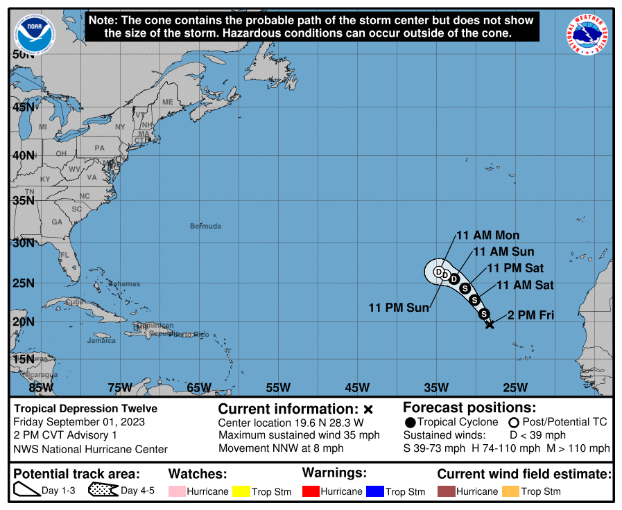
-
E PA/NJ/DE Fall 2023 OBS/Discussion Thread
Hurricane Agnes replied to Rtd208's topic in Philadelphia Region
Franklin, Idalia, and Jose all circled the wagon in the Atlantic and brought zombie Gert back to life! After a low of 62 yesterday, I made it up to 77 for a high... but the news of the day has been the dps down in the low 50s, making for probably one of the nicest days of late. Finished the month of August with 3.78" of rain. So far my low this morning has been 58 and it's currently 59 with dp 52.
-
I believe it! It's been one of those years.
-
He raised about $50,000 before ending the stream to get some rest and expects to be figuring out how to distribute it. We almost always have some kind of heat wave right around Labor Day (similar to the April "heat waves*" (or at least upper 80s and maybe a 90 here and there)). That's why every time the city tried to start schools before then, they had to let out 1/2 days much of that week since they still don't have enough ACs in the 100+ year old buildings.
-
No Ryan Hall Y'all? It's still a Cat 1 over land in GA. Meanwhile, the front has been moving through and the dp has dropped down to 66 with a temp of 81.
-
Ended up with a high of 79 yesterday and a low of 70 this morning, with a little bit of tropical rain from Idalia that ran up over the front as it moved east, giving me 0.24" this morning. It's currently starting to clear and is 72, with a still humid dp of 70.
-
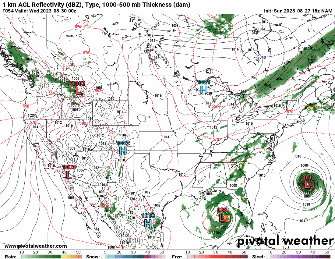
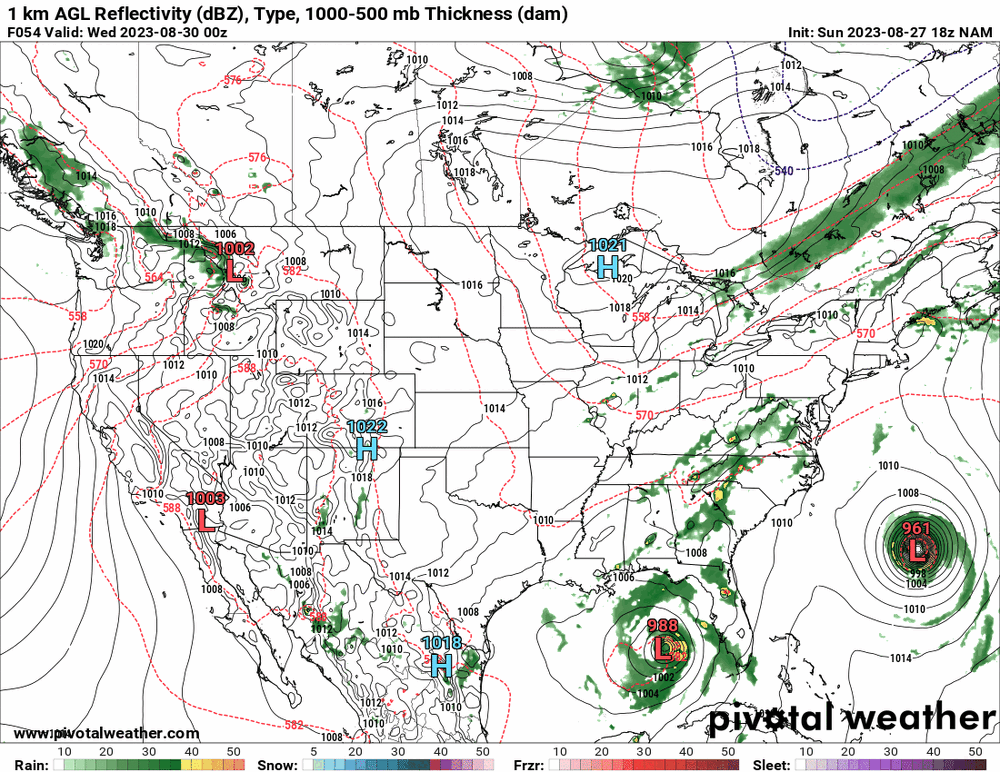
I ran an 18Z NAM and this is an example of not needing a hit but just having a front nearby to suck up the moisture! All the models have been showing some high pushing down from Canada to send Idalia OTS (at varying degrees) but I suppose the strength and timing of it will definitely make a difference with the path.
-
I was watching that. Always thought that was cool. Made it up to 65 today and the dp was still hanging in that mid-60s. Currently partly cloudy and 79 with dp 66. As a side note, I ran the 18Z GFS and it picked up what looks like another tropical cyclone in the GOM and aimed it at TX right at the end of the run! Sounds like it is getting warmed up for winter.
-
If you have any frontal passage corresponding with it as it approaches, the moisture could get entrained in that to produce an overrunning event, regardless of whether we get a direct remnant hit or not. This is what Ian did last year - Et voila! Between Sept. 30 - Oct. 5, I had 5.02" of rain from that! Similarly, Ida gave me 5.41" of rain the year before on Sept. 1 And in 2020, Isaias deposited 4.39" here on Aug. 4. And although the "S" word storm was the big one for people, Hurricane Issac gave us a little love in 2012 - I always keep an eye out for "I" storms around here (think "Irene", "Issac", "Irma" (got some splats), "Isais", "Ida", "Ian"). As an obs, I think I have finally bottomed out at 67 and it's currently a partly sunny 68 with a lower dp (finally) of 64.
-
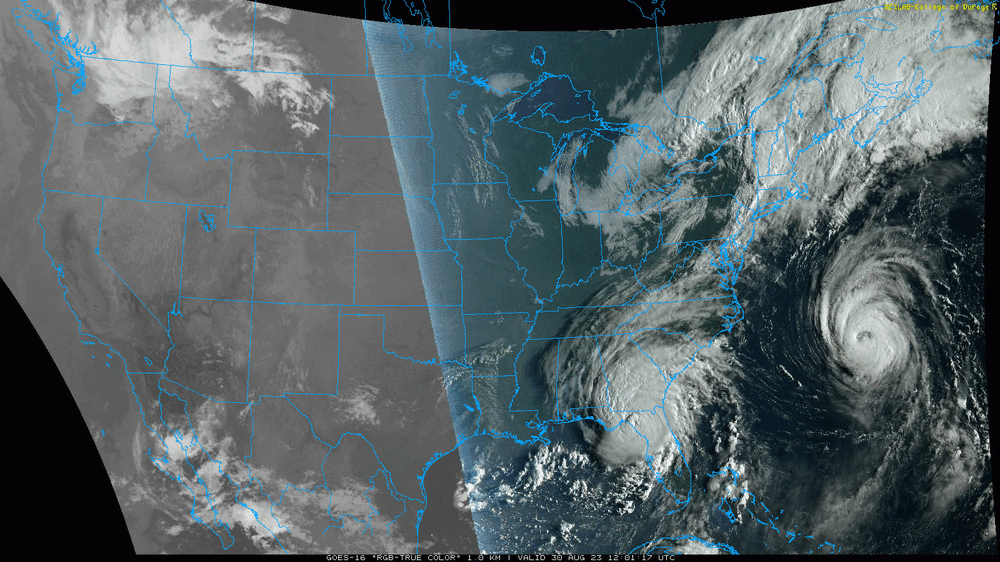
Looks like our soon-to-be-a-(Philly Special)-"I" tropical cyclone is in the making (just became a TD). Had a low of 71 this morning and made it up to a humid 87 for a high. It's currently a partly sunny and still-humid 84, with dp 70.
-
What was probably more amazing was that D.C. didn't get their 1st August 90 until 8/12. I ended up get mostly fringed by the rain so far (although I'll take what I got which was more than nothing). Had 0.12" late last night and then another 0.19" on and off this morning for a 2-day total of 0.31". Had a low of 68 and it's currently mostly cloudy with breaks of sun, and a humid 83 (my high so far) with dp 74.
-
Hit 80 for a high yesterday after a low of 61 and decent dps for late August. Am hoping for some rain too and will see what happens with that big MCS sitting back over OH. Currently overcast and 68 with dp 62.
-
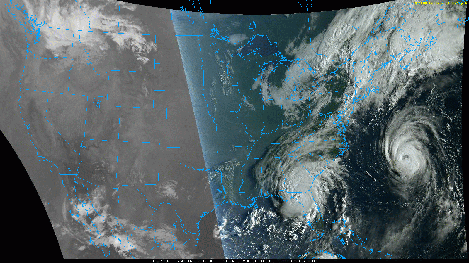
Of course not related but can you imagine how many are there who haven't had the experience of a TS (or remnants) and then have an earthquake accompany it?? Thing is, if there are road/surface cracks from that plus the rain, it's going to be a mess. WPC seemed to think there would still be hazards associated with it all the way through Wednesday (that latter timeframe further north). Am thinking that if there is still circulation going, it could pull moisture in bands off the ocean out of the NW as the storm pivots. And speaking of rain, what little I got the past week meant I had to pull out the hose today. I am watching the Atlantic that suddenly exploding into being with 2 tropical storms forming and a potential right in the bath water GOM that is about to pop off so will see what happens with at least that one (if it doesn't get sheared apart).
-
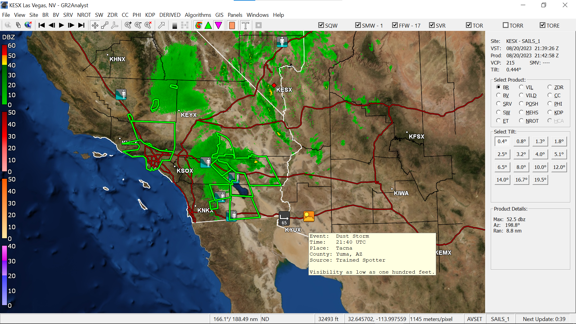
They had to top it off with a 5.1 earthquake as Hilary was lashing the area. There were even some dust storms popping up in AZ. I ended up with my coolest low for August so far - 59 - and made it up to 86 for a high. I think the high clouds and what was supposedly some wildfire smoke way up high, kept the temp down. The dp did creep back up into the mid-60s though. The circadas were going this morning though and I also saw a cicada killer ready to find one too. Currently partly sunny with some haze and 80, with dp 65.

-
Ended up with a high of 87 yesterday and a muggy low of 66 this morning, with 2 minuscule rounds of rain this morning, with 0.03" sometime between 2 - 3 am and another round of 0.07" after 6 am for a total of 0.10" for today (3.23" for August). There was a battle of the air masses this morning as the dps in the 70s fought back hard but were finally vanquished by mid-morning, dropping into the 60s. And now after hitting 82 as a high today, it's currently a partly sunny and breezy 75, with lots of cumulus, and a rare dp of 54.
-
Had a little line come through the city this morning and I managed to scrape 0.18" from it (total now 0.25" over 3 days and 3.13" for the month of August). Currently overcast and at my low (so far) of 72, with a steamy window morning thanks to the dp of 72.
-
Got another 0.02" for a total of 0.04 for the day (so far) and 0.07" over the past 2 days. Monthly total is 2.95" to date. Currently 76 with dp 75.
-
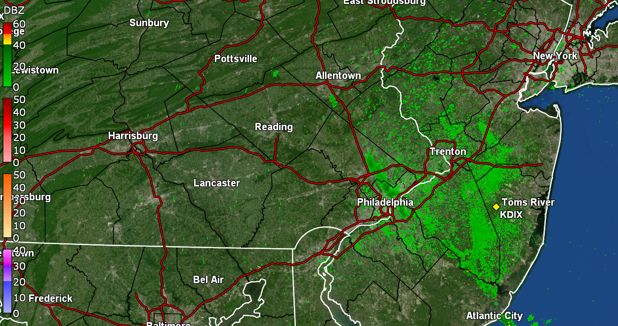
Finally got enough of a fringe to get another 0.01"! I'll take it I guess (as I watch the cell scoot round me to the south and then blow up again to my east).