
SolidIcewx
-
Posts
1,591 -
Joined
-
Last visited
Content Type
Profiles
Blogs
Forums
American Weather
Media Demo
Store
Gallery
Everything posted by SolidIcewx
-
https://seagull.glos.org/landing
-
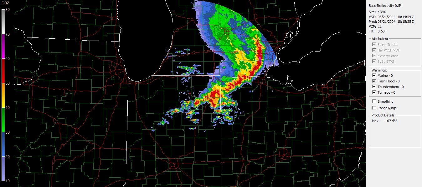
Nice pop up storms firing in central Michigan
-
Great Lakes Derecho coming to your home town summer 2023 check back for further updates of the summers best show!
-
That’s what I was telling my fiancé. This would have been fantastic post cold front summer weather. My house gets really hot so there I have turned my AC on when I’m cooking dinner then turn it off not long after. The windows stay open and it’s gets so cool. The rapid temp drop offs at night is neat
-
76/49 here imby definitely more moisture in the air today
-

Spring 2023 Medium/Long Range Discussion
SolidIcewx replied to Chicago Storm's topic in Lakes/Ohio Valley
What goes up must come down -
That’s what I’ve noticed too all the late bloomers around here are sprouting. It’s been a very rapid green up just for a shock to the system soon
-
Yeah working today the heat was getting to me a bit. Drinking water and electrolytes as-well. Hands kept getting dry also. Felt like roadkill for a little while lol caught me off guard. Really nice nonetheless
-
I definitely notice the warmth since winds are light and variable right now. Going to definitely be warm outside today
-
I seen a bit of that this morning as I was getting ready for work. Temp swings are just as fascinating at other weather aspects. Even tho it was 49 when I arrived as soon as the sun hit I was warm
-
Yeah that’s the thing we got a whole lotta spring left still. Pattern can go to stormy once we roll into may. 2008 definitely saw a lot of rain end of spring like you said
-
The crazy temp swings are of interest to me. It’s always neat to see a sharp drop or a sharp warm up
-
This dry warm air definitely making me drink twice the water I normally do outside lol. Gotta love working outdoors
-
77 already where I’m working. Calling for 80 but I believe it will overachieve like yesterday. Less wind this time and it’s a little warm without AC in my work truck lol. Probably will be tempted to jump into the Huron river by 3pm. Definitely my northern blood being thick and just coming off of winter has something to do with it
-
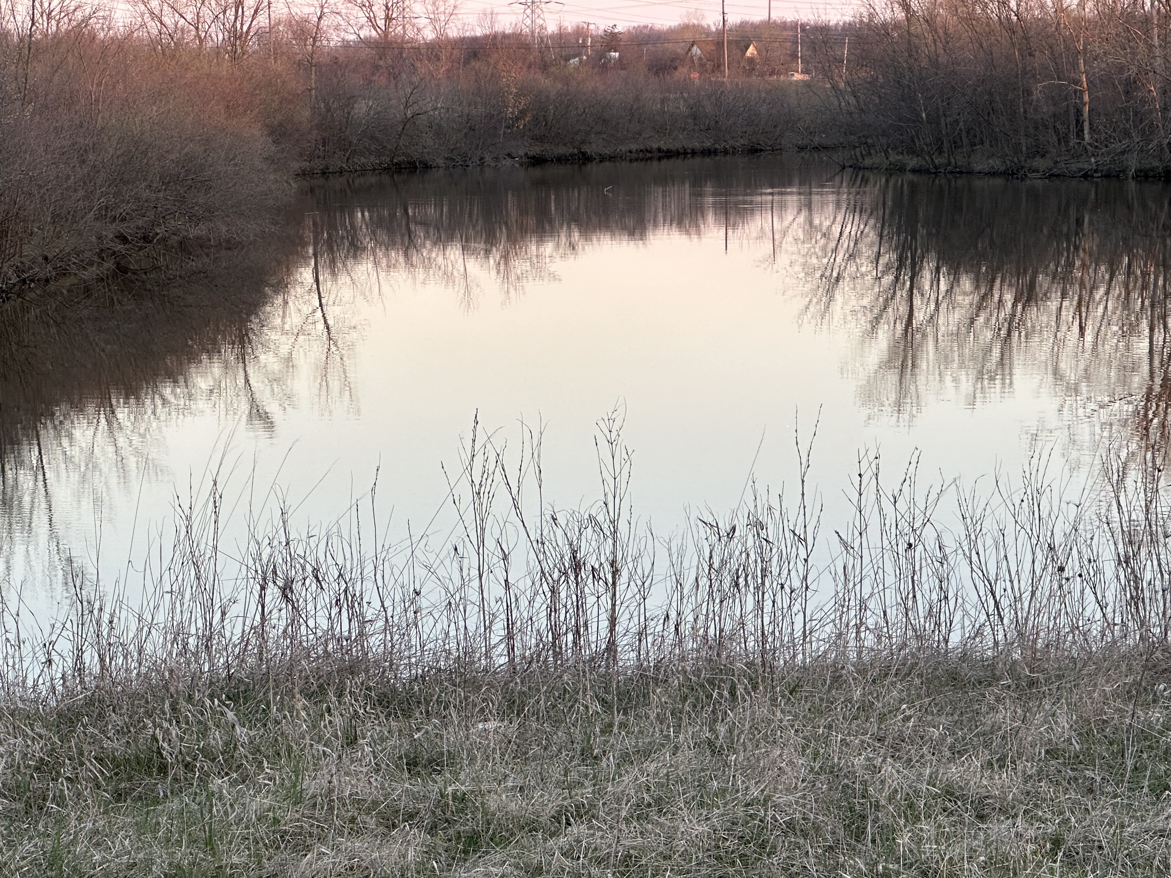
Been coming back behind this pond that sometimes overflows into the creek for the last few weeks. Been seeing quite a bit of fish goin after the flies above the water. Seen a nice size catfish too damn I wish I had my pole with me

-
I had to yesterday as it got to 82 inside my house by 7pm left it on 2 hours and had windows open rest of the night. First day today where I left the house for work without even a hoodie to wear
-
Talk about a hard flip hot damn
-
I agree I’m outside right now. Got the lawnmower fired up for later in the week checking all my lawn stuff and have a stogie in my mouth to top it off. It’s only me and my 13 year old at home nice and quiet too
-
Spring 2023 Medium/Long Range Discussion
SolidIcewx replied to Chicago Storm's topic in Lakes/Ohio Valley
Give me a Florida style lightning storm and I’ll be happy -
Torching instead
-
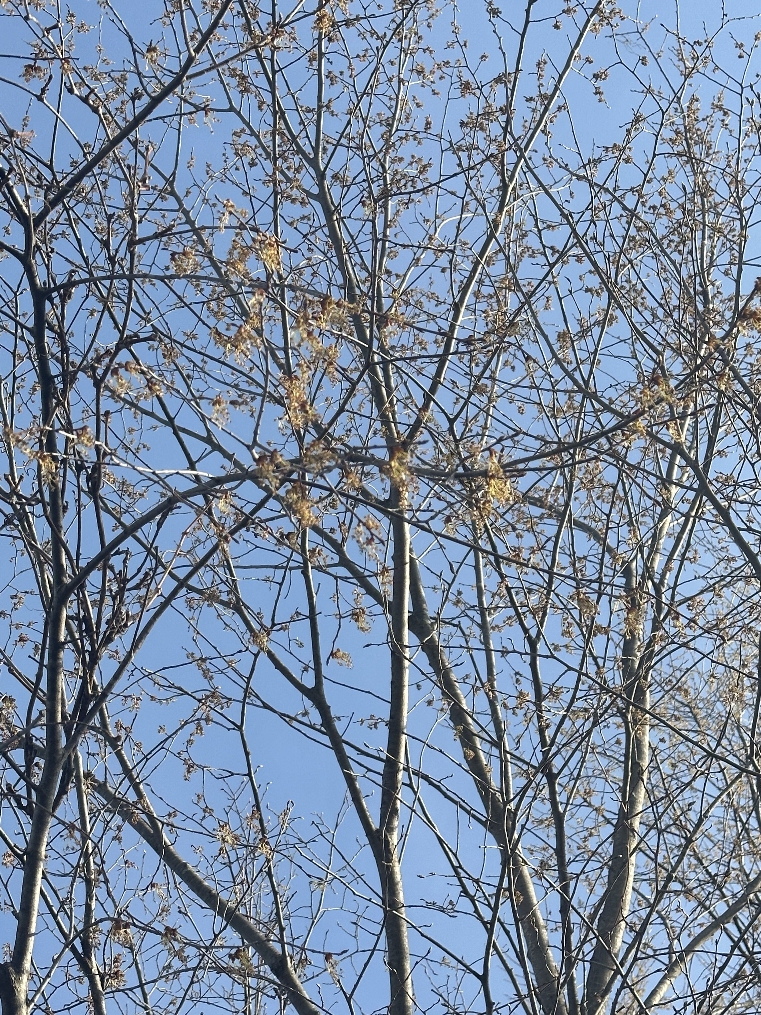
Can confirm silver maples and Norway maples got some shoots as well. I was at a first aid class all day yesterday so I was not able to observe the growth till this morning as I’m out checking power lines
-
Spring 2023 Medium/Long Range Discussion
SolidIcewx replied to Chicago Storm's topic in Lakes/Ohio Valley
I seen something in OT and made me think about it this morning more so for mid summer storms and weather patterns -
Thank you sir I appreciate it. I’m just now paying attention to leaf outs since I started working with tree species myself. Seems a little early this year I look forward to getting more detail on trees as I watch them bloom and helps with my identification purposes
-
Spring 2023 Medium/Long Range Discussion
SolidIcewx replied to Chicago Storm's topic in Lakes/Ohio Valley
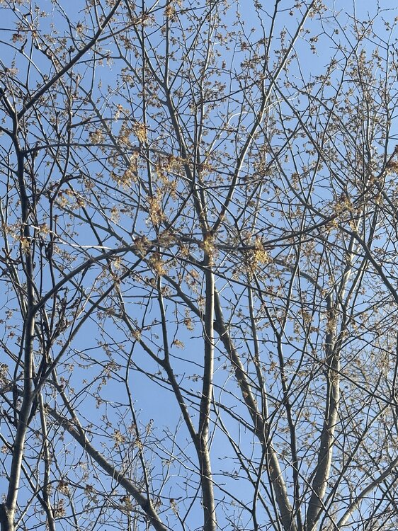
Seen some bloom this morning in a few elm trees. The warmth this week is going to get everything going -
Got some tree bloom in southern Wayne county now. Siberian elms popping now. When did everything pop last year in this area I'm sure snowfreak would know