Iceresistance
-
Posts
4,190 -
Joined
-
Last visited
Content Type
Profiles
Blogs
Forums
American Weather
Media Demo
Store
Gallery
Everything posted by Iceresistance
-

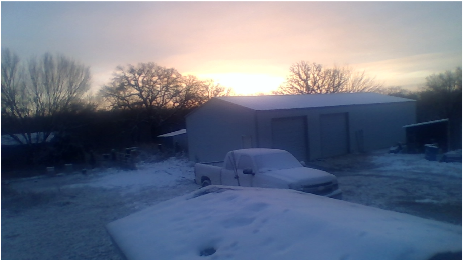
December 2021 Cold Wave?
Iceresistance replied to Iceresistance's topic in Weather Forecasting and Discussion
The Models have severely underestimated the +EPO, there was models hinting a cold wave in long range but the ++EPO would not let it even happen, don't count out the end of December yet. -
December 2021 Cold Wave?
Iceresistance replied to Iceresistance's topic in Weather Forecasting and Discussion
The +EPO is refusing to go away, the cold wave may never happen . . . -
Central PA - Winter 2021/2022
Iceresistance replied to Bubbler86's topic in Upstate New York/Pennsylvania
No, it's more like a Glancing blow, there is snow still expected for Pennsylvania, but not as much compared to New York & Massachusetts -
Wednesday 12/8 Possible Snow/Ice/Rain? Discussion
Iceresistance replied to Torch Tiger's topic in New England
6z GFS is showing the Southern, Weaker Track. Also moving a lot faster compared to 0z -
Central PA - Winter 2021/2022
Iceresistance replied to Bubbler86's topic in Upstate New York/Pennsylvania
@Itstrainingtime14-3, Michigan is in the lead to start the 2nd Quarter -
Or a Winter that never existed . . .
-
Is it possible that I can see that post?
-
2021-2022 Fall/Winter Mountains Thread
Iceresistance replied to BlueRidgeFolklore's topic in Southeastern States
Northern Virginia gets clipped by the snow on Next Wednesday. However, there is a major storm next Sunday on the 18z GFS with snow as far south as Georgia & Western North Carolina. -
Central PA - Winter 2021/2022
Iceresistance replied to Bubbler86's topic in Upstate New York/Pennsylvania
He's Heat Miser! He's scared of 12 inches of snow! -
December 2021 Obs/Disco...Dreaming of a White-Weenie Xmas
Iceresistance replied to 40/70 Benchmark's topic in New England
It does appear that the coastal areas don't get a lot of snow from this storm, but if it trends colder, then it will be scary to watch. -
December 2021 Obs/Disco...Dreaming of a White-Weenie Xmas
Iceresistance replied to 40/70 Benchmark's topic in New England
@Typhoon TipThe GFS was very accurate in the February 2021 Cold Wave, but the Euro wanted to have none of it. -
Central PA - Winter 2021/2022
Iceresistance replied to Bubbler86's topic in Upstate New York/Pennsylvania
No, I've noticed a possible Major Winter Storm for New England (My Early Childhood place, I was born in CT) & I came in to help Y'all with the Models -
Central PA - Winter 2021/2022
Iceresistance replied to Bubbler86's topic in Upstate New York/Pennsylvania
Doing a Kuchera Ratio Comparsion: -
December 2021 Obs/Disco...Dreaming of a White-Weenie Xmas
Iceresistance replied to 40/70 Benchmark's topic in New England
The 18z & 6z Euro can been seen on Pivotal Weather Plus (Need a paid Subscription for that though) -
December 2021 Obs/Disco...Dreaming of a White-Weenie Xmas
Iceresistance replied to 40/70 Benchmark's topic in New England
18z GFS Kuchera Ratio Snowfall from the 1st Storm, it looks really potent (If you see "SE Snowfall" on the GIF, I meant "NE Snowfall") -
December 2021 Obs/Disco...Dreaming of a White-Weenie Xmas
Iceresistance replied to 40/70 Benchmark's topic in New England
Also need to watch the PV as well, it appears it could stretch towards the CONUS by Christmas Week, the GEFS has taken strong note of that. -
December 2021 Obs/Disco...Dreaming of a White-Weenie Xmas
Iceresistance replied to 40/70 Benchmark's topic in New England
I've found at least 4 major Scenarios for this storm system: Strong Southern Track (One that will dump a LOT of snow) Weak Southern Track Strong Northern Track Weak Northern Track -
December 2021 Obs/Disco...Dreaming of a White-Weenie Xmas
Iceresistance replied to 40/70 Benchmark's topic in New England
I'm younger too, but I'm self taught -
December 2021 Obs/Disco...Dreaming of a White-Weenie Xmas
Iceresistance replied to 40/70 Benchmark's topic in New England
I've been around since 2003, I was born in CT. This is an unusual setup as well, we don't usually have a big snowstorm anywhere from the Central Plains to the East Coast with a +NAO, +AO, & +EPO -
December 2021 Obs/Disco...Dreaming of a White-Weenie Xmas
Iceresistance replied to 40/70 Benchmark's topic in New England
The GEFS is also being somewhat consistent as well, here's the Mean Snowfall up to 7 days out on the 12z, even though that the signal is somewhat weaker compared to 6z -
December 2021 Obs/Disco...Dreaming of a White-Weenie Xmas
Iceresistance replied to 40/70 Benchmark's topic in New England
@40/70 Benchmark -
December 2021 Obs/Disco...Dreaming of a White-Weenie Xmas
Iceresistance replied to 40/70 Benchmark's topic in New England
At an exit I'm guessing. Or uses Siri to help him post here. -
December 2021 Obs/Disco...Dreaming of a White-Weenie Xmas
Iceresistance replied to 40/70 Benchmark's topic in New England
Posting when he's stopped at a Stoplight.


