Iceresistance
-
Posts
4,190 -
Joined
-
Last visited
Content Type
Profiles
Blogs
Forums
American Weather
Media Demo
Store
Gallery
Everything posted by Iceresistance
-
Maybe Winter is acting like "Snow to start, dry in the middle, & then end with a BANG!"
-
 Wednesday does highly depend on the northward extent of the severe weather threat because some models have a MCV developing into the Ohio Valley on Tuesday.
 -
Yes, the Pink area matches the SPC's High Risk area, Ventrice's experimental automated forecast uses the colors for the SPC's Convective Outlook. (Thunderstorms, Marginal, Slight, Enhanced, Moderate, & High (Could not find the Pink))
-
The D5 & D6 Slight Risk has shifted west again, that's kinda worrying.
-
April 10th looks to be likely Capped out, & April 14th currently has too much uncertainty.
-
We have 3 chances that this could get big, Wednesday has the highest potential. There is a trend where the storms have a tendency to slow down & be further west as well, if that's the case here, I may get Tripled.
-
Kite, GA just got hit.
-
I've shared it here, but not on this since it was not related to the location
-
The only saving grace is that the Wind Shear is weaker than expected, that's why the Supercells are having a harder time producing tornadoes
-
Already saw it, it's CRAZY! Keep in mind that it's 8 Days out, things will change
-
Slight Risk now in place for D6 & D7 for the Southern Plains
-
There's already a confirmed death in Pembroke.
-
Would be more believable if it was in Oklahoma
-
He's crazy!
-
Found this to try to find it: https://www.511sc.org/#zoom=12.005927835609697&lon=-80.51541917693004&lat=33.42688176414423&dmsg&rest&cams&other&cong&wthr&acon&incd&trfc It's likely crossing I-26 right now!
-
NWS is saying it's over I-26 & heading towards I-95! Might get a glimpse of the tornado using this: https://www.511sc.org/
-
How can I read this?

-
Texas/Oklahoma Discussion & Obs Thread 2022
Iceresistance replied to It's Always Sunny's topic in Central/Western States
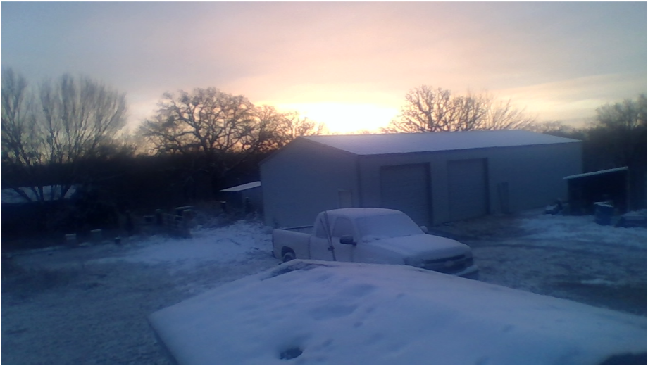
Only 80 at my house -
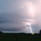
Bamburg Tornado now PDS warned
-
Oh my goodness, everyone in the path of this monster MUST BE BELOW GROUND NOW!
-
Public confirmed LARGE tornado on the ground near Olar, SC
-
It has lifted, but could still touch down again EDIT: NWS says it's still on the ground
-
Another tornado on the ground, it's heading STRAIGHT towards Colombia, SC
-
Likely violent tornado based on this.
-
They don't know if it turns even further right or go NE


