

George001
-
Posts
6,140 -
Joined
-
Last visited
Content Type
Profiles
Blogs
Forums
American Weather
Media Demo
Store
Gallery
Everything posted by George001
-

Wednesday 12/8 Possible Snow/Ice/Rain? Discussion
George001 replied to Torch Tiger's topic in New England
Get well soon, I hope everything is ok with you -
December 2021 Obs/Disco...Dreaming of a White-Weenie Xmas
George001 replied to 40/70 Benchmark's topic in New England
Wouldnt a lot of the snow on the gfs be sleet at least in eastern mass? There looks to be a warm layer in there 850-925mb. I don’t think even verbatim that would be 18 inches in Boston like the snow maps say. -
December 2021 Obs/Disco...Dreaming of a White-Weenie Xmas
George001 replied to 40/70 Benchmark's topic in New England
Hopefully the Euro Canadian and Navy come on board tonight -
December 2021 Obs/Disco...Dreaming of a White-Weenie Xmas
George001 replied to 40/70 Benchmark's topic in New England
Yeah I’m talking about the stratospheric polar vortex, I hate seeing that over the North Pole. -
December 2021 Obs/Disco...Dreaming of a White-Weenie Xmas
George001 replied to 40/70 Benchmark's topic in New England
Yeah that’s not a good pattern, unfortunately that does make sense with the polar vortex deepening. I’d like to see signs of it weakening before January. -
December 2021 Obs/Disco...Dreaming of a White-Weenie Xmas
George001 replied to 40/70 Benchmark's topic in New England
I’m not super optimistic about this event. I hope I’m wrong but looking at the pattern it seems like there is very little room for error. -
December 2021 Obs/Disco...Dreaming of a White-Weenie Xmas
George001 replied to 40/70 Benchmark's topic in New England
Maybe something like 1-3/2-4 inches before a changeover to freezing rain then rain type deal? -
December 2021 Obs/Disco...Dreaming of a White-Weenie Xmas
George001 replied to 40/70 Benchmark's topic in New England
I’m not a believer in this storm for my area. I believe it will rain, not snow due to the lack of North Atlantic blocking preventing the storm from going inland and flooding us with mild air. Unfortunately, that means Metfan will also get rain. I hope I’m as wrong as I was last time, but the pattern doesn’t look great for this one. -
December 2021 Obs/Disco...Dreaming of a White-Weenie Xmas
George001 replied to 40/70 Benchmark's topic in New England
The models had the polar vortex weakening in December, but now they are deepening it during the winter. That’s a bad sign, as the guidance chances shouldn’t I adjust my forecasts accordingly? I hate seeing the polar vortex deepen in January. -
December 2021 Obs/Disco...Dreaming of a White-Weenie Xmas
George001 replied to 40/70 Benchmark's topic in New England
I’m ready to panic about the long term winter outlook. I’m bailing on my winter forecast, based on the long term outlook with the polar vortex continuing to deepen into January I don’t see how we get over 70 inches of snow this winter, which is what I forecasted. -
My winter forecast is going to BUST! I know I was calling for a big winter and pattern flip, but the recent guidance has changed with a polar vortex that is expected to deepen and remain stronger than average into mid Jan. The long range outlook for winter looks like shit right now, I hate to be an alarmist but I dont see how we are going to get North Atlantic blocking with a polar vortex this deep. Looking at the European guidance, the polar vortex isn’t consolidated over Eastern Canada, it’s over the North Pole. I’m very disappointed with the lack of North Atlantic blocking on the models, and honestly I’m really pissed off. I have been looking forward to a severe 2+ feet Boston blizzard this winter, I thought we would have 2 or 3 of em but now it’s looking like we won’t even get 1, last time my area had a severe 2 foot blizzard was March of 2018.
-
True
-
Yuck I hope that’s wrong that is a horrible pattern for snow in New England
-
December 2021 Obs/Disco...Dreaming of a White-Weenie Xmas
George001 replied to 40/70 Benchmark's topic in New England
We need blocking, I hate the way the pattern looks on the European guidance long range. No blocking and a massive trough out west. Hopefully that changes soon, but things aren’t looking great for early December. I’d like to see signs of a pattern change on the models over the next couple of weeks though. -
December 2021 Obs/Disco...Dreaming of a White-Weenie Xmas
George001 replied to 40/70 Benchmark's topic in New England
Yuck I hope it changes soon 2018-2019 sucked -
December 2021 Obs/Disco...Dreaming of a White-Weenie Xmas
George001 replied to 40/70 Benchmark's topic in New England
I’m glad that the gfs is the model showing both storm threats missing and the Euro has a Miller B nor’easter. I’d rather have the Euro on my side than the gfs. I do want to see the Canadian and Navy, and European and Canadian ensembles come on board as well before I really buy into this threat however. -
December 2021 Obs/Disco...Dreaming of a White-Weenie Xmas
George001 replied to 40/70 Benchmark's topic in New England
Based on what I have seen on the models the bigger storm threat is next Tuesday. Models previously had that storm as a massive rainstorm, but have trended towards a snowier solution (still rain for the coast, but snow inland CNE and NNE). I was skeptical at first but have noticed some blocking developing over Greenland. However, the blocking is on the weak side and there is still a trough out west. I hate seeing a trough in the west so I’m not really feeling this one for the coast. Still worth keeping an eye on though, hopefully the strength of the blocking increases, and the trough out west turns into a ridge. -
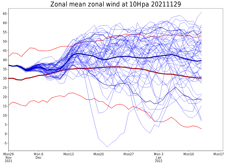
The Canadian guidance is quite ugly in the long range, with the cold air bottled up over the North Pole (likely due to the deepening polar vortex), and no North Atlantic blocking to be found. The European guidance is a little better due to a weaker pacific jet but still little to no North Atlantic blocking in early December. However, the MJO is expected to go into phases 7 and 8 mid December, which if the wave is strong enough could lead to a major pattern change. There are a few near term storm threats, but without North Atlantic blocking there isn’t much room for error and not really anything to stop them from running inland to our north and west, leading to rain in SNE. Hopefully the MJO shakes things up and leads to the development of North Atlantic blocking for late December.
-
A couple of runs from the Ukie supported my forecast. It looked promising for a bit, but it just didn’t pan out. It is late November so I probably should have been more conservative with the amounts despite the setup looking promising.
-
Most winters have no severe blizzards in New England? Where I live there’s usually one or two. The Ukie did have a couple runs where it supported my forecast but no model really had a phase with the southern stream and widespread 12+, it was always a very narrow area.
-
Welp, my forecast for 12-18 with an iso 24 in eastern mass is going to bust. Damn it, the gfs was right, it’s usually horrible but I have to give it credit for this one. The North Atlantic blocking did break down faster than I expected, where I went wrong is I overestimated the North Atlantic blocking. The good news is the MJO is expected to go into phase 7 in a couple of weeks. Even that Dec 5 storm looks interesting on the european guidance. Right now it’s too far west, but it wouldn’t take much to get that low to redevelop off the coast and turn into a Miller B.
-
The models often lose big storms in the mid range and bring them back, I believe that is what’s happening right now. The European guidance has 4-6 in my area, that’s a trend in the right direction. I like where we are at right now, would like to see us keep trending in the right direction from here.
-
I believe the ceiling is a lot higher, if the northern stream digs more and the southern stream ejects faster, the snow totals on the models will increase. It’s not showing it yet but I believe it is close. The pattern does not favor a progressive solution from what I saw. It favors an amplified one. Maybe it will amplify so much it rains, that’s possible. However just yesterday we saw 1 foot+ on the European guidance in some areas. Even Kevin is sticking with his 4-8 call, and he’s a more conservative forecaster than I am.
-
My forecast: eastern mass- 12-18 iso 24 central and western mass: 6-12 i haven’t seen any reason to change it yet.
- 813 replies
-
- 13
-

-

-

-

-
I don’t believe in these weak progressive solutions at all, not with the North Atlantic blocking in place. The low is going to deepen a lot more than expected, and someone is going to get over a foot.

