Mount Joy Snowman
-
Posts
3,802 -
Joined
-
Last visited
Content Type
Profiles
Blogs
Forums
American Weather
Media Demo
Store
Gallery
Everything posted by Mount Joy Snowman
-

Central PA - Winter 2020/2021 Part 2
Mount Joy Snowman replied to MAG5035's topic in Upstate New York/Pennsylvania
All this talk of ice and frozen lakes and whatnot, I just wanted to throw out there that my buddies and I were playing cornhole on the middle of a frozen lake in the Poconos this past weekend. The ice was at least a foot thick with nearly a foot of snow laying on top of it. It was an F'ing awesome experience. -
Central PA - Winter 2020/2021 Part 2
Mount Joy Snowman replied to MAG5035's topic in Upstate New York/Pennsylvania
Didn't they have a bit more sleet down that way? Would also perhaps suggest a wetter snow at times for them being closer to the mix line. We had no sleet until the very end and it only lasted a few minutes and was so light it would not have meaningfully contributed to the total. SLRs can be so tough though, just checked Cocorahs and even within the same counties values can be all over the map. I also don't fully trust that my gauge catches everything frozen, just a hunch that it may slightly undercount in snow events. I did not do a core sample for this event. Haha nope not I. I've always just kept my own records, never reported to anywhere like Cocorahs, NWS Co-op/spotters, etc. Thought about it plenty but never pulled the trigger. I only had 3.5" but I'm like 4 miles SSE of town at a very low spot, whereas I suspect that person is somewhere well north of town more towards the Manheim area. I believe they did a bit better with the totals up that way, they usually do. I take it the Gap report is you? -
Central PA - Winter 2020/2021 Part 2
Mount Joy Snowman replied to MAG5035's topic in Upstate New York/Pennsylvania
I’m right there with you at 14:1, measured .25” liquid off of my 3.5” snow total. -
Central PA - Winter 2020/2021 Part 2
Mount Joy Snowman replied to MAG5035's topic in Upstate New York/Pennsylvania
Seems like you both got nearly an inch more than I did down here in the "valley". -
Central PA - Winter 2020/2021 Part 2
Mount Joy Snowman replied to MAG5035's topic in Upstate New York/Pennsylvania
Snow has let up here, just some very light intermittent sleet falling. Looks like an event total of 3.5". Temp up to 36, roads should be fine later this afternoon. -
Central PA - Winter 2020/2021 Part 2
Mount Joy Snowman replied to MAG5035's topic in Upstate New York/Pennsylvania
where is that? -
Central PA - Winter 2020/2021 Part 2
Mount Joy Snowman replied to MAG5035's topic in Upstate New York/Pennsylvania
Added 1.2" in the last hour, total of 3.0" so far. Heavy snow continues but my temp is up to 34 hmmmmmmm -
Central PA - Winter 2020/2021 Part 2
Mount Joy Snowman replied to MAG5035's topic in Upstate New York/Pennsylvania
10:30am OBS: 32/25 heavy snow continues with vis at or just below 1/4 mile, 1.8" has fallen. -
Central PA - Winter 2020/2021 Part 2
Mount Joy Snowman replied to MAG5035's topic in Upstate New York/Pennsylvania
Heavy snow here. The Amish farm out back has disappeared so visibility must be <1/4 mile. Good times. -
Central PA - Winter 2020/2021 Part 2
Mount Joy Snowman replied to MAG5035's topic in Upstate New York/Pennsylvania
Sitting at 32/21. Very light snow has just commenced here. Should be a fun couple of hours. -
Central PA - Winter 2020/2021 Part 2
Mount Joy Snowman replied to MAG5035's topic in Upstate New York/Pennsylvania
Pocono Pines. Winter Heaven.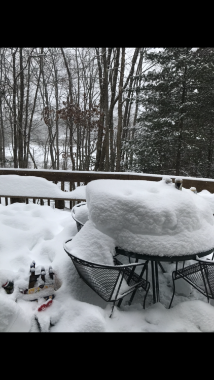
-
Central PA - Winter 2020/2021 Part 2
Mount Joy Snowman replied to MAG5035's topic in Upstate New York/Pennsylvania
It’s saying I cant post a photo from my phone bc its too big? 1.95MB limit or something. Im new to this forum anyone have any advice? -
Central PA - Winter 2020/2021 Part 2
Mount Joy Snowman replied to MAG5035's topic in Upstate New York/Pennsylvania
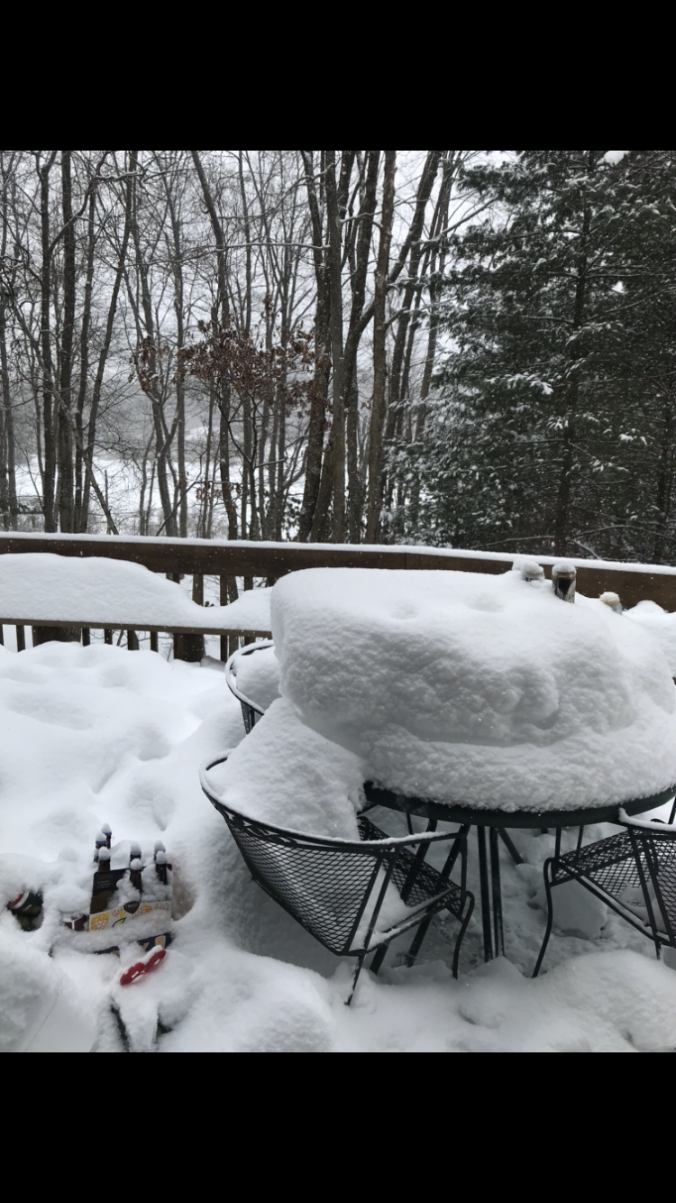
Update from up here in the Poconos at 2,000 ft: It has not stopped snowing for one second since we arrived yesterday afternoon. Hard to say what has fallen but gotta be at least 6” on top of the already wicked snowpack. Lake completely frozen over. Winter wonderland up here. -
Central PA - Winter 2020/2021 Part 2
Mount Joy Snowman replied to MAG5035's topic in Upstate New York/Pennsylvania
Poconos travel update: 222 in Lancaster was fine but in Berks Co it remains untouched. Multiple vehicles off the road. Precip has stopped. Onward. -
Central PA - Winter 2020/2021 Part 2
Mount Joy Snowman replied to MAG5035's topic in Upstate New York/Pennsylvania
Predominantly sleet mixture here at the moment with flakes still mixing in, visibility way up. 1.2" since my last report at 9am, 3.2" total. Heading up towards the Poconos this afternoon, will try and chime in from the road (don't worry, I'm not driving ha). Good luck to all. -
Central PA - Winter 2020/2021 Part 2
Mount Joy Snowman replied to MAG5035's topic in Upstate New York/Pennsylvania
These next couple hours are the business for York/Lanc...... -
Central PA - Winter 2020/2021 Part 2
Mount Joy Snowman replied to MAG5035's topic in Upstate New York/Pennsylvania
9am observation: 24/17 with moderate snow picking up in intensity, visibility approaching 1/4 mile. 2" total with heavier returns on the way, hoping to avoid sleet but know it's inevitable. -
Central PA - Winter 2020/2021 Part 2
Mount Joy Snowman replied to MAG5035's topic in Upstate New York/Pennsylvania
7am update: 23/15 with light to moderate snow falling. .8” accumulation thus far, everything covered. -
Central PA - Winter 2020/2021 Part 2
Mount Joy Snowman replied to MAG5035's topic in Upstate New York/Pennsylvania
Good night gents and good luck to everyone in the morning. Latest from Horst....... (1/2) This is one of those winter systems where just 25 - 50 miles will make a big difference in what accumulates. As I see things this evening, the system is stringing out under a rocking upper-level jet w/ less-than-expected right entrance region support. The result may be... (2/2) ...a slight southward shift, perhaps less icy mix (here in Lanco), and a slight reduction in max snowfall amounts. Need to wait & see where the best (narrow) snow band sets up in the AM...but for now no reason to change my earlier idea of 4-8" (Rt 30 north) and 2-5" south. -
Central PA - Winter 2020/2021 Part 2
Mount Joy Snowman replied to MAG5035's topic in Upstate New York/Pennsylvania
Good stuff, reminds me of the least squares method for determining a line of best fit in statistics. -
Central PA - Winter 2020/2021 Part 2
Mount Joy Snowman replied to MAG5035's topic in Upstate New York/Pennsylvania
This is a great point. So often now a significant portion of the AFDs is just a rundown of the latest model guidance. Don't get me wrong, I still like reading them and enjoy the technical aspects but their deference to modelology is much more noticeable these days. -
Central PA - Winter 2020/2021 Part 2
Mount Joy Snowman replied to MAG5035's topic in Upstate New York/Pennsylvania
It would certainly eliminate some of the back and forth nature of this hobby. The highs and lows come at you quick when you live and die by each model run. -
Central PA - Winter 2020/2021 Part 2
Mount Joy Snowman replied to MAG5035's topic in Upstate New York/Pennsylvania
Truer words have never been spoken. -
Central PA - Winter 2020/2021 Part 2
Mount Joy Snowman replied to MAG5035's topic in Upstate New York/Pennsylvania
Thank you that is what I was trying to post haha, literally staring at the new one on my screen but then when I go to copy and paste the image an older version shows up, who knows... -
Central PA - Winter 2020/2021 Part 2
Mount Joy Snowman replied to MAG5035's topic in Upstate New York/Pennsylvania
Haven't seen this posted yet, updated at 1:35.....looks like a slight reduction in totals if I recall correctly from the previous version.... uuuuuhhhhh for whatever reason when I try to copy the recent one it's pasting the older version from 7:35 last night, not sure why......