SnowenOutThere
-
Posts
3,944 -
Joined
-
Last visited
Content Type
Profiles
Blogs
Forums
American Weather
Media Demo
Store
Gallery
Everything posted by SnowenOutThere
-
You can just delete your old ones to free up space. You click on your name in the top left then my attachments to find it.
-
Pictures?
-
-
Storm loop radar https://weather.cod.edu/satrad/nexrad/index.php?parms=LWX-N0Q-1-200-100-usa-rad
-
Possible interaction with the ocean, leading to more moisture available. Not the most qualified to answer though but that is what I think should enhance it.
-
Long range RGEM time soon
-
Yeah, after the GFS and the CRAS both showed it far before the others. So the lesson is simple, the CRAS is a better model than the EURO. lol
-
My python program which takes in the model data and then weights each model said that I would see around 6.8 inches of snow, I got ~6.8 inches of snow. Guess I will use it in the future.
-
-
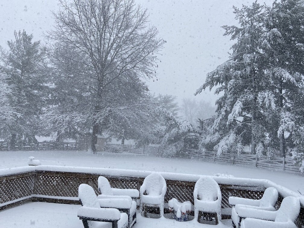
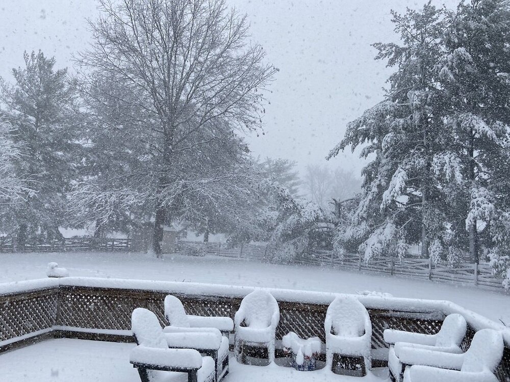
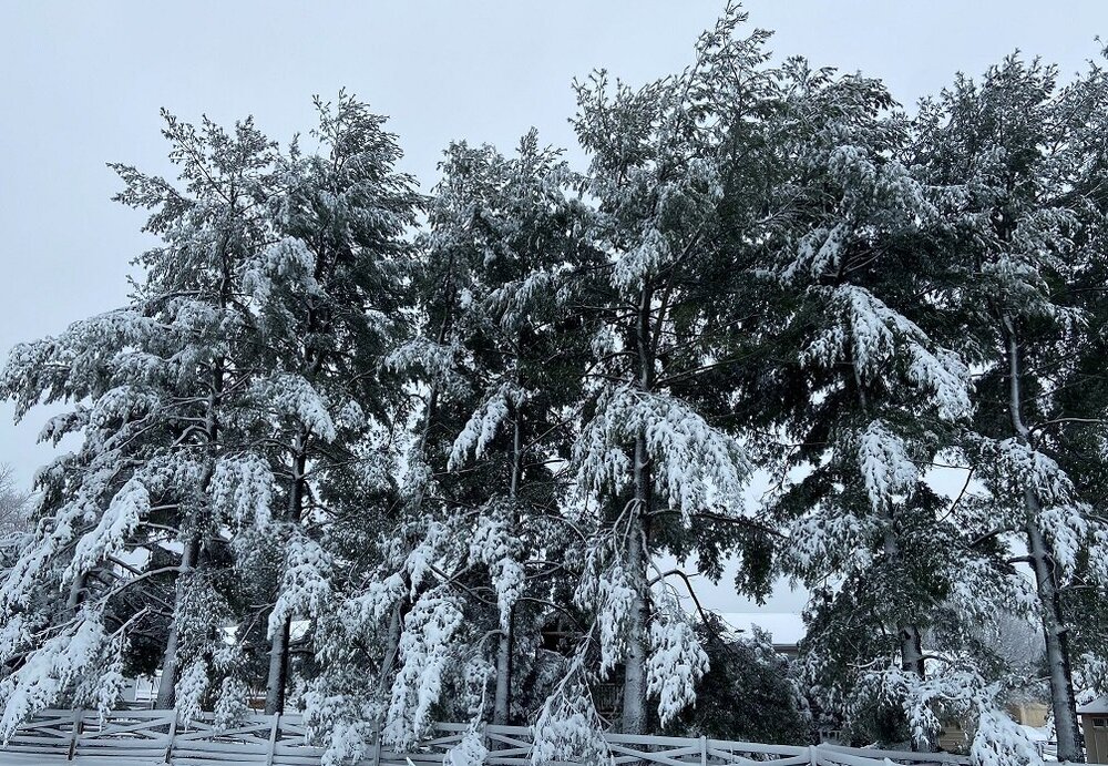
Deck picture, around 7 inches of snow.
-
Bad news it stoped snowing Good News: my forecast barely was right. Said 3-7 got just below 7
-
So close yet so far
-
Flakes have definitely increased in fluffiness
-
In Reston and I am starting to panic about the cutoff.
-
Yeah messed up the hour
-
4 inches of snow measured at 9 10 AM. Which is up from 2 inches at 8 AM. My bad said 9Am not 8
-
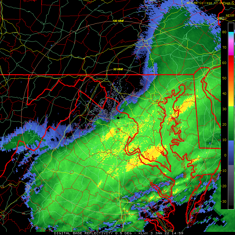
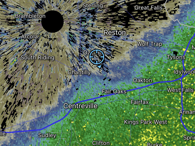
Going to make some observations from the radar. In the large black circled area we can see the heaviest snow returns, the arrows indicate where they appear to be going on the radar. This means that the major metropolitan centers like DC and maybe Baltimore have a good chance of seeing very heavy snowfall maybe around 2-3 inches per hour rates. The more exciting thing is in the hatched black area which shows more heavy bands forming, these are also moving northward. This means that we will most likely have several intense bands IMO, but each one will probably be further east based. Finally the blue circled zone is where the moisture from the southern push has hit the cold air push, notice how tight the gradient is, this means that we will probably see a very tight snow to nothing line instead of a more spread out precip shield. Or the gradient will break down and it is free to explode to the north, I don't know about that one.
-
Dumping snow, 32 degrees around 1.5 inches per hour
-
1 and 5/8 inches up from 1 and 1/8 inches 20 minutes ago. Guess I’m at 1.5 inches per hour. Can’t see to the end of the culdesac which is about 150 feet away.
-
Picked up around 1/4 an inch in 20 minutes so nearing an inch per hour.
-
Just over an inch near Reston, winds starting to pick up
-
Once again for anyone who cares the latest HRRR is far more snowy and north than its old runs.
-
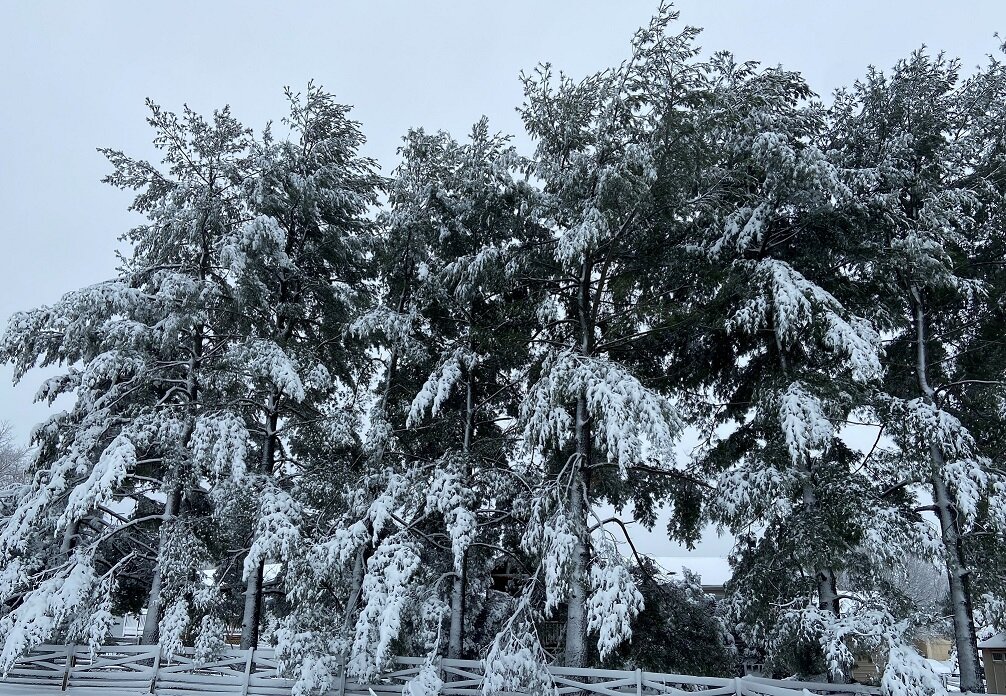
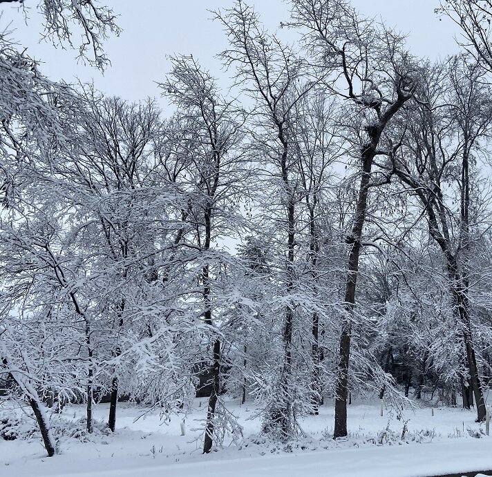
Picture for reference
-
Just got into the extreme northern edge of the deathband, went from light snow to moderate within 8 minutes still need it a bit further north.
-
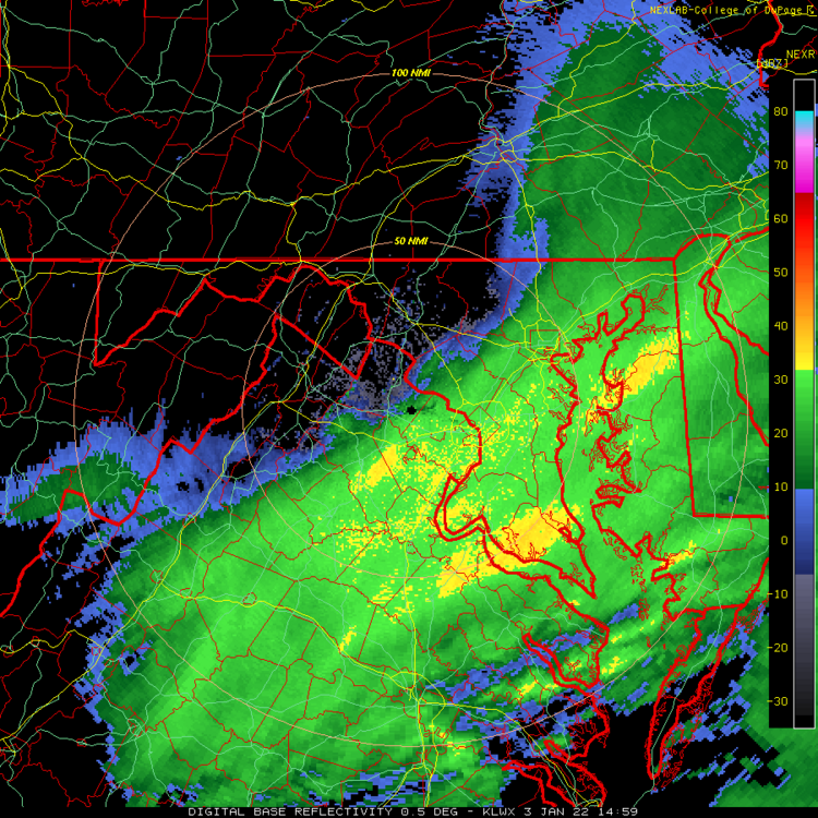
Notice how on the last couple frames near Warrenton the band starts making an almost directly northward push. That will be when the DC area and my backyard get crushed, probably moves in by 8. Push.mp4