Hypothetical 240 hour snow
-
Posts
71 -
Joined
-
Last visited
Content Type
Profiles
Blogs
Forums
American Weather
Media Demo
Store
Gallery
Everything posted by Hypothetical 240 hour snow
-
A very good run, still worried about the UKMET, but the Euro leaves a bit of wiggle room either side, so that is good.
-
CMC is a nice solution, probably best to go to bed on that... really hope the Euro doesn't show a suppressed solution, I will take wacky thermals/dry-slotting etc. over another supression event.
-
I don't hate that solution... it is simple and clean, with little rain to melt the several inches that falls initially due to dry slotting. Any mid-lvl low induced snow showers later in the event would be gravy at that point.
-
I mean, I am such a beggar at that point, I would take that 4-6 inch WAA thump the GFS has and be satisfied.
-
weathermodels.com
-
ICON has a coastal rider (secondary basically travels straight north after the energy transfer)... not a good solution for us (although still likely 3-6 inches), but it is only the ICON.
-
NAM with the stronger CAD signal makes sense... sort of helps with the warm advection thump potential, if that scenario comes to fruition. Unfortunately I am sure the NAM will be the first model to show an aggressive warm nose coming in aloft too.
-
So the gamut of solutions ~90 hours out includes total whiffs, and/or a mostly rain event (with over an inch of QPF)... I wish I could get more excited, but this is FAR from a 2016 setup, it appears. I am rooting for the GFS... just give me a 2-4 inch WAA snow, then maybe another 1-2 inches with the wrap-around showers, the Euro is threading a needle that is more likely to go the JMA/KMA/NAVGEM route.
-
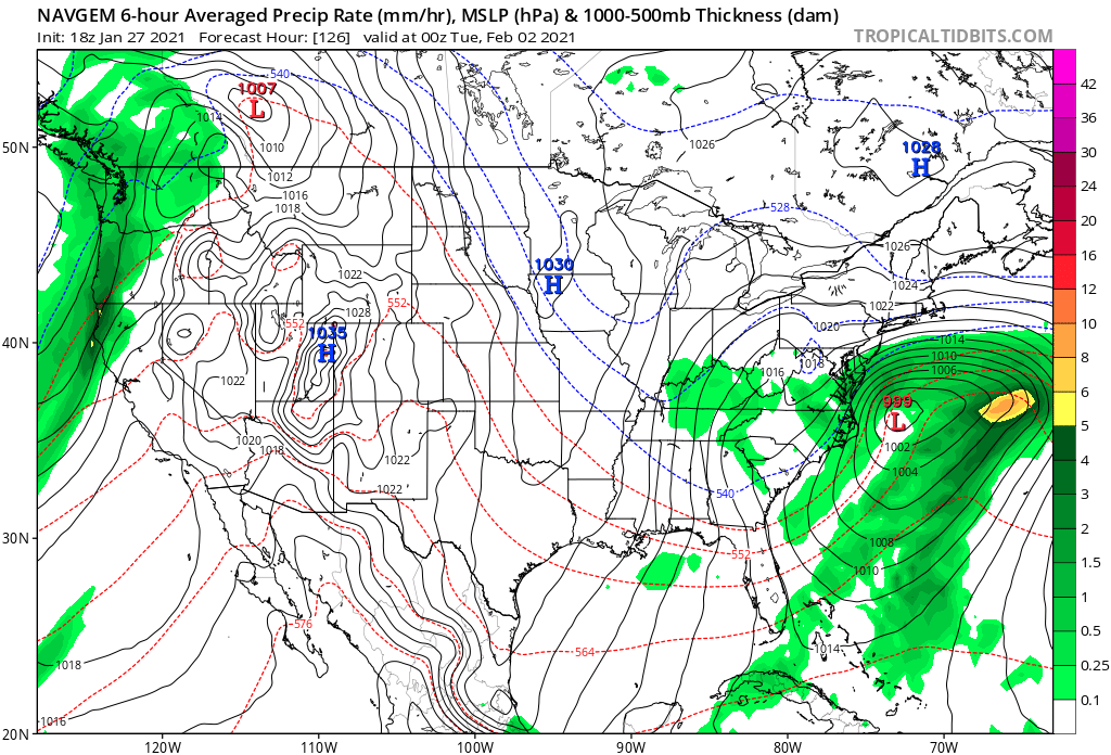
NAVGEM is a miss east..

-
Is the mean low too far east... could we get fringed?
-
Jan. 31-Feb. 2 Miller B storm
Hypothetical 240 hour snow replied to LVblizzard's topic in Philadelphia Region
At ACY your best bet is the initial WAA probably... but there are still some transfer scenarios further south with a slightly later capture that could put you inline for some CCB snow. Note I am personally a bit skeptical of the ULL-driven post backside snows, but that could be another option (although any WAA snow would probably be rained out by that point). -
Para is the real "disaster" (although still advisory lvl snow most places) with the surface low progressing well east, with flow changing NW which opens up the door on downsloping cutting into any ULL snow showers (I am not buying any snow the para is showing after 12-18Z Monday).
-
I mean I guess I will take 3-6 or whatever comes from that mess (provided we dry slot enough when thermals are poor, to not rain on the 2-4 from the initial thump).
-
I am a bit concerned with how consistent the GFS has been in this general solution (at least with the primary)... have to hope its progressive bias is showing here, but it is keeping me from get too excited about the event.
-
GFS remains very progressive... decent WAA thump, but then into the dry slot.