

TheNiño
-
Posts
195 -
Joined
-
Last visited
About TheNiño

Recent Profile Visitors


-
4/2-4/3 Potential Major Severe WX Outbreak
TheNiño replied to Geoboy645's topic in Lakes/Ohio Valley
There was a clear debris signature on that one. Thankfully in a rather unpopulated area. Seems to be cycling now as it heads into more populated areas. Edit: Spotters reporting rain wrapped tor on the ground near Bloomington. -
4/2-4/3 Potential Major Severe WX Outbreak
TheNiño replied to Geoboy645's topic in Lakes/Ohio Valley
That new PDS watch in Central/Southern Illinois is pretty concerning. -
4/2-4/3 Potential Major Severe WX Outbreak
TheNiño replied to Geoboy645's topic in Lakes/Ohio Valley
I agree with everyone else on the north end of this outlook. I’m in an enhanced here in SE WI and I just don’t see it. Hoping for some good boomers but I’m just not seeing this on the north end for svr potential but I’m just some guy larping as a meteorologist what do I know lol. Just not seeing it even in the northern LOT area even though it’s enhanced. -
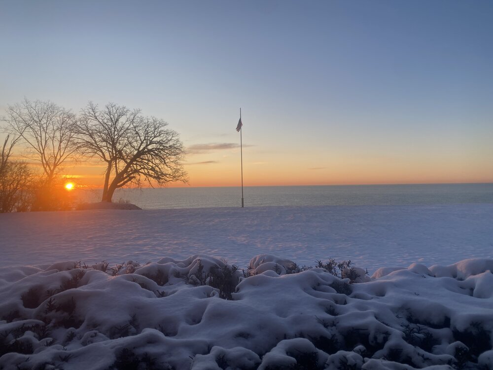
I swear I’ve read this almost every time it has snowed this season. Racine and Kenosha counties have been the bullseye for almost every “event” in the greater area. In an otherwise lackluster snowfall this winter, those two counties cashed in.

-
Mornin’
- 469 replies
-
- 10
-

-
Came here to post the same. Severe thunderstorm warning last night and 2-3in coming tonight. Gotta love it.
-
March 14-15 Severe Weather Outbreak
TheNiño replied to HillsdaleMIWeather's topic in Lakes/Ohio Valley
The warning times have been incredible tonight so far. 40-60min warning times is crazy but they’re doing it. -
March 14-15 Severe Weather Outbreak
TheNiño replied to HillsdaleMIWeather's topic in Lakes/Ohio Valley
I’m under a severe thunderstorm watch at 49 degrees next to the lake. Wild. -
March 14-15 Severe Weather Outbreak
TheNiño replied to HillsdaleMIWeather's topic in Lakes/Ohio Valley
Dare I say the models did a fantastic job with this? Pretty consistent a week out. -
March 14-15 Severe Weather Outbreak
TheNiño replied to HillsdaleMIWeather's topic in Lakes/Ohio Valley
That storm west of Des Moines looks like it’s got some nasty hail. -
March 14-15 Severe Weather Outbreak
TheNiño replied to HillsdaleMIWeather's topic in Lakes/Ohio Valley
I’m giad it’s not but I was expecting this to be a PDS watch.
-
March 14-15 Severe Weather Outbreak
TheNiño replied to HillsdaleMIWeather's topic in Lakes/Ohio Valley

-
March 14-15 Severe Weather Outbreak
TheNiño replied to HillsdaleMIWeather's topic in Lakes/Ohio Valley
Wondering the likelihood of this possibly being classified as a derecho event? I’m unsure of the exact parameters for it to be considered one and I’m a pretty novice forecaster but I haven’t seen that word mentioned much in the discussions. It really seems to have real potential for that though, no? -
March 14-15 Severe Weather Outbreak
TheNiño replied to HillsdaleMIWeather's topic in Lakes/Ohio Valley
I am not a fan of night chasing at all so I’ll be sitting this one out. Storms are going to be moving way too fast. Just hoping for some night lightning and thunder here at home after dark. Even if they don’t exceed severe limits I’ll be happy. But man this does have pretty impressive markings for wind/tornados and I get the temptation. This one just isn’t for me even though it’ll likely be quite an event. -
March 14-15 Severe Weather Outbreak
TheNiño replied to HillsdaleMIWeather's topic in Lakes/Ohio Valley
I’ll happen to be in the STL area for this. I’m keeping an eye on what could be an interesting day.


