Northof78
-
Posts
578 -
Joined
-
Last visited
Content Type
Profiles
Blogs
Forums
American Weather
Media Demo
Store
Gallery
Everything posted by Northof78
-

2/13 Significant/Major Winter Storm Discussion & Observations
Northof78 replied to Northof78's topic in New York City Metro
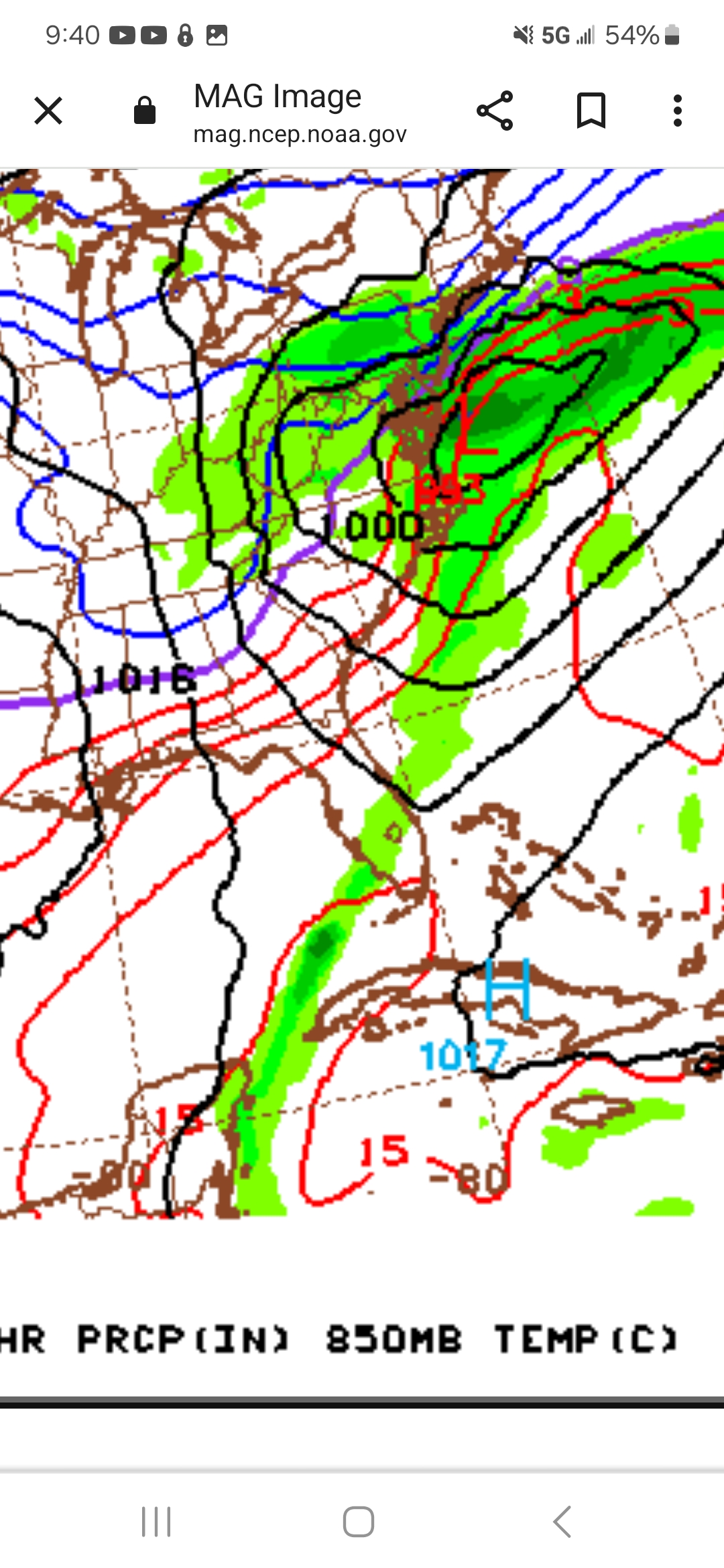
12Z NAM continues way south with suppression more of an issue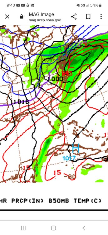
-
2/13 Significant/Major Winter Storm Discussion & Observations
Northof78 replied to Northof78's topic in New York City Metro
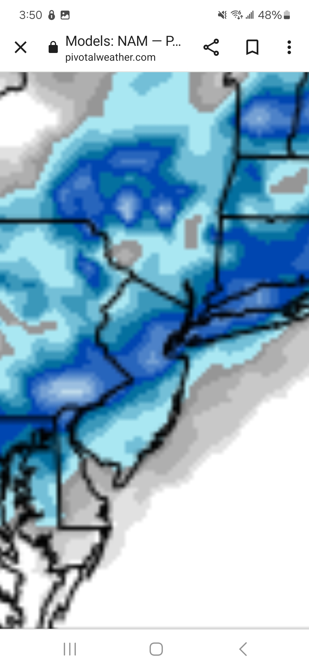
Looks like 3-6" type event for Metro north of Rt.78 or so -
2/13 Significant/Major Winter Storm Discussion & Observations
Northof78 replied to Northof78's topic in New York City Metro
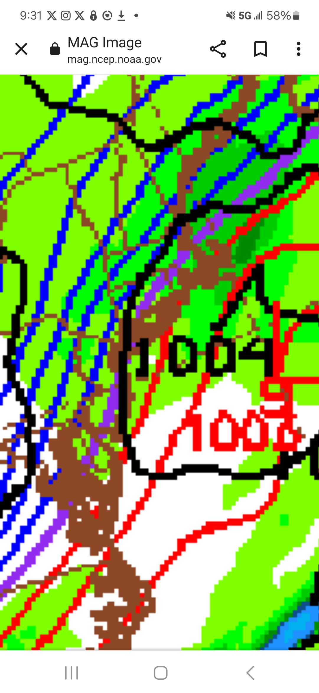
18Z NAM....book it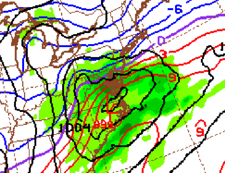
-
2/13 Significant/Major Winter Storm Discussion & Observations
Northof78 replied to Northof78's topic in New York City Metro
Very early to get a sense from the NAM, but looks quite promising at the last frame for a good metro storm, looks roughly in line or a touch south of latest GFS. -
2/13 Significant/Major Winter Storm Discussion & Observations
Northof78 replied to Northof78's topic in New York City Metro
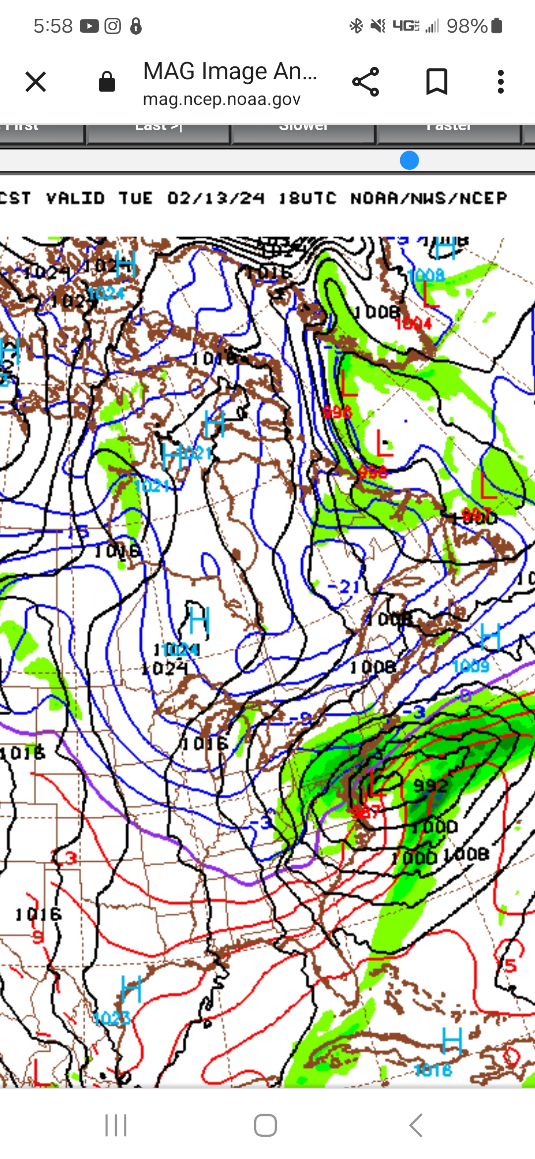
New GFS about as classic as its gets for metro snowstorm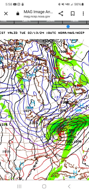
-
Latest EURO, GFS give the NYC Metro advisory or warning level snows, others more mix. But the liklihood of a signficant winter storm is high.
-
GFS pretty widespread 2-3" for almost all in the forum, a little more in coastal C NJ
-
Seems like for the most part the GFS/EURO have been left in the dust with recent storms in terms of being way to supressed/weak. 2-4 days prior to this past storm the fear was light precip and out to sea with little or no coastal, in the end the most snow fell in VT with the metro getting a lot of ice/sleet with tucked in coastal position. Ride the NAM/RGEM/S-T models until they throw you off this winter....
-
Final Prediction: E LI: 1-2" W LI/C NJ Coast: 1-3" NYC/C NJ/NE NJ (inland): 2 - 4" W NJ/ S NY State: 3 - 6"
-
GFS/EURO horrible with this storm compares with NAM/RGEM, GFS basically has a coastal hugger at this point with significant precip...borderline warning storm for just inland
-
Nam verbatim is a decent coastal storm with moderate/borderline warning accums inland, light accums at coast, probably too amped, but that is the trend
-
Looks to be potential for a coating - locally 2" North and very highs winds with arctic front passage tomorrow....
-
I have a flight as well late the 19th, where you heading...
-
90% of the time storms get more amped and N/W from 24/36 and out across the model suite (see last snowstorm), so I think we are in pretty good shape here.
-
Two Mdt to high impact events NYC subforum; wknd Jan 6-7 Incl OBS, and mid week Jan 9-10 (incl OBS). Total water equiv by 00z/11 general 2", possibly 6" includes snow-ice mainly interior. RVR flood potential increases Jan 10 and beyond. Damaging wind.
Northof78 replied to wdrag's topic in New York City Metro
https://www.americanwx.com/bb/topic/59901-january-6th-winter-storm-observations/ Obs thread started -
Two Mdt to high impact events NYC subforum; wknd Jan 6-7 Incl OBS, and mid week Jan 9-10 (incl OBS). Total water equiv by 00z/11 general 2", possibly 6" includes snow-ice mainly interior. RVR flood potential increases Jan 10 and beyond. Damaging wind.
Northof78 replied to wdrag's topic in New York City Metro
EWR 35/13, nice airmass -
Two Mdt to high impact events NYC subforum; wknd Jan 6-7 Incl OBS, and mid week Jan 9-10 (incl OBS). Total water equiv by 00z/11 general 2", possibly 6" includes snow-ice mainly interior. RVR flood potential increases Jan 10 and beyond. Damaging wind.
Northof78 replied to wdrag's topic in New York City Metro
Both GFS/NAM strong signal for front end thump of 2-4/3-6" with no CCB/wraparound which sounds reasonable. Should be a nice storm vs. last 2 years of nothing with some period of moderate/heavy snow.- 3,603 replies
-
- 1
-

-
- snow
- heavy rain
- (and 5 more)
-
Two Mdt to high impact events NYC subforum; wknd Jan 6-7 Incl OBS, and mid week Jan 9-10 (incl OBS). Total water equiv by 00z/11 general 2", possibly 6" includes snow-ice mainly interior. RVR flood potential increases Jan 10 and beyond. Damaging wind.
Northof78 replied to wdrag's topic in New York City Metro
Front end thump with 2-4"/3-6" probably across most of region.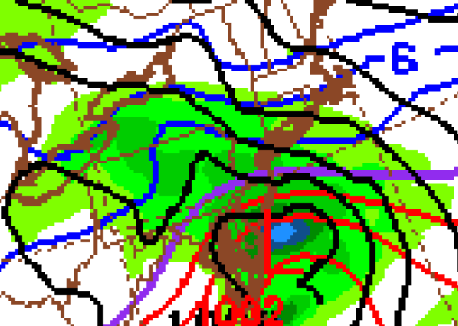
- 3,603 replies
-
- 3
-
-

-
- snow
- heavy rain
- (and 5 more)
-
Two Mdt to high impact events NYC subforum; wknd Jan 6-7 Incl OBS, and mid week Jan 9-10 (incl OBS). Total water equiv by 00z/11 general 2", possibly 6" includes snow-ice mainly interior. RVR flood potential increases Jan 10 and beyond. Damaging wind.
Northof78 replied to wdrag's topic in New York City Metro
-
Two Mdt to high impact events NYC subforum; wknd Jan 6-7 Incl OBS, and mid week Jan 9-10 (incl OBS). Total water equiv by 00z/11 general 2", possibly 6" includes snow-ice mainly interior. RVR flood potential increases Jan 10 and beyond. Damaging wind.
Northof78 replied to wdrag's topic in New York City Metro
NAM 12Z as expected shifted SE/colder and most precip fall as snow w of Hudson with front end thump, 3-6"/4-8" verbatim- 3,603 replies
-
- 1
-
-
- snow
- heavy rain
- (and 5 more)