

Ed, snow and hurricane fan
-
Posts
2,133 -
Joined
-
Last visited
Content Type
Profiles
Blogs
Forums
American Weather
Media Demo
Store
Gallery
Everything posted by Ed, snow and hurricane fan
-
-
You Tube video of a gas station being shredded, IIRC, had something about Cat 5 gusts. Implication was that it was a Cat 5, as that makes it 'sexier'.
-
Before my last class, on IR, very cold tops were forming N of the inland eye immediately N of the Cuban coast. I expect fast intensification once completely feet wet again.
-
Whatever happened to the Florida State University super-ensemble? It looked at individual model family biases over a certain time period, and adjusted the models per apparent bias, and then took a mean. NHC stopped mentioning it. I'm not sure even FSU met students had access to the model... Did FSU drop it?
-
It could be dry air, but I might finally be seeing an actual eye on IR satellite. Looks like the center of cloud motion.
-
I posted the NAM last night, but only because it was the only 0Z dynamic model before my bedtime. I'm at work at 6.
-
Watching Cowan video, 18Z GFS is not making Ian look almost secluded with dry air wrapping well into Florida. it still wraps dry air into Ian, but later and not as dry as 12Z. Dry air would seem to have reduced rain SE of the track and max gusts.
-
WeatherNerds is overloaded. Can anyone post 850 or 925 winds from GFS? Even with frictional slowing of surface winds, if there are storms, those storms should mix down inland. At 66 hours the dry air hasn't reached the TPA area.
-
Cuba only let non-military NOAA planes fly in Cuban air space. I think Hurricane Charley was the first storm the USAFR was allowed to fly their airspace. Probably because timely and accurate warnings are more important than allowing military aircraft from the US in their airspace.
-
PSU local eWall doesn't have Reggie for down here, I assume because we are at the edge of the inner grid for short term high resolution guidance meant mainly for Canada but useful in the Northern US. Cuba is probably outside the grid, hence Ian forecasts from the Reggie may not be that useful.
-
OTWH, Euro ensemble eyeball mean is towards TPA, OTOH it has initialized as a weak system and the ones that head further N towards the shear and dry air are the stronger members
-
Bedtime. The best dynamic model available to me, 12 km NAM, 979 hPa at landfall a smidge S of TPA
-
I checked with NHC site to confirm TT, there is indeed a HH flying the Northeast while there is no plane in Ian.
-
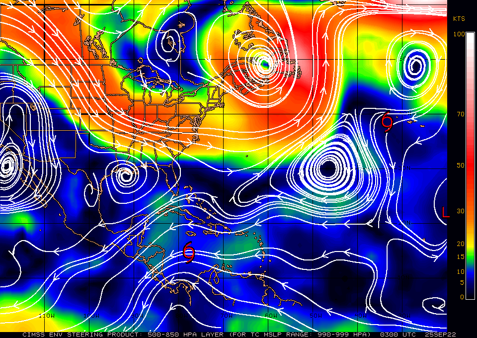
I don't see a major drop if it can landfall before the dry air reaches the core, which isn't a rapid process per Derek Ortt's MS thesis if shear is low. Shear near landfall If near TPA) isn't terrible. Loop TT Euro PWAT and 250 mb wind forecasts.
-
The last front through Houston has washed out, temps will be mid-upper 90s only because DPs in mid 60s. And another dry front passing tonight. The dry air will be in place if Ian tries to get too far North
-
One thing about specialized hurricane models, they are all initialized and bounded by the GFS. HWRF and HMON have a large outer grid, they should have some independence, unless the GFS is somehow poorly initialized. If it is GFS and GFS initialized models against the world, the world is probably correct.
-
-
I wondered last night what happens if Ian doesn't clear CA and never reemerges in the Atlantic Basin. Board reaction would be interesting. Edit- recon is WNW, which was last advisory direction. Pressure is rising though per TT recon.
-
11 pm last night was 50 to 80 knots in 24 hours. Halfway through that 12 hours.
-
Hmmm.
-
NHC is almost a full degree latitude off between last forecast current position and where recon is finding it. Not shown by models, but it could hit Central America and *never* reemerge in the Atlantic Basin the way it is looking. Assuming it is strong enough to feel the trough, Eastern Louisiana to the Panhandle seems more likely as it is already S of the NHC initial position.
-
The center is still a mess and may reform, I'm still open anywhere MOB to TPA until the definite center is, well, definite.
-
"Center" looks just a smidge S of NHC's 14.7N
-
The last local hurricane decades ago, while large, was never more than a Cat 2 in the Gulf, and produced a significant surge. Weakening from 115 kt to 80 kt just before landfall, with NHC suggesting a large circulation, into a concave shaped coastline, would, to me, suggest a big surge. If it plays out by NHC forecast. I guess it could be a 70 knot hurricane this time tomorrow. But 45 knots now looks generous based on satellite and recon. CIMSS ADT suggests higher than eyeballing IR and recon, so I could be wrong.
-
Just back from the Battle for the Bayou Bucket, and I expected more from the IR satellite, honestly.


