

Intensewind002
-
Posts
915 -
Joined
-
Last visited
Content Type
Profiles
Blogs
Forums
American Weather
Media Demo
Store
Gallery
Everything posted by Intensewind002
-
I guess the sea breeze has moved in a little because temp dropped to about 90 here from a high of 94
-
Looks like the front has passed montauk now
-
94/69 here, HI up to 99
-
Up to 92 here in lindenhurst
-
Officially hit 90 for the first time this year imby
-
Who else is ready to see maybe 1 meteor because the light pollution is horrible around here
-
Pretty tame storm, maybe a gust to 25 mph with a few rumbles of thunder
-
 20/7/4
 -
I probably won’t see any storms today, but I did get this nice shot of the sunset and horrible gas prices

-
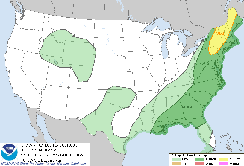
Marginal Risk up for the whole area today, with Slight towards the NW
-
Peaked at 89/73 here, down to 80/68 now in only an hour
-
88/72 now, heat index up to 96
-
Pretty big temperature bust here on the south shore, it’s currently 86 with a dewpoint of 70
-
68 for my station back home on long island, meanwhile up to 77 here in Albany
-
My station only read 64 for high today back home, it was 76 here in albany. Strong flow off the ocean I guess?
-
I’d give this winter a B at home mostly because I got 22” of snow in the blizzard and an D- here in albany because the sleet storm was interesting. I’m honestly sick of the cold though after walking to class every day for a month on this frigid windy ass campus
-
Yeah that’s the one, I wasn’t even paying attention that day since the severe threat was only marginal. I had my headphones on listening to music and suddenly the lights started flickering and the dog ran in my room freaking out. Then I look at side and rain is going sideways with hurricane force wind gusts
-
Do you remember that snow squall we had in February 2019 I think? Was a pure white out for maybe 15 minutes, probably the only true snow squall we’ve had in the past decade
-
My parents recently removed th3 elm tree in our yard last fall, kinda unfortunate since I liked that tree. It managed to survive Sandy and Isaias despite losing some large branches, but it was honestly getting way to big for the yard, the roots started burrowing into the foundation of the home, and with all the high wind events that we get now, it probably would have fallen at some point. Interestingly enough when I was visiting during winter break I noticed that a sapling sprouted from the stump so it’s not exactly dead surprisingly
-
My grandmother lost two trees she’s had in the yard since before my grandparents adopted my mom, one in Sandy in the backyard and another in August 2019 in a severe tstorm. They were huge oak trees as well, miraculously both trees missed the house by inches (the second one took out the gutter though)
-
Oh that’s unfortunate, my parents house in Lindenhurst is all good from what I heard. I’m 15 years older than my sister and from I’ve heard she didnt any school delays due to any power issues in the neighborhood
-
It seems widespread gusts to 60 doesnt really have much of an impact anymore for the island, now it’s more like widespread 70+ to really get widespread power outages like in isaias or sandy
-
Winds gust to 38 mph with visibility of 0.25 back home, not often you see something like that and it isn’t snow
-
I wonder if there is a compilation somewhere on the internet of all the events with 60+ gusts in the region over the past few decades, if there is there definitely has to be an upward tick in frequency in the past 10 years
-
They’ve become the norm dating back to March 2010, I think we got one at least once a year now


