Intensewind002
-
Posts
906 -
Joined
-
Last visited
Content Type
Profiles
Blogs
Forums
American Weather
Media Demo
Store
Gallery
Everything posted by Intensewind002
-
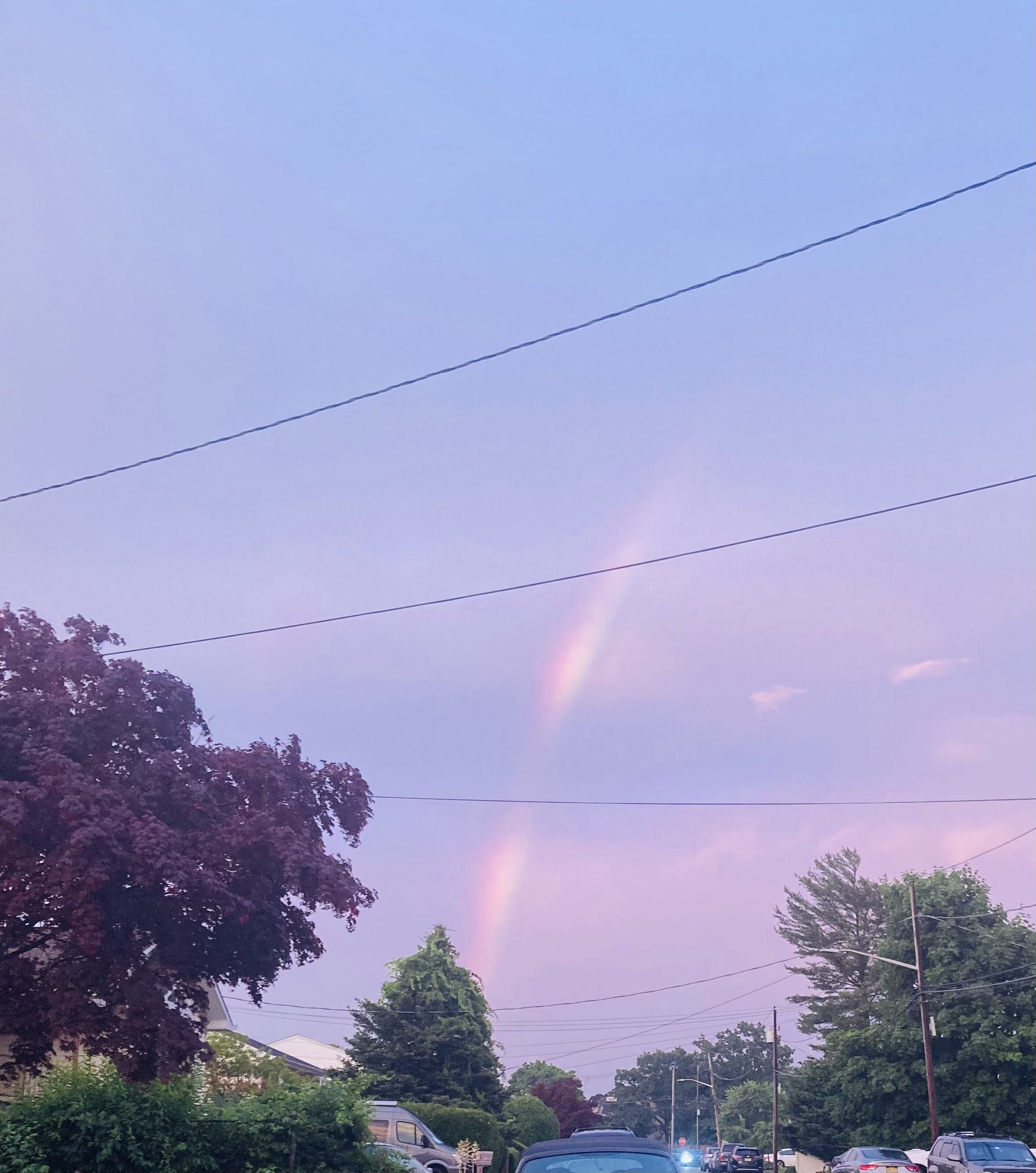
Saw a rainbow just now, this pic is from when it was already fading too. It was originally a complete arc across the sky

-
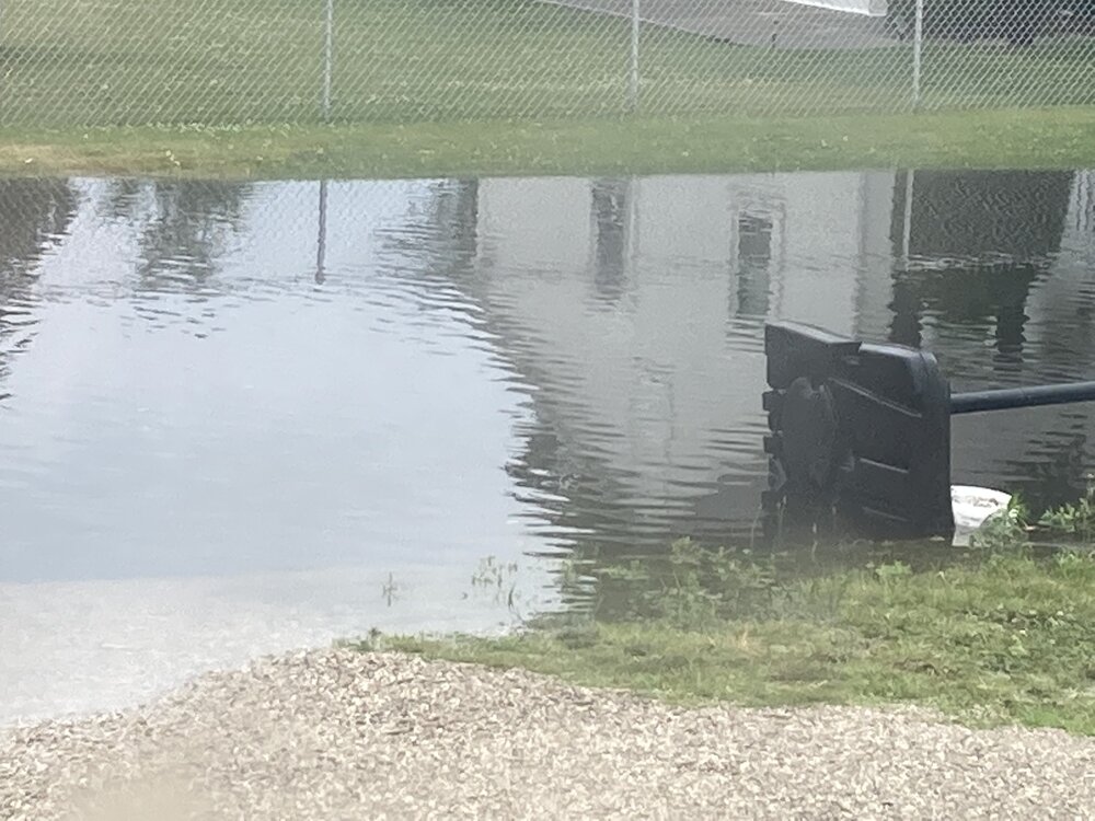
Picked up 1.18” of rain here so far today, with some minor flooding around town too
-
Currently 86/67 here
-
Up to .52” of rain now, High was only 63. I wonder if any record low maxes were broken today?
-
Pick up 0.29” of rain between today and late last night
-
Cloud cover here is preventing it from getting too cool I guess, still 62 imby
-
82/73 here, its pretty nasty out
-
Picked up about 0.9” of rain from the storms this morning
-
Marginal risk for severe was expanded in the nyc area for tonight
-
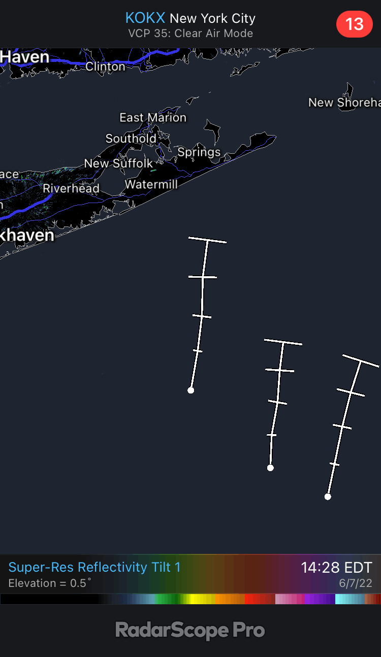
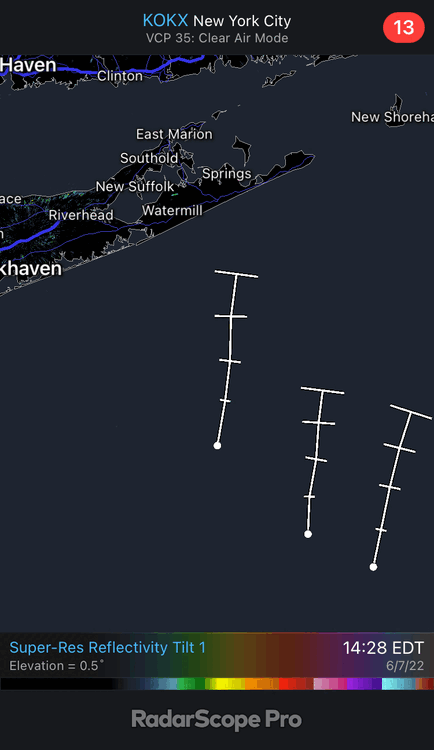
What’s up with this weird shower formation off shore? Radar glitch or something?
-
Picked up another 0.61” of rain from this storm so 2 day total is now at 1.66”
-
Storm over the sound/nassau looks like it’s falling apart as is tradition
-
Looks like the rain is over for now, picked up 1.05” of rain here
-
Some pretty good lightning strikes and maybe some gusts to 30 mph with the storm passing through
-
Down to 63 here now from a high of 94
-
69/60 now, dropped from 83 at 7:30
-
I guess the sea breeze has moved in a little because temp dropped to about 90 here from a high of 94
-
Looks like the front has passed montauk now
-
94/69 here, HI up to 99
-
Up to 92 here in lindenhurst
-
Officially hit 90 for the first time this year imby
-
Who else is ready to see maybe 1 meteor because the light pollution is horrible around here
-
Pretty tame storm, maybe a gust to 25 mph with a few rumbles of thunder
-
 20/7/4
 -
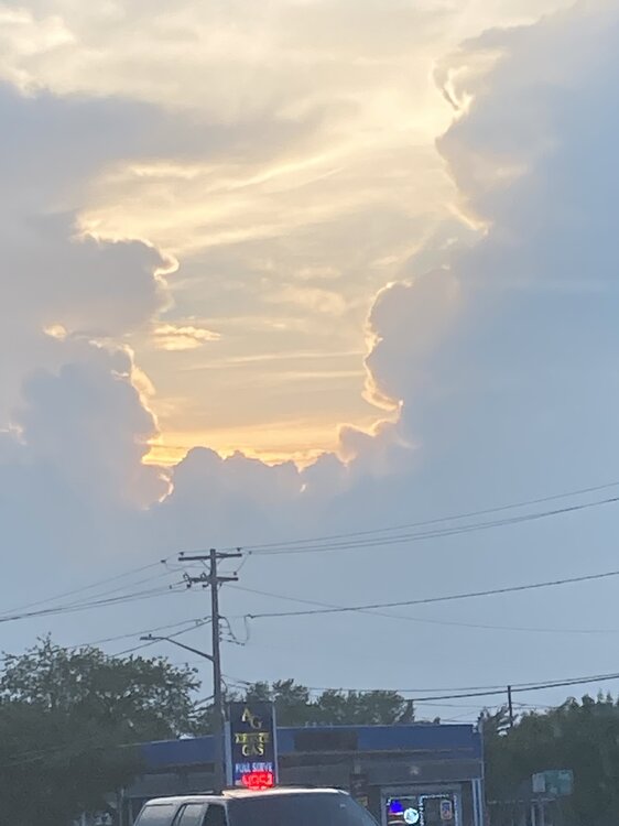
I probably won’t see any storms today, but I did get this nice shot of the sunset and horrible gas prices