MN Transplant
-
Posts
17,027 -
Joined
-
Last visited
Content Type
Profiles
Blogs
Forums
American Weather
Media Demo
Store
Gallery
Everything posted by MN Transplant
-
0.01" at DCA puts us at 0.12" for the month. Eat dust (literally) 2005!
-
He is just shellshocked at this point. Even in the rare cases when he does have time he looks uncomfortable with the ball. Putting a pocket passer behind a wet paper bag of an OL was not a good idea. That said, Washington saw today why Case wasn’t the answer either.
-
Yeah, 2010 and 1980 are tied
-
Another 90 at DCA. Could get to 63 if we do it Wednesday/Thursday. 3rd most on record.
-
Still sitting at 0.11" at DCA, which would tie the driest September on record if we hold through tomorrow. I forgot to enter my CoCoRaHs reports this whole week. Haven't even had a trace is >2 weeks.
-
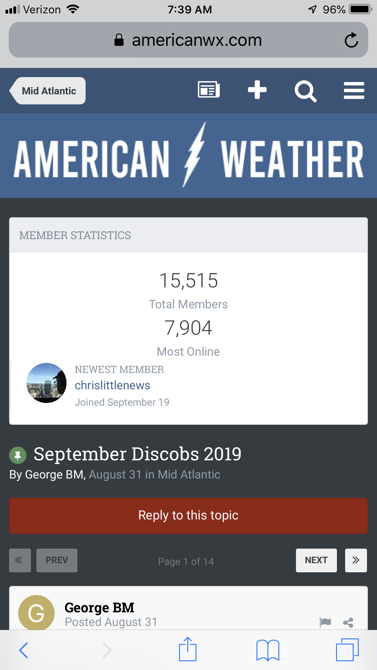
Site Performance/Scrolling Issues
MN Transplant replied to Kmlwx's topic in Forum Information & Help
The new style looks sharp. No complaints there. I do have a comment on mobile use. I don’t know if this has changed from last time, and I don’t know if it is customizable, but when you go to an individual thread, there is an incredible amount of space taken up by incidental information. I have to scroll to even see any posts. Seems like the member statistics could be put at the bottom.
-
BWI: 11/6 DCA: 11/6 IAD: 10/27 RIC: 11/6 Tiebreaker: 8.67"
-
Looks good on mobile.
-
Under an inch for the past 30 day period. I preferred 2018.
-
2005 had 0.11" for the month, so the best we can do is a tie.
-
Yup Perfect out this morning. Then I looked at the Euro and got sad.
-
The only good aspect of this is that the area SW of Beaumont that looks like it got hit the heaviest is fairly rural. I-10 in that area must be closed since there is no traffic reported on Google Maps.
-
Negative 850s get here on the 06z GFS.
-
Yeah, that's not great. Makes DCA's ASOS placement look positively rural.
-
I don't like new, calm mattie. Record high at DCA. At least 97.
-
93.7 at home. At least 94 so far at DCA. Awful
-
I'm pretty sure I saw this satellite image in "the day after tomorrow"
-
Racked up 0.05" here
-
Blew it at DCA
-
Oh good, we topped a record today at DCA. 96. The prior record (95) was tied way back in 2018. Another big FU from Summer on the way out.
-
0.11” here but it has been rumbling in the distance for an hour.
-
Low of 59. Glorious.
-
Yes, it was awesome.
-
The problem with this kind of storm setup is that there is a lot of heat/moisture to fuel the storms, but the triggers are very subtle. Unlike a squall line or supercell where movement can be counted on, these cell just kind of ooze around and then die out. So, putting up a warning box is especially tough. The storm last night looked really healthy, and 30 min late it was remnant clouds. Nature of the beast. Not to mention, the areas that get hit by severe conditions are almost always very small.
-
Triple point boundary collision right at the bend of 495 in Annandale. See if anything comes of it. Great Falls getting hit. Again.