greenmtnwx
-
Posts
570 -
Joined
-
Last visited
About greenmtnwx

-
This ski season has been just fine for just about all the east. It’s been plenty cold with some events but great weather for snowmaking. Add in the lack of warm cutters and it’s been an excellent few months. Trust me, I know, I ski a lot and follow the weather very closely at the New England resorts. I also know people who work in the industry there and this has been a very respectable season. The one thing that has hurt the ski resorts in recent years is that the holiday weeks have seemed to coincide with some of the worst weather. Christmas week hasn’t been good really for a number of years and that hurts the ski vibe some. The other thing as somebody pointed out is the youth sports season. Spring sports seem to start earlier and earlier, and kids are focusing on training and indoor sports sessions more and more. These “high-level” travel leagues are demanding more and more of kids. Even the kids who aren’t very good are playing in demanding travel leagues at a lower level versus rec sports. Add in the parents that have FOMO and it’s taken a lot of families out of the ski game for fear of missing that weekend training session I myself missed a bunch of good ski weekends in the last number of years because daughter had a club soccer tournament or a training session and we can’t miss that lol. however, I will say this. You frequently hear a lot of talk about skiing being dead, trust me, it’s alive and well.
-
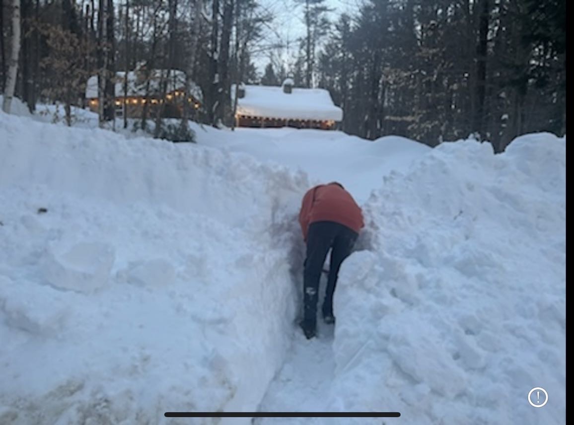
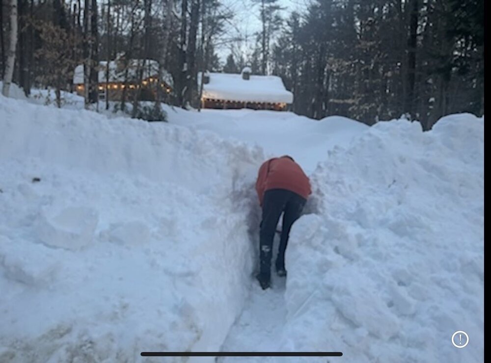
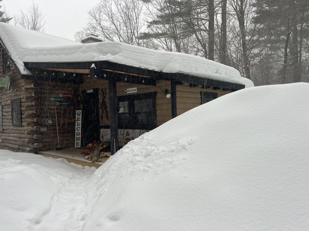
House sits at 1,752’ to be precise
-
My place is West Wardsboro between Stratton and Mount Snow.
-
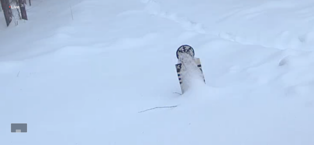
Close to 30” pack here.
-
-
I wonder if there might be a secondary surface reflection closer to coast once the upper level low swings through
-
This looks like the last good shot too. Cold is breaking down, most likely wet in the coastal plain from here on out.
-
Always next year buddy
-
Stop yourself buddy. You know probably 8 in 10 chance we get little to no snow.
-
DC is actually having the perfect winter. Some real nice snowstorms, some deep winter cold, some thaws here and there, and then they’ll be 75 with cherry blossoms in another month while we are 36 and fog.
-
The setup we wanted was a few weeks ago. We just got unlucky. We had the deep cold and just missed a couple storms turning corner. That pattern usually works out. Not this one.
-
I think this could be an overperformer in the southern VT mountains. we had a decent bit of snow earlier today at Stratton that went over to a little bit of sleet and fat flakes. But right now it’s really coming down and by the looks of some of the models I wouldn’t be surprised to see areas around here like boulder Pass at Mount Snow or the Stratton area or Woodford put up 6-8 inches tonight. currently at the cabin in West Wardsboro probably snowing close to inch an hour. Radar looks good.
-
Honestly, this is sort of a ridiculous statement. For all we know, we might have above average snowfall for the season two weeks from now. It’s mid January. You have no idea, neither do I, and living in the coastal plain all it takes is a couple of storms, even a storm in March to achieve seasonal average snowfall.