

Modfan2
-
Posts
3,482 -
Joined
-
Last visited
Content Type
Profiles
Blogs
Forums
American Weather
Media Demo
Store
Gallery
Everything posted by Modfan2
-
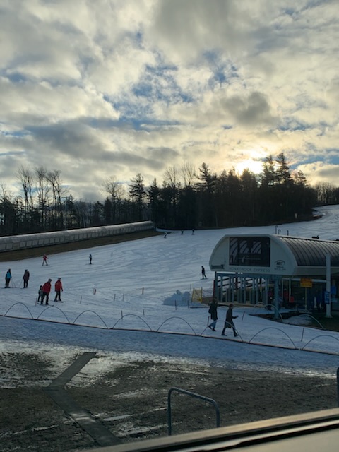
Happy New Year folks!!! Still snow here at Wachusett, hopefully they can make it til next weekend.
-
41 some light rain and mud!
-
Torch here at 62
-
Was considering Wachusett this Sat but not sure if conditions will warrant a trip
-
Yup, wife passed a couple of accidents on 395 In Killingly area, once she got to Thompson into Mass the roads were dry. Valley fog.
-
Don’t get the panic on Dec 28th; I recall more warm New Years in my 50 years than cold ones so to me this is normal thaw so to speak. If we are having this conversation the third week of February the. Cause for concern.
-
Hoping something by the 12th, friends in from FL chasing snow, and surprise no snow lol!
-
Merry Christmas everyone! 12/-2 to start.
-
 But a lattice tower like that should have had guide wires. Plenty equipment I worked on FL were on similar towers; only one I saw over was from Hurricane Michael.
 -
Looks like some spoty snow showers down by Achusnet; off Buzzard Bay?
-
8/-8 here to start.
-
Possible. Lift off the Quabbin?
-
Quabbin affect snow?
-
Isn’t that what this thread was about? Lol
-
Blow drying has commenced before flash freeze; believe I am too far south for any precip.
-
Some decent wind, similar to this am as that line went through here; still windy
-
Any wind, it’s about to hit me
-
Weird to see cold air push come from the SW
-
Wondering if this batch of precip stabilizes E CT before front? Pretty windy and wet now
-
Looks like solid line from E RI into SE Mass
-
What is the timing on the CF; I believe I can see it on radar exiting the NJ coast
-
Well over an inch of rain here, and plenty windy.
-
57 and about 1.16 of rain so far; winds screaming in the night!
-
Rain, 40/37.
-
Cmon, we don’t even have a high wind warning; if you gust to 50 you’ll be lucky. Your only hope is some convection to mix some down. I am just hoping for breezy conditions and rain and be done with it!

