

Modfan2
-
Posts
3,482 -
Joined
-
Last visited
Content Type
Profiles
Blogs
Forums
American Weather
Media Demo
Store
Gallery
Everything posted by Modfan2
-
 35F and rain in the tropics of E CT
 -
Would like that to pan out but expecting maybe 2” of snow.
-
Early beer?
-
I mean I’ll take a 4” shot with a chance at a lolli to 6 the way this season has gone.
-
Even us in the in the Mid Atlantic portion of SNE?
-
Dusting over night, 31F
-
Mood snow has ended here in E CT
-
Snowing here in Brooklyn CT, temp 35
-
What are flakes? Asking for a friend? Lol
-
I know I was in FL for a bit but when does mud season end and Ice Fishing season start???
-
Nice drink, .45 and 35F Good times!
-
Been hearing that since Nov! Lol
-
Light rain and 40F in Brooklyn CT, shocker!
-
Maybe of rain, lol!
-
Seeing I can’t post videos for some reason, I am getting the Gary Allen Songs About the Rain vibe coming up! Lol
-
Lock it! Lol
-
Waiting for the Car wash thread to start.
-
Does that band on the Maine coast strengthen at all as it pin wheels down?
-
Just a pounding pingers, some snow mixed in down to 29 now
-
Pingers here in Brooklyn CT and 30
-
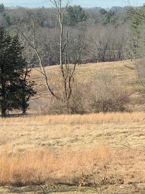
500 yds east of Country View, or overlooking fairway for 2nd hole of the old golf course.
-
A little perspective, 30 here at the house in CT and my daughter just west of Ft Myers has 32 this am and frost.
-
Some Flurries over night, not much else….On to spring
-
Snowing here lightly in Brooklyn
-
Just a little south for me; enjoy


