Baltimorewx
-
Posts
2,227 -
Joined
-
Last visited
Content Type
Profiles
Blogs
Forums
American Weather
Media Demo
Store
Gallery
Everything posted by Baltimorewx
-
Wow the GFS is really dry lol. Barely any precip thru 6z
-
And somehow most of us will likely only manage a few pity flakes from all 3
-
Tried to tell people the snow aspect of this one is a bit overblown by a couple of the models...this set up screams decent ice storm for usual spots and just a glaze with 32 and rain for the cities
-
Might as well drink their beer lol or at least one named after them anyway
-
Doubt anyone gets much snow anyway from this one, I think the euro is out to lunch on its snow vs/sleet and freezing rain depictions. If anyone thinks DC is getting 3” from this thing well, you’re gullible to the model
-
I’m heading to Key Brewing tomorrow for the first game. They have their Siberian summer Russian imperial stout on tap
-
January Storm Term Threat Discussions (Day 3 - Day 7)
Baltimorewx replied to WxUSAF's topic in Mid Atlantic
It’s because of wonky ass surface temps -
January Storm Term Threat Discussions (Day 3 - Day 7)
Baltimorewx replied to WxUSAF's topic in Mid Atlantic
Fairly similar run to 12z lol. We still manage to have sucky surface temps. Some snow but some rain too haha -
January Storm Term Threat Discussions (Day 3 - Day 7)
Baltimorewx replied to WxUSAF's topic in Mid Atlantic
Looks like GFS is still gonna play ball, we’ll have to see what thermals are like -
Definitely measly on the precip north of DC though. Drying trend continues
-
GFS keeps the theme of this being mostly an ice situation. My bar with this is a couple sleet pellets and a glaze of ice on tree branches over here by the bay lol
-
I don’t see much snow happening with this one period. Looks more like a sleet/freezing rain scenario with the WAA precip to me...
-
Yeah personally I see the snow totals going down and maybe a tick up in the ice for the usual spots
-
Now that it’s coming in range I think 3K NAM is the way to go with this one...I just don’t see the onset being snow with the timing mid afternoon and the low that far west. 3K starts as sleet/ice for cities then goes to rain after a few hours. Definitely could be a fairly significant ice situation for the usual spots with this one though but I just don’t buy the couple inches of snow that some modeling has spit out with this one
-
January Storm Term Threat Discussions (Day 3 - Day 7)
Baltimorewx replied to WxUSAF's topic in Mid Atlantic
Global warming FTW. We can’t even get a great snow with a bombing coastal low and perfect track lol -
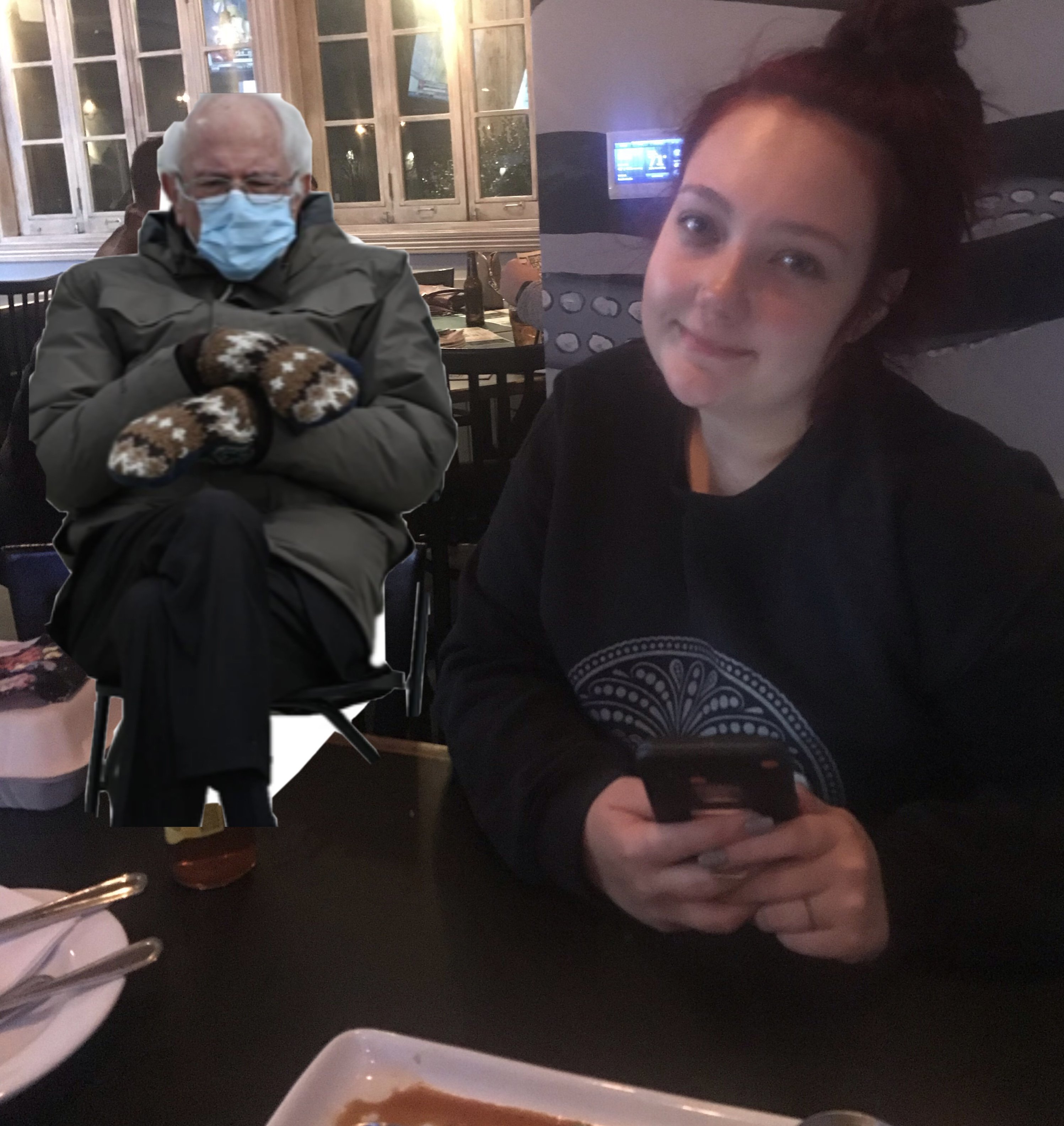
Baltimore city restaurants opened back up today so we had to support Jimmys seafood...look who also showed up!!!

-
Yeah I guess im looking at it from more of a metros/I95 point of view...you guys could get a good ice storm if it goes GFS way
-
its borderline south of I70...temps flirt between 30-33 the whole time...so yeah probably ice verbaitm but widespread ice? eh...Looks like ice from I70 to PA line to me and then mostly snow north of Gettysburg to york
-
The low ends up tracking over Pittsburgh so obviously thats not good for snow
-
You both are correct...the track isnt better but the heights out in front are lower so its a little colder and therefore more winter precip at least initially but we arent talking snow for the cities so whatebs
-
GFS is a little colder initially with the lower heights but the track still isnt any better. If amything a tick nw
-
January Storm Term Threat Discussions (Day 3 - Day 7)
Baltimorewx replied to WxUSAF's topic in Mid Atlantic
Hard to say if 18z ICON is any better than 12z....its slower. And for us, verbatim lower heights at 120 but the slower motion could offset that. -
January Storm Term Threat Discussions (Day 3 - Day 7)
Baltimorewx replied to WxUSAF's topic in Mid Atlantic
Right lol...nice to know we could either be in the 60s with our flops on or in the 20s with snow shovels... -
Would be a lot of snow in my household...
-
I wouldnt wanna go thru life with that name...thats all I know