NorthHillsWx
-
Posts
3,966 -
Joined
-
Last visited
Content Type
Profiles
Blogs
Forums
American Weather
Media Demo
Store
Gallery
Everything posted by NorthHillsWx
-
EURO and EPS folding to GFS and it’s ensembles for the 138th time this winter
-
Never, ever, ever doubt a warm nose on the NAM. It may not be correct this time, but that model was made for sniffing them out
-
Pretty liberal use of the term “crush job”
-
Raleigh’s point forecasts until day of are about as useful as a bag of bricks in a lifeboat in terms of timing and specifics
-
One thing about this storm is wet bulb will not help. Dew points going in are too high. It will be purely a dynamic cooling situation. Without rates, you will not approach freezing, and snow will not stick. I think the northern piedmont and triad is in the game to see snow fall but I seriously doubt if anyone gets more than a dusting in this set up. No antecedent cold air, little evaporative cooling, warm nose quickly moves in. Not being a downer but that’s just how I see it
-
Pretty much draw a line from dry fork to hickory north and west is where I’d expect accumulation. Rate driven snows that can add up but won’t be a large area of heavy accumulation. I’d say a C-2” for that area with some pockets of 3-4.” NAM sleet profiles should have everyone’s attention as well. The upstate relies on a quick hitting front end thump and those are notoriously hard to predict. BL temps are not your friend nor is frozen event duration.
-
You’re in the sweet spot. Jealous.
-
Poor Heels... as a Clemson alum and having won 3 of the last 4 over them, I think we can declare ourselves a better basketball school
-
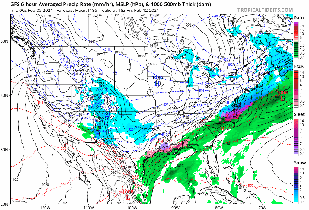
They aren’t even borderline rains either. GFS has us (Raleigh) near 70 on Friday. In fact, it fails to ever break containment over the mountains with the arctic air. In one frame, it’s below 0 through West Virginia and above freezing in central NC. I’m siding with terrible model
-
Good thing it’s on an island.
-
Absolutely no run to run variability on the gfs op. Nothing to see here, move along

-
Yesterday at 12z the euro had snow in savannah and today it had ice through North Carolina. Yes it trended better for a winter storm this run but it and it’s ensembles all trended faster and much more northwest and warmer. Would not take much to catch up to the GFS. It’s so early in the game it’s not panic time but another day of this is going to drive up my anxiety
-
Through 18z today there is no way to sugarcoat the trends from either the ops or the ensembles: they were not in our favor
-
If we rain and then get that kinda afterwards it’s going to be a kick in the groin
-
End result of this GFS run is almost identical to the storm that just hit the MA and NE. Almost exact same footprint. Warning signals are going off
-
I remember the frustration. It didn’t switch over until well past dark. It was a weird storm too, temps well into the 20’s and sleeting for hours. It was almost a powdery sleet, if there was such a thing
-
I was living in Greenville at the time for this storm. A lot more sleet than forecast and the changeover took forever but it was a great storm regardless. That was an awesome winter. I think we had 3-4 good events and it was COLD! Snowed in March too that year
-
Good luck western/Virginian folks! Hope you guys cash in. Seems to be trending positively for you all today
-
I was in NE Georgia in Cumming for an ice storm 5-6 years ago and it didn’t get above freezing for two days afterward. I was working for Sawnee EMC at the time and we kept having trees falling in lines we’d just re-hung as the ice wasn’t melting. Trees probably fell for 48 hours straight. Some places up there were in the dark for 10 days. It was bad
-
Long duration overrunning events are my favorite tbh
-
Would be absurd to get a gigantic ice storm then cover everything in deep snow before we go into the freezer for a few days
-
Might have to add this to the archives of most ridiculous freezing rain maps I’ve ever seen. That’s lights out for 90% of the Carolinas
-
Map is too low for NE NC. I was there 2 days after the storm and there was still more than 4 inches easy in the shade after 2 days of melting and compacting
-
Honestly it can’t jinx me bc I’m out of it but someone should start a thread for this weekends storm since so much talk will be focused around next week’s threats. Statements like “Euro coming in more amped” are getting lost in translation as to which threat we’re referring to
-
EURO is a SW VA/foothills/mountains special Should clarify- for this weekend’s system