

NorthHillsWx
-
Posts
5,512 -
Joined
-
Last visited
Content Type
Profiles
Blogs
Forums
American Weather
Media Demo
Store
Gallery
Posts posted by NorthHillsWx
-
-
48 minutes ago, CAD_Wedge_NC said:
Not true.... pattern looks to re-load 2nd week of Jan.
Yea, just need to burn through 3 weeks of winter to get there
-
 3
3
-
-
Long range is… depressing
-
 3
3
-
-
We cracked single digits. 9.6 and still falling
-
I think there will be widespread single digits tonight. We’re down below 23 and falling steadily. Absolutely wild weather day
-
1
-
-
While I will say it seems likely we end up with a below-well below normal temp for December, our inability to capitalize on otherwise promising patterns has rendered long range forecasts and teleconnections almost useless to me for trying to predict winter weather. It’s a tough pill to swallow seeing the temps coming the next few days and not having any storm systems remotely close to even track. I’m not done with this winter yet, I am liking all the early cold, but at some point we’re going to have to do something on the winter weather front. Outside of one moderate system last year and a snow-rain system in early December 2018, it’s been completely dead here on the snow front.
-
16 minutes ago, marsman said:
Very visible on Radarscope:
Marine Weather Statement
National Weather Service Newport/Morehead City NC
344 PM EST Thu Dec 22 2022

AMZ156-158-222115-
/O.CON.KMHX.MA.W.0244.000000T0000Z-221222T2115Z/
344 PM EST Thu Dec 22 2022

...A SPECIAL MARINE WARNING REMAINS IN EFFECT UNTIL 415 PM EST...

For the following areas...
S of Cape Lookout NC to Surf City NC out to 20 nm...
S of Ocracoke Inlet NC to Cape Lookout NC out to 20 nm...

At 344 PM EST, a severe thunderstorm capable of producing waterspouts
was located near The Knuckle Buoy, moving northeast at 30 knots.

HAZARD...Waterspouts, wind gusts in excess of 65 knots, and large
         hail.

SOURCE...Radar indicated.
...
That’s one of the nastier couplets I’ve seen over the ocean. That’s gotta be a legit tornado. May go near Ocracoke, need to watch it
-
Picked up more rain that I thought we would today. 1.44” so far with maybe a few showers to go. Creek by the house is ripping. Current temp of 55.9 was our high this morning. Temp has quickly fallen to 43.5
-
29.2 for the low this morning. Only sitting at 34.9 here at 10:40. Wish we had moisture
-
10 minutes ago, JoshM said:
GFS starting to sniff out what the Canadian was at 0z... Guess that means it won't happen


Yea, 850’s in Ontario. What could go wrong?? Cold air is completely routed out by the time this system shows up. Maybe some ice/sleet but does not look favorable for snow
-
 1
1
-
-
I’m at the bottom of the cliff. See y’all in the spring.
-
End of GFS is quite a strong SER. I have a feeling it’s this week or we have to punt we’ll into January for winter weather chances
-
Anyone checked out the NAM for the system on the 20th…
-
1
-
-
On 12/6/2022 at 8:56 AM, NorthHillsWx said:
I predict Bastadi’s mega cold snap to be a 2-3 day stretch of below normal temps, proceeded and followed by near normal to above normal. The Pacific is relentless (la Niña) and it looks like the blocking from -NAO trends to be more neutral by mid month. This looks like a transient pattern shaping up to me, not a “pattern shift” that would lead to extended cold and snow chances in the south. GEFS and EPS are starting to meet in the middle
Should just always go by this forecast in La Niña years
-
1
-
-
South Carolina beat Tennessee and Clemson this year
16 minutes ago, Justicebork said:One of the single most depressing posts I've ever read here.
Bigger upsets have happened!
-
 1
1
-
-
From snow to severe weather. Take your pick of model this afternoon, they got a little bit of everything for the 23rd. GEFS looks great. Will be interesting to see EPS
-
1.51” today shoots the monthly total to 2.11”. Only made it to 46.4 as wedge held in all day
-
Before the 12z dream scenario no one on here would have complained with that run

-
7
-
-
9 minutes ago, Buddy1987 said:
Canadian has primarily shown this system. 12Z was a swing and a miss however. If EURO shows it this board is gonna go nuts!
Canadian still had the system and it wasn’t too far off.
-
 1
1
-
-
Haha this:
8 minutes ago, BornAgain13 said:Just unreal but we all realize it can go poof on the next run. This board would crash if the Euro showed something similar today lol
Sent from my SM-N981U using Tapatalk
Pattern has potential. Models all over the place. Nice to be under a deform band for 12+ hours with 20” of digital snow on a model run though!!!
-
4
-
-
Run for the ages. Big snow, white Christmas, brutal cold, another big snow, more cold… Unlike previous 4 years we actually have a pattern to support this
-
4
-
3
-
-
Happy hour GFS is cold cold
-
40 minutes ago, Snow dog said:
'EURO is out to lunch and still seems to be handling the energy out west poorly'
Why do we always say this when one model doesn't show what is 'wanted'. Maybe the EURO is handling the energy correctly..
It’s a known model bias for the EURO to over amplify systems in the SW at range especially in Niña patterns. It is at odds with its ensembles which usually means you will see a lot of run to run variance and that will s what we’ve seen with the model. If the EPS pushes a western trough down into the 4 corners region the way the op does then I’ll be more concerned but it doesn’t and looks much more similar to the GEFS at range. Maybe the op caught onto something and the ensemble package moves towards the op but having the GEFS and EPS in relative alignment on the pattern evolution is usually a good sign if things to come on the ops as we get closer
-
1
-
-
GEFS looks slightly improved from last night. EURO is out to lunch and still seems to be handling the energy out west poorly and the op remains at odds with the EPS. Need that western ridge a little further east. GEFS looks pretty dang good for snow chances. It’s really that western energy and making sure it rounds the ridge and doesn’t over amplify in the Mississippi valley that could be the wrench thrown in this. GFS is super suppressed but I’ll take that look all day at range. Hopefully by the weekend we have a good idea of how the western energy will evolve
-
3
-
-
6 minutes ago, olafminesaw said:
The whole us freezes
For 3 days and then we rain. A roughly 3 day window of cold is coming but everything looks too progressive for anything besides a quick cold snap

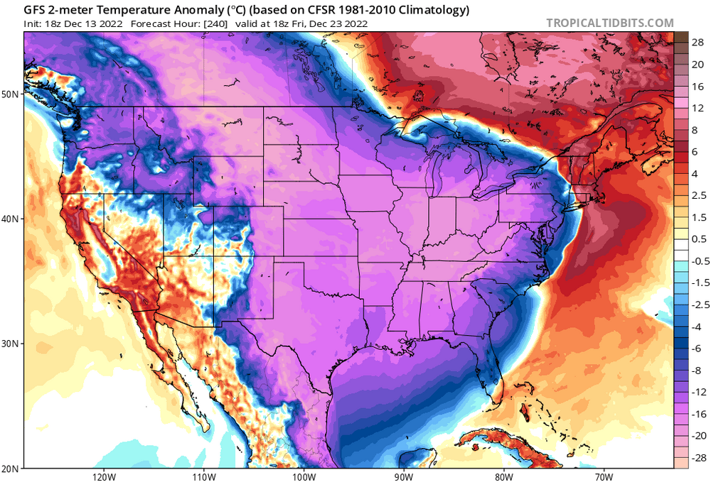
December 2022 Observations
in Southeastern States
Posted
19.4 was our low this morning. Surprised it wasn’t lower, seemed destined for another low-10’s after our high of 29