

MarkO
-
Posts
3,297 -
Joined
-
Last visited
Content Type
Profiles
Blogs
Forums
American Weather
Media Demo
Store
Gallery
Posts posted by MarkO
-
-
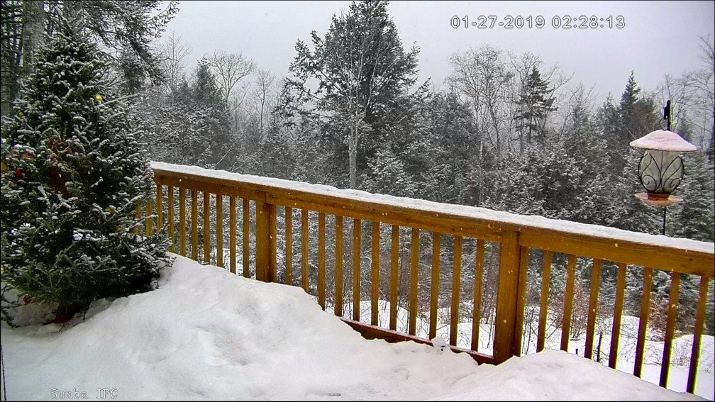
Very interesting here right now. Sleet mixed in with snow about 45 min ago, since then it appears there is better lift in the DGZ and we now have partial melting of dendrites refreezing. Still mostly accumulating snow.
-
5 minutes ago, Baroclinic Zone said:
I'm certainly not a hillbilly. City Slicker.
Google Hillbilly Weatherman, he'll give you the S.H.I.T.
21.9/20, looks like snow may be moving through a thin warm (>32) layer and partially melting/re-freezing. Looks like 3-3 1/2" out there.
Edit, yes sleet mixing in
-
3 minutes ago, Baroclinic Zone said:
-SHIT falling
Hillbilly Weatherman?
-
32.2, nighty night.
-
9 minutes ago, 40/70 Benchmark said:
Our obs are usually pretty lock-in-step.
You're much more in-step now than in Wilmington. Whereabouts in Methuen?
-
Still holding on at 31.9
 , but it's only a matter of time. Only decent accretion is limited to trees.
-
Temp flipping back and forth between 31.7 and 31.9 last hour after starting out at 31.6
-
31.6/30 and holding steady since precip started. A nice glaze on everything aside from paved areas where it's just starting to freeze up.
-
I average about 95"/yr in Thornton, and we're quickly closing in on that, and it's January 31st! Pretty good considering how little it has snowed in SNE.
-
 1
1
-
-
-0.4/-12 Lowell, -7.0/-15 cabin. cold, but it's been colder.
-
1
-
-
Looks like a Cat 5 hurricane
-
 1
1
-
-
On radar you can see where two bands converged over Lowell and went southeast towards 128 in the Woburn area. Almost surprised there wasn't a pile up.
-
Holy smokes that squall. Visibility down to about 250' and wind must have been nearing 40mph. Some of the most intense snow I've ever seen.
-
5 hours ago, powderfreak said:
6.25" at home.
Over 90" on the season.
Any idea what the snow stake is at?
I hear Caribou, ME has just surpassed seasonal average.
-
Maxed out at 26.7 last night around 11pm. About 3" fell here in Lowell. I'm hearing about 7-8" at the cabin.
-
2" 25.9/25
-
Looks like about 3/4" 25.7/25
-
1 hour ago, 40/70 Benchmark said:
I like how you give a little love to Methuen and f... Wilmington.
-
33 minutes ago, moneypitmike said:
What a difference in SNE today. I was just down in Worcester. Sun shining, 39*, lawns inspiring dreams of a lawn thread. Back at home, 27*,ripping fatties with about an inch on the deck.
Night and day


-
 1
1
-
-
NNE winter. Currently snowing up there, 26F meanwhile it's PC and 44 in Lowell. Wednesday I end up with a coating on tail end while it dumps a foot at the cabin. I'd guess I'm at about 20" so far in Lowell, 60+ up north, probably 20" above normal.
-
It was wetter and warmer than I expected. Forecast was for about 3/4" and I got 1.22. Temps were in the mid 40's for most of the day. Pack took a beating, but it still looked like over a foot unlike around here the pack is all but what's left in the banks.
-
4 hours ago, Whineminster said:
Yeah see I was right. Sled trails and slopes will be icy as hell this weekend
Friend just told me it flipped back to snow in the Berks, so mountains could get an inch or two. Temps already dropping, but 1.18" of rain fell up there. Pack looks fine. Took a little hit, unlike my backyard here. Patches like I said.
You mentioned or at least questioned whether the pack would get destroyed. Clearly that didn't happen. Not even close in the mountains.
-
Last time I checked it was 44.4/44 at cabin which is warmer than I thought. It was in the mid 30's around 9AM this morning. Pack taking a hit, but not as bad as around here. Currently 54.2/53 in Lowell.
-
When I left on Monday, I had to trek out to my shed and the pack was over knee deep (poking through two layers) and standing on the third. It's got density. Like I said, 6+inches liquid. My forecast up there calls for it to start as mix of frozen, flip to rain (0.5-0.75") then back to snow. So it will be absorbed.
I "thought" it said 2-3" of rain around here, but it's only 1-2", so I don't think it will be totally gone, but spotty and banks.
NNE winter.


February 12th-14 Redeveloper Nowcast/Obs
in New England
Posted
Oddly it's back to snow (little sleet if any) and low level pixie. 22.3/21