mattie g
-
Posts
14,636 -
Joined
-
Last visited
Content Type
Profiles
Blogs
Forums
American Weather
Media Demo
Store
Gallery
Everything posted by mattie g
-
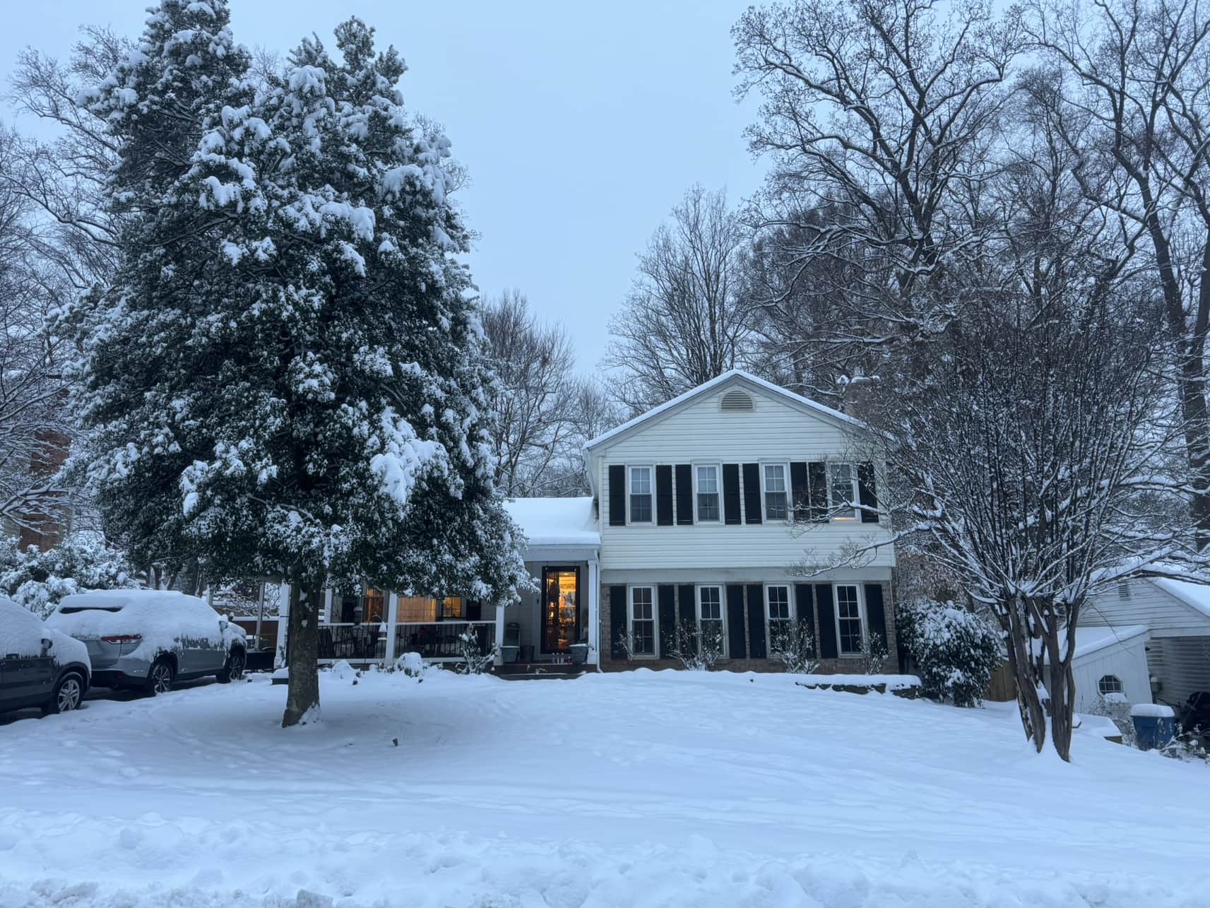
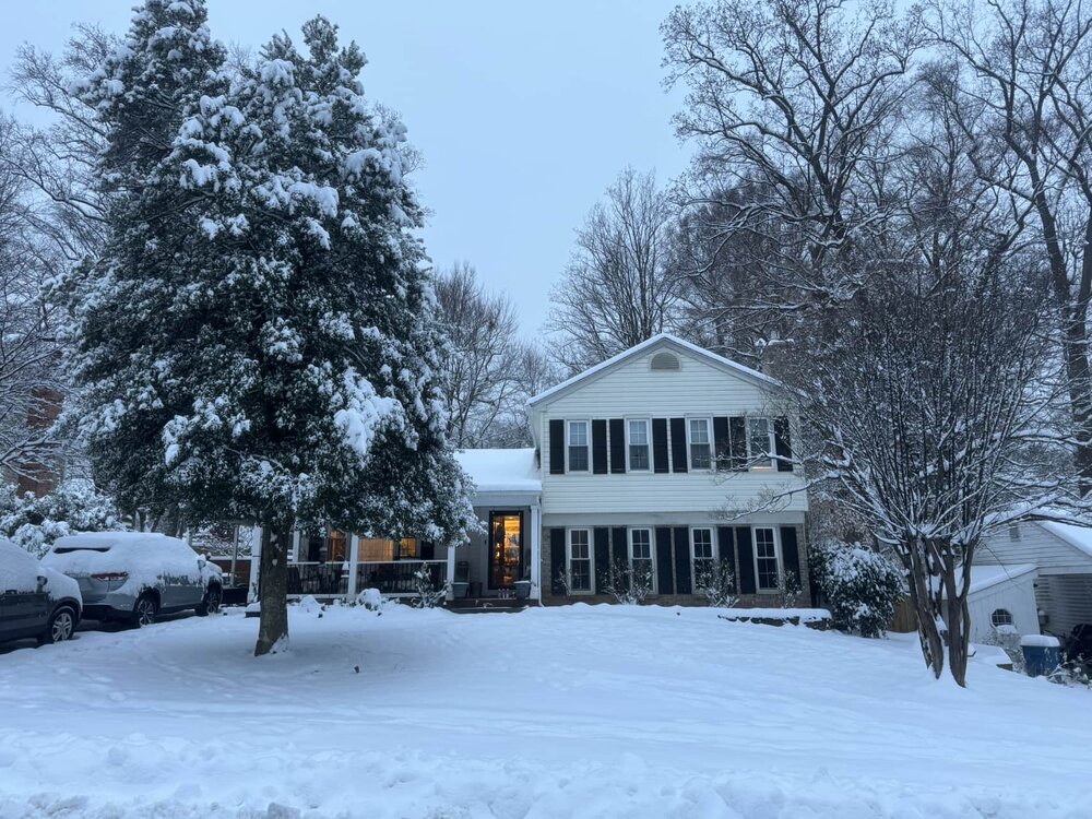
Picked up a little shy of 0.25” here in Burke. Nice whitening of pretty much all surfaces.
-
Cul-de-sac has caved with this little burst of light-to-moderate snow.
-
It’s nothing to do with the supposed inability of DC/Baltimore drivers to drive in the snow. It’s very cold and a quick coating can result in sheets of ice on plenty of surfaces as cars drive on the powder and compress it.
-
On and off flurries in Burke, same as others around me!
-
Right where we want it before the SE trend.
-
Man…it missed south.
-
Confluence is farther north at 18 hours on 18z GFS.
-
How much for Richmond?
-
This thread is a fucking train wreck.
-
That’s rich coming from you.
-
But was it a move towards the ICON? That’s the big question of the morning!
-
Jesus fucking Christ…I’ve been reading this thread since this morning and I’m still on page 185.
-
Felt glorious in the sun this afternoon. Tons of melting but still lots of snowcover. I’d prefer it be gone, so hopefully some sun tomorrow will continue to zap it.
-
Watch the GFS be an inland bomb and the Euro a weak POS slider giving Fayetteville 4” of cold powder. The CMC…who cares?
-
You’re not disagreeing with his statement about the “shaft line.” He says that the “shafting” is a north/south thing and not a NW/SE thing. Also…you might be north, but he’s way the hell west. Edit: “shaft line” not “shady line”
-
We’ve still got lots of snow in the ground, but I honestly just want it to go away.
-
11/21: T - grauplets 11/22: T - SnowTV for an hour or so, followed by drizzle 12/1: T - on-and-off small snow showers for about an hour 12/24: T - some light sleet in the morning left a coating 1/3: 0.75” - squall/thundersnow 1/5-1/6: 9.0" - bumped a little based on local spotter reports 1/11: 1.0" - pretty little weekend thing 1/14: T - light snow shower late in the evening 1/16: T - very light, quick snow shower 1/19: 1.0" - missed morning rates but flipped later when rates increased (light flurries on 1/20, as well) 2/9: T 2/11-12: 8.0” - relative jack on the northern edge of the heaviest snows Seasonal Total: 19.75"
-
Took this pic before shoveling early this morning. Look closely enough and you might see the new dude looking out at me from the front door. Is it considered snow on snow if we still had small piles of snow that fell from our metal roof after the January storm? Lol
-
Ended up with 8” on the dot, which jives with one of the spotter reports nearby. Looks like we jacked here, which is a nice change of pace.
-
7.25” in Burke as of 10:50 pm. Gotta admit that this far surpassed expectations IMBY. I thought we’d do OK, but we maxed what we got on the very northern edge of the best precip and it piled up quickly once it started coming down at a decent clip. Headed to bed hoping we can squeak out another inch, but if we don’t I’m not going to complain one bit!
-
Dude…same here! I said as much about 152 pages back, but the ratios probably suck here despite us getting over 1” per hour for a couple hours earlier.
-
5.75” in Burke as of 8:20 pm with 0.75” in the last hour. Kinda liking that 7” goal…
-
5” in Burke as of 7:20 pm. Would love to make a run at 7”, which was honestly the high end I had in mind.
-
1.5” in the 5:00-6:00 hour here in Burke. No idea what the liquid equivalent is, but if I were to guess, I’d say the ratios aren’t that great despite the impressive rates.
-
Measured a tick under 2” in Burke at 5:05 pm and have already added about 0.4” since then!