NW_of_GYX
-
Posts
961 -
Joined
About NW_of_GYX

Recent Profile Visitors
3,484 profile views


-
Per Jay's webcam it looks like the snow moved in their about 30 min ago. I'm gonna keep an eye over the next 3-4 hours but as of now I'm planning to make the drive over in the morning. Man I've made the trip to NVT more than ever this season, speaks to the haves and have nots this winter. Hopefully next winter I can drive less

-
GFS trying for one of those 3’ multi day fake snow events in the northern greens
-
Upslope signal emerging for midweek is starting to get interesting. How close is Jay to 500”?
-
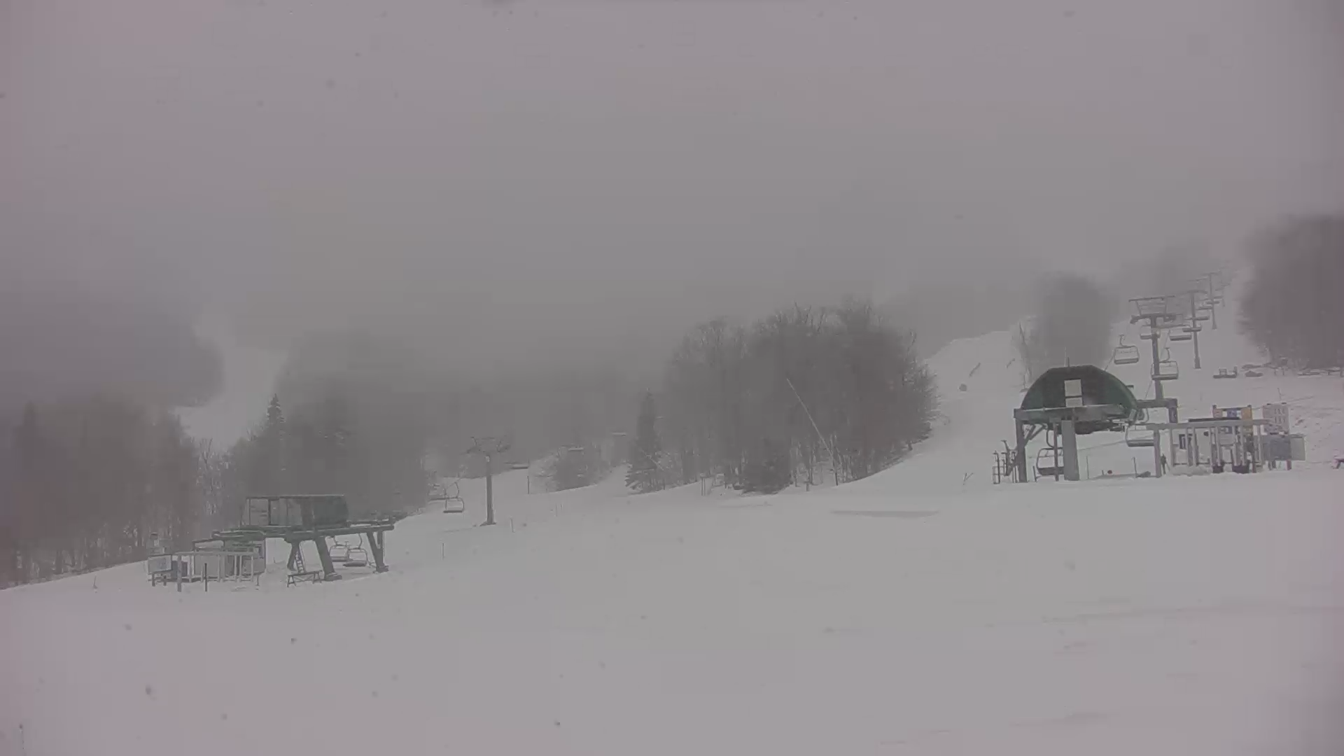
Deep winter at Jay today .
-
You have 6” more than me. We’ll see how this finishes but it’s a rare season where your area outperforms mine. 60” is pretty close to an F here. Only season with less in my time here was 15-16
-
What’s your average? Unless we get something rogue I won’t get to 75%
-
Quick 2” this afternoon .
-
5” here, great little pow day on the hill with no one there .
-
Jay was great today but probably more like 7-8” over that same period. Sticking around for tomorrow before heading back to Maine
-
What’s it look like tonight for the northern greens?
-
Puking fake snow at Jay right now. Sleeper pow day like you read about. .
-
5”. Great afternoon on the hill .
-
AWD and snow tires FTW
-
28, heavy snow .
-
Ya the NAM products are further east with the good dynamics but can’t find a model that doesn’t give someone in Maine an advisory event