

Kmlwx
-
Posts
13,022 -
Joined
-
Last visited
Content Type
Profiles
Blogs
Forums
American Weather
Media Demo
Store
Gallery
Everything posted by Kmlwx
-
If we get sun I wonder if we get an outlook upgrade at 20z. I doubt it - I think we are at the max SPC would go for a late season event. But it's never out of the question.
-
Satellite shows some pockets of clearing ahead of the line associated with the tornado watch. Question will be whether that becomes clouded over more with stuff popping ahead of the line...or will the clearing sustain and move over our area later on. In my mind, any clearing is just bonus instability.
-
The RAP has 47kts of 0-1km shear for a time in some areas this PM. That's legit.
-
Pretty good slug of rain in the Rockville/Potomac area right now. Hope we can get a peak of sunshine or two to boost instability even more. Let's go big.
-
WOW - That is a bold Outlook from SPC for this late in the year. Let's shoot for a moderate at 20z
-
That's a pretty strongly worded meso discussion for October on the east coast.
-
RAP (FWIW) has like 1000 CAPE. Instability has been trending upward more. A few days ago I thought we'd be lucky to get 500J/KG
-
I pulled a sounding from the 12z 3km NAM and it had a 500 value for 0-1km SRH it was 800 for 0-3km I think. That's absurd. 40+kts of shear in the 0-1km range.
-
EF-5 tracing the beltway during the end of rush hour. Mark my words.
-
That's probably broadbrushed due to the general large area of risk. Maybe more of a CYA than anything. But large 5% TOR can sometimes be a prelude to a little 10% area being introduced later. I think Reed Timmer was a bit much last night...
-
What product is that?
-
There was a tornado watch just south of LWX in October of last year (10/11)
-
@mappy - WOW SO JUDGEY. ALL TORNADOES ARE DANGEROUS. How dare you undermine QLCS cutie tornadoes.
-
@yoda - I'm in for "interesting weather" other than what we've been getting lately with just sun or rain. I'm *not* in for a widespread damaging event. LWX in typical fashion will find a way to issue 30+ SVRs tomorrow though (I kid in good fun)
-
VERY strong wording from LWX. Their headline in the short term portion of the AFD is A potentially dangerous weather event is unfolding for Thursday
-
Does Horst have plans to get that updated to a cleaner interface?
-
Sweet! Thanks! Not sure how I had no idea about this.
-
I miss the locally run LWX models for the weenie factor. We had like 3 extra models to look at for severe.
-
The trend definitely seems to have been to bump CAPE values up a bit. I'm seeing numbers of 500 to almost 1000 in some soundings. I might be in - depending on model runs today.
-
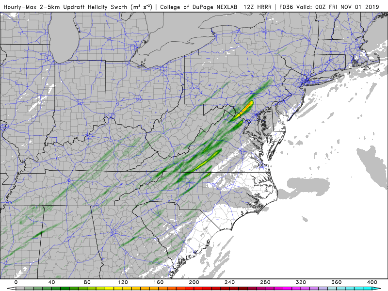
Lol...from the 12z HRRR.
-
In practice - I feel like these lines tend to speed up even if just by a bit with time.
-
Whoa...who are you?
-
3k NAM gets MLCAPE to 500+ into the area. Not bad.
-
I think there was also a day (was it that one?) that had tornado watches for all or part of the area for like 24 straight hours or something. And I think a day in June 2013 that had a long track EF-0 tornado in MoCo.
-
For as much crap as we all love to talk about DC failing at severe - we've had some pretty memorable days to track around the area - even if everyone didn't get hit. 9/24/2001, 4/28/2002, 6/4/2008, 6/29/2012 have all been truly special severe days around the DC area. There are some others as well.


