

ORH_wxman
-
Posts
90,902 -
Joined
-
Last visited
Content Type
Profiles
Blogs
Forums
American Weather
Media Demo
Store
Gallery
Everything posted by ORH_wxman
-
The likes a 100-150 mile shift north with the ULL out in the midwest...from well southwest of ORD to near MKE
-
GFS is gonna be zonked this run...prob non-snow well into NNE would be my guess basing off of 96 hours.
-
Only another 24 hours until the 84h NAM can see the beginning of the storm...... Just to put things into perspective.
-
Mid-levels may cool if we see that secondary development continue to be pretty early. I've seen that happen before where the sfc is the first to really go cold and then later on it turns colder through the rest of the column....but we're still pretty far out, so the synoptics can easily shift the wrong way. But I'd def hedge colder *IF* that secondary sfc reflection is continuing to start nuking out off ACY rather than ACK or south of BID....which is what models have been showing.
-
Low levels look putrid.
-
Sfc is trending colder which isn't a surprise given the secondary track....the sfc secondary reflection actually gets going pretty early on relative to the mid-levels. So we'll def have to watch for a mess of IP/ZR for a time ifthe mid-level do not trend colder.
-
Yeah when we don't have good cross polar, it will get pretty mild in early to mid December. Climo is tough. Its possible we get some inverted airmass that keeps us cooler but if we mix out then we're prob looking at a few days in the 40-50F range. But who knows...ensembles have been pretty woeful beyond 10 days so far this season. We've seen a lot of flip flopping.
-
132-144 hours is still a long ways out....lots can change....missing snow by 50 or 100 miles at this point is nothing.
-
Euro is a nice cold rainstorm verbatim....though some ice in N ORH county and Berks. But that's not a terrible look at this range....it will prob transition to snow in the next few panels.
-
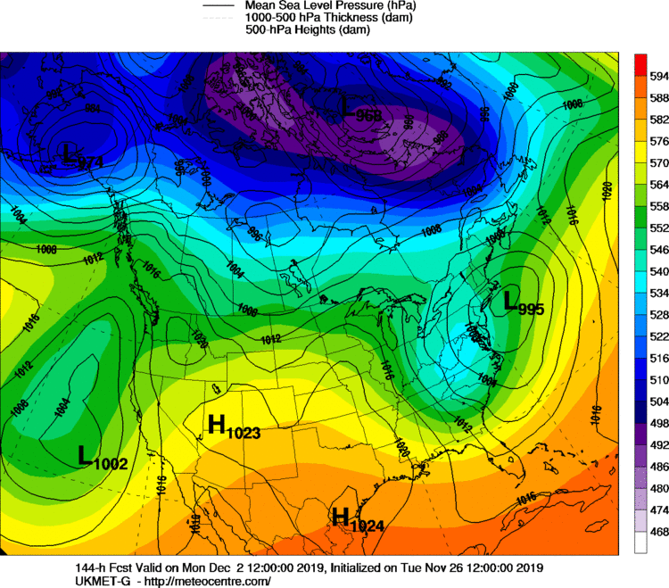
Can't see precip of course, but Ukie upper levels and sfc would suggest an SNE crushing
-
Yeah...this can still end up anywhere, but if you have to pick a combo of model solutions at this time frame, you prob want to be tainting a bit on the Euro and being scraped by the GFS. The NAO ridge is a good thing too that does put a limit on how much this can amp up. But that limit is still high enough to produce all rain for SNE, so it's not safe yet.
-
I'm with Jerry...my worry is taint before suppression....both options are plausible though.
-
Ginxy needs to take out his frustration like when Scooter throws furniture in his basement ala 2015. Id say take a chain saw to that fallen tree in the backyard but I wanna make sure your back isn't stressed too much. Maybe throw on the leaf blower backpack and just spray all those dog dookies over the fence. Send 'em flying through the air.
-
Haven't seen ginx this angry in a thread since the famous Pawcatuck river meltdown of 2010.
-
That's about all you can do at this time range. Keeps all options on the table. The high is in a pretty nice spot at least.
-
Weeklies vastly improved for 2nd half of December. No pigs in sight.
-
I'm talking like a few days here...not some multiple week relaxation. The period between when the NAO ridging goes away and before the PNA/EPO rebuilds, we could have a short term relaxation. It is not clear what happens beyond 12/10-15 or so.
-
Yep, it's active and looks to stay that way. After the Dec 1-2 system, it looks like a mini-relaxation and then a PNA/EPO reload as the NAO ridging goes away.
-
6-7 days out is basically weenie tag territory...or used to be. All we can say is there's a decent chance of storm system nearby, but hard to say much else beyond that.
-
Euro is a mess of precip types...but it's really close to snow too for majority. Esp given the time lead.
-
Its a good sign the GGEM doesn't show snow right now....I'd have the climate of Labrador if all the D6-7 GGEM snow threats actually verified.
-
Drenched in 36F rain while watching Jason Garrett flail against Belichick....I'll need beer.
-
It's hot and cold like any other short term meso model....I remember it shat the bed really bad in the Xmas 2017 storm...didn't figure it out until like 4 hours before it started. It was also too far west in the March 13, 2018 storm (the big one). But it has its coups too.
-
I'll give the HRRR another couple runs and see what happens. It's actually been strengthening the case for a flip to snow in SNE with each run....not weakening it as we usually see as we get closer. But it's still the HRRR more than 6 hours out, so you proceed with caution. If we're still seeing massive stingers on the 16z run, then it might be real.
-
Thats definitely a MAUL. Would likely be thunder in that type of sounding. Hard to actually trust the HRRR though. That's almost 12/9/05 stuff.


