ORH_wxman
-
Posts
90,902 -
Joined
-
Last visited
Content Type
Profiles
Blogs
Forums
American Weather
Media Demo
Store
Gallery
Everything posted by ORH_wxman
-
I'm still bummed that eastern went off line. We had it online for many years after we migrated...maybe like 4-5 years. I had the 12/16/07 obs thread bookmarked because I loved watching all the totally surprised (and dumbfounded, lol) reactions when people woke up during that one. The link is still in my bookmarks....lol: http://www.easternuswx.com/bb/?/topic/150209-sne-obsdiscussion-for-1216-noreaster/page__st__1210 It obviously doesn't work now.
-
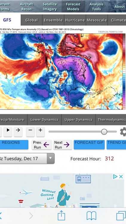
That was not a raging +NAO pattern....we actually had kind of a bootleg -NAO which helped out a bit. We had an ugly AK vortex during that, but the NAO was just enough to give us a few threat along with split flow out west which prevented a total PAC firehose torch.
-
Dec 2007 was prob your best....but 2008 was good too...but '08 was prob better out east due to the best snows being east on Dec 20-21. So was 2009....but I don't think it beats out the other two....esp since you whiffed on the Dec 20, 2009 storm. In ORH, the 25.3" of snow this December trails only Dec 2007 (27.1) and 2008 (31.4) since 2007.....if we go back a little further, 2002 had 30.5".
-
That storm was actually called "The RPM storm".....the RPM kept hitting us like 48-60 hours out and we assumed it would cave but it never did and other guidance started catching on. I can't remember which normal model agreed with it first, but it wasn't the Euro...it might have been the RGEM actually and then the NAM. It was kind of a compact little nuke, so it was a system that the meso models handled better.
-
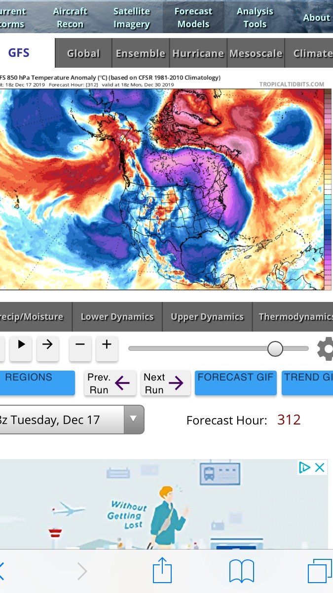
PAC is def ugly but split flow negates some of that and those bouts -NAO are helpful. They give us a chance at least. Hopefully we can pop something. Ensembles did support a chance around 12/25-26 and then again 3-4 days later. It's not super cold obviously but we've produced before on some of these "poor PAC, but weakness in Quebec and Davis strait" type patterns....think late Dec 2012. We will need some breaks but it's not hopeless.
-
Split flow and -NAO has been showing up around Xmas and the several days beyond. That's where we could get something. That's actually how some of the models are producing the 12/25-26 threat.
-
Pretty much whiffed our entire state save far SE. SW CT did well and some pockets further N. But that is how these things go when the parameters aren't all lined up. You get one area that does decent and another totally whiffs. The higher end events hit most areas and the jackpots are like 2-4" lollis. Not a bad event...but just not on the higher end side. We were missing the good low level moisture pool and could've maybe used a touch more lift.
-
Although the HRRR does say more will form over NW MA in the next hour and rip SE and hit E MA around 6pm....so we'll see.
-
Just had a brief flurry here....that's about all we'll get up here. Most of MA looks pretty weak in this event. That line in SW CT looks strong.
-
Not bad....staying conservative down south was a good call....I would've been suckered into going pretty big down there. Usually when guidance all shifts toward a good hit less than 24h out, it's correct....but it backed off quickly....tough event to forecast for....but holding steady proved to be the best course of action.
-
Not a great setup for a widespread hit....I made a few posts earlier in the thread. We're missing the really good LL moisture....we've got plenty of midlevel moisture and steep lapse rates, but the LL moisture a bit lacking for high end event. Also the lift isn't really strong (old school LI spike isn't quite there if using the primitive checklist)....but we'd still have a pretty good event if the LL moisutre was there. There will still be a few good squals though as we're seeing some intense small cells develop.
-
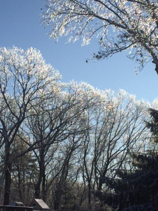
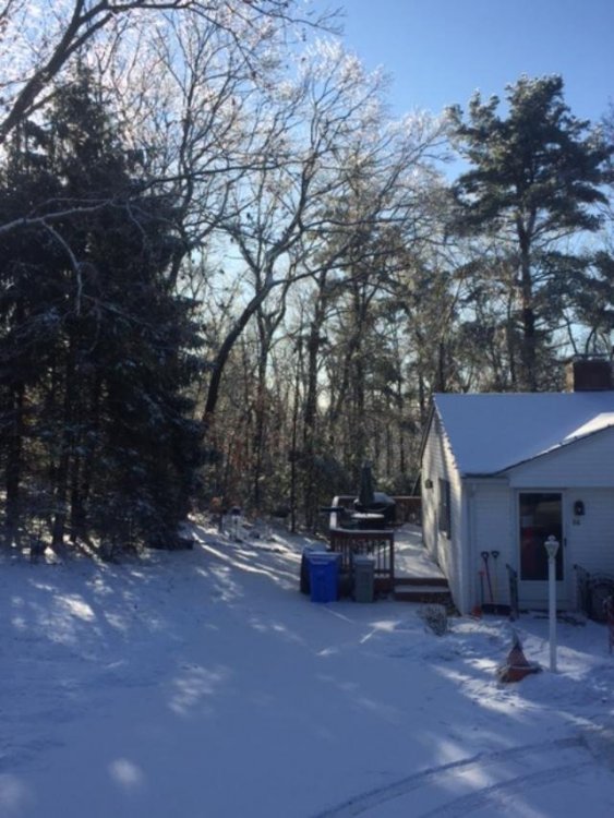
Ice on the trees looks nice this morning

-
Yeah they'll weaken in SNE....there could still be some good squalls, but the potential is a bit tempered without that big LL moisture pooling you typically like to see in higher end WINDEX events. So these are probably the "coating to a half inch" type in SNE rather than 1-3" in the higher end stuff....isolate spots could see an inch or more...esp NW MA. The soundings at a place like BTV have the good LL moisture.
-
Moisture in the lowest levels is preventing this from being really good. We have most of the other parameters in place, but below 900mb or so the moisture is kind of meh. Everything looks better up north. Lift is a little so-so as well, but with good moisture we'd still probably have widespread snow squalls in SNE. Instead, I think the squalls will be less intense and more like snow showers.
-
Nice steady snow in this slow moving band. The snowgrowth is pretty good. If we can get a few of these tonight we could def pull another inch or so.
-
Nice steady snow here. Coating the ice-glazed previous snow/sleet.
-
Lol if I was on twitter I would destroy that guy in about 10 seconds. I can name 3 winters in the past 10 where there was a 0% chance he got 84".
-
WOW!
-
Been getting a lot of pixie dust the past 10-15 min here...must be some lift in the cold zone at 900mb or so.
-
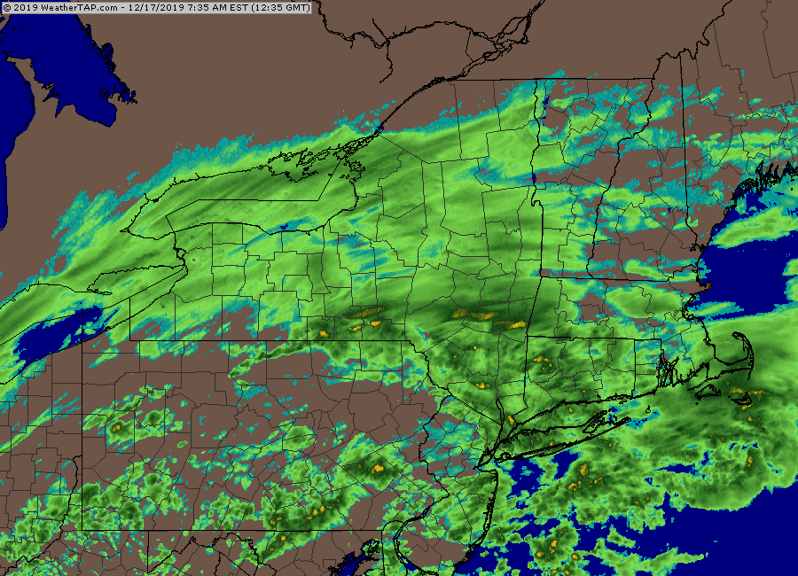
ORH just hitting 0.25" qpf for the event this past hour....you brought your QPF concerns to ORH. What a putrid storm.
-
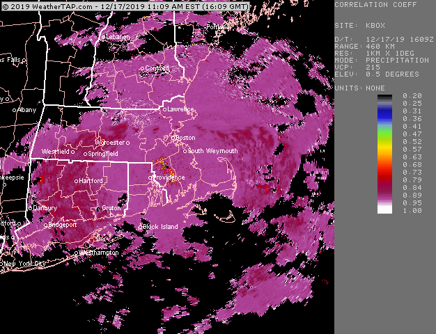
Yeah it is...you can clearly see the line on dualpol....pretty stationary at the moment
-
You'll prob scrape out another inch or so I'd think....but yeah, the radar is Fugly
-
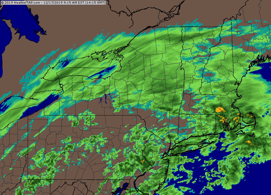
Hard to say...I want to blame it on convection but typically when convection robs our conveyor it is closer by than what this was (like in the warm sector of a coastal)....but perhaps it was still able to pull it off if it was strong enough...I wasn't following closely down south yesterday but it did look pretty intense over a pretty decent area. This system never looked great aloft...I remember complaining a few days ago about how horrendously sheared the vortmax was well off to our west versus our more typical larger thumps. Still doesn't explain why the models ramped up the thump so much through 12z yesterday before starting to back off though....it's not like they had a better looking vort for a few runs and then went back to the ugly look....it was always ugly. But they wanted to consolidate a nice WCB thump for a few runs there.
-
haha, yep....he always gets obsessed with long range threats. I'm only picking on him because he should know better by now having been on the forums for over a decade.
-
This is one of the ugliest radars I've ever seen in a SWFE. Usually you have a nice consolidated slug of WCB precip. This thing is hideous.