

ORH_wxman
-
Posts
90,902 -
Joined
-
Last visited
Content Type
Profiles
Blogs
Forums
American Weather
Media Demo
Store
Gallery
Everything posted by ORH_wxman
-
Yeah it could actually go from rain to pellets to snow back to pellets in that order up near MA/NH border. Lol.
-
I haven't looked closely at part two. Sfc looks too warm on model guidance though over interior MA for part 2 imho....I'd slice guidance temps if I was making a forecast probably unless I'm missing something. I'll prob take a closer look at everything tonight. I just got back from NJ today after a 5 hour drive.
-
This storm is unique in that the coldest portion of the storm is not at the onset like in a lot of CAD setups. This could be a cold rain for several hours in areas like BOS and nearby suburbs...hell even ORH could start as cold rain but then the drain starts accelerating. It's pretty breathtaking actually how aggressive that high is. It could go to ZR and then to pellets. If it starts as ZR/IP, then basically the entire storm will not be liquid where that occurs because it only gets colder as we go through the event...speaking of the main part 1 portion, not that second round on Tuesday.
-
Looks like a Pelletfest in BOS. Like -6C at 900mb.
-
Yeah and I'm still not sure that even the eurowx clown map can see all the layers. Most vendors only have H7 and H85. Both layers are below 0C but not by a lot and usually the warmest layer is going to be in between them in a setup like this. I'd definitely be downplaying the snow a lot unless this starts ticking consistently colder the next couple runs...which it still could.
-
Most of that is probably sleet anyway...esp in MA and far S NH.
-
Euro looked like a scalping up in the pike region for central/eastern MA. But a little nudge warmer and that's ZR.
-
2/28/95. That was a good one. We'll have to wait and see what the mesoscale pattern looks like as we get closer. If the high is really trying to nose down the Maine coast, it will promote the formation of a mesolow out east...if we don't see the nosing action quite as aggressive, then we may not get the mesolow look and the winds stay more ENE which will keep the icing more confined to elevated interior and a little further north. But often as we get closer, we'll start seeing the mesolow look when you have an aggressive high...and this one looks pretty aggressive. The only drawback is the antecedent airmass is garbage...but the airmass trying to be advected in is definitely not...its legit.
-
We often get a barrier jet that forms in the lowest 1000-2000 feet just east of the Monadnocks and ORH hills...it helps really drive the surface cold southwestward. That's what we'll have to watch in this one even if you get models insisting on 33F rain....I've seen it enough times where people are shocked to wake up to 27F glaze. This happened on the event last January. I remember telling everyone ignore the model 2m temps...even on the mesos. They had no idea how to handle the advection from the Maine coast...the models were showing 34F and we woke up to 26F after going to bed with temps near freezing.
-
The difference this time though is going to be which model to trust with lower levels as we get closer. Euro can trend warmer but still be some icing issues over interior. GFS was hot garbage last event in the low levels...it only had the further north midlevels correct. So id be careful basing a forecast off the GFS temps below 900mb. There are still some synoptics that we have to reconcile in this event so nobody should be married to a solution yet. But this is pretty classic for hedging warmer aloft and colder in the low levels.
-
Gonna need to trend colder for that IMHO. H7 is barely below 0C. My guess is there is a warm layer in there between H7 and H85 that isn't being seen on those algorithms/extrapolated soundings.
-
Yeah it's possible round 2 could produce several inches but my guess is it would be further north for that threat. We'll see.
-
I agree the snow is basically zilch in this for SNE until maybe some light stuff at the end. Even CNE is torched in the midlevels...I don't have the entire Euro soundings but H7 is 0C all the way up to C NH/C VT and S ME...and H7 isn't the warmest layer. Prob like H75-H8. IP/ZR is the threat.
-
18z euro looked a tick better with the Scooter streak...thus a hair colder.
-
Right now I'm fully expecting a 35F Rainer for most of the event...then maybe transitioning to ZR/IP later in the event and eventually some light snow. But if we see euro tick a little colder than it already is, then I'll start becoming concerned for bigger ice. 12z run was a sleet bomb for my area and prob ZR for you, but I'm expecting this to tick warmer again as we get closer with that monster ULL out to the west...so I want to see some colder trends first before it comes back warmer again....that leaves wiggle room.
-
Dryslot just jinxed the event.
-
You'd prob get that alone in pixie dust and sleet...I agree with Tip that once you are prob N of pike on that setup, you'd prob have crappy ice crystals trying to grow underneath the warm layer. There's prob like a -6 or -7 layer in there around 900-925.
-
The CAA from the northeast is one of the strongest I've ever seen in a winter storm. Almost like a brutal BDF in spring. It could be a situation where a lot of people start as rain and then it flips to ZR and sleet and maybe even some snow up near Ray.
-
Euro looks like a sleet bomb for MA mane ZR for N CT.
-
If the whole thing gets squashed enough then it could definitely have another round of development post-d5 and hit some areas with good snow. Some of the runs do this for Maine after the initial WAA doesn't even make it there. It would need another tick further south for MA.
-
It still really stings him that he missed 2008 by like 25-30 miles
-
Yeah it's not rotting in-situ type CAD with a retreating high.
-
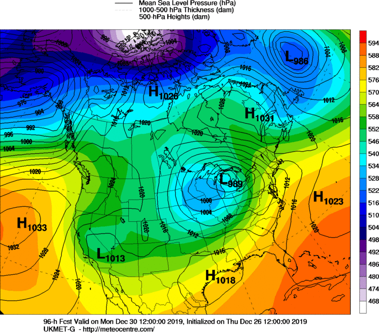
That's a cold look on Ukie...without seeing the midlevel and sfc temps
-
850s near 0....a bit sleety?
-
GFS finally gave up on the warm sector torch.


