

ORH_wxman
-
Posts
90,902 -
Joined
-
Last visited
Content Type
Profiles
Blogs
Forums
American Weather
Media Demo
Store
Gallery
Everything posted by ORH_wxman
-
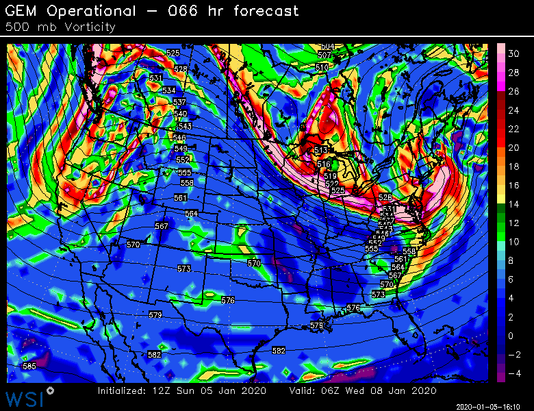
According to BOX climate page BOS 39.3 (1913) ORH 34.6 (1913) PVD 38.6 (1932) BDL 37.7 (1932) If we're converting those into departures for 1981-2010, we'd need something like a +10 to +11 for the month.
-
Yeah I don't get this idea that winters are struggling or going to struggle to produce large snowstorms or prolific snow events....the empirical evidence supports the opposite frankly. Maybe someday it will be true way out into the future. This is despite also there being empirical evidence that the Hadley cell has expanded...it hasn't stopped huge events of all kinds in clocking us...even this year, we got a meandering slow massive cutoff low that assaulted us for 3 days in early December with two distinct pulses.
-
The irony is that the trend we're seeing is a slower northern stream lead shortwave that is hurting this threat. It is moving slower out of our region despite the fast flow pattern overall...so the particular detail that has changed on this threat versus the 00z runs is something that is working as an opposing force to the fast flow.
-
Not sure those qualify as CNE/SNE which is what hippy was talking about.
-
Yeah it's hilarious. We say wait at 96 hours out and then we get a bunch of snarky shit for it. You'd think some people would learn not to lock in solutions at that timeframe after being on here for a while.
-
Not even enough for Jimmy this run with that streak....gotta have that come in weaker on subsequent runs.
-
It would need to be way better than it is....that lead shortwave is a huge problem when it is hanging back like it is on this run.
-
The moosefart shortwave is going to get us on the 12z euro....the main shortwave for the storm is actually deeper this run and digging better, but that streak up in VT and S Quebec is worse
-
Haven't looked closely...what are you expecting? Has it started there yet? Looks close based on that satellite image. Pretty sweet storm.
-
Could easily trend weaker too. They have all done that going back to Xmas.
-
You'd prob get crushed on that look for a time. Hopefully we can trend the whole thing a little more tucked in.
-
That's a pretty nice h5 on the GGEM. Qpf slams the cape and far SE MA but that would prob be better further west too
-
Some threats deserve threads at d4. Depends on the setup. SE MA has legit shot in this one so I'm okay with a thread. When this was being discussed in the pattern thread it was incessant whining. At least if people aren't interested in this threat they can choose to stay out of the thread.
-
That lead shortwave is pretty key. You can tell pretty early on on these runs whether it's going to be better or worse.
-
Rgem had a pretty nice ML sig for SE areas
-
The main shortwave is pretty impressive this run. Quite close with the 06z run...biggest difference is the shortwave that causes the snow showers tomorrow morning hangs back longer and limits downstream ridging prior to the Tuesday night shortwave. That has been a feature that is shifting with almost every single run. Probably why we're seeing so much flip flopping.
-
I mean, it was so zonked at 06z it wasn't holding serve nevermind go NW. This is def a bigger threat for SE areas than western areas. Thats a really good look for SE MA though with the 700 low closing off over ACK
-
He often tries to melt all the snow to the Canadian border any time it's going to be mild in CT. He will be wrong this time like usual.
-
Rgem was pretty good for SE MA. I actually don't really hate euro/GFS either for that area. There's def some ML magic sig showing up on some of these runs that QPF queens usually ignore. This could still kick east obviously but it's got a legit chance.
-
We need a clean warm sector with like +10 to +12 850 temps to get these calls for 60s to near 70...that's literally record stuff...front is close so it could easily be a dirty warm sector with 850s of plus 6/8 or not even really a warm sector at all if that front presses south by Saturday.
-
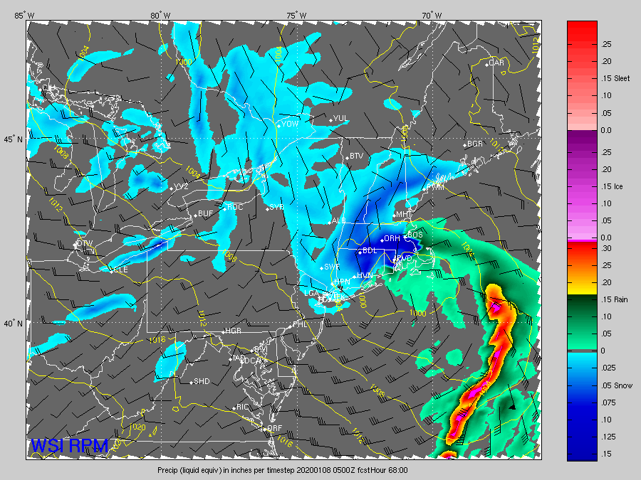
It's actually the RPM. Not the NAM. In all seriousness. This has the look of a really nice ML magic band on the NW side so it's gonna need to be watched closely.
-
Congrats dendrite
-
The difference is that setup wasn't that believable in this pattern. This one is.
-
That's a pretty sweet ML look. Qpf is decent on this run but I think eastern areas might get it harder than the Queen maps would indicate.
-
Euro's def coming back north. Kevin and Tblizz will be hugging the icon I assume since they wrote this threat off already.


