

ORH_wxman
-
Posts
90,902 -
Joined
-
Last visited
Content Type
Profiles
Blogs
Forums
American Weather
Media Demo
Store
Gallery
Everything posted by ORH_wxman
-
Even a compromise still in favor of euro is pretty good for SNE for a front ender. Still an eternity though. Like 150 hours out. It could look totally different on guidance a couple days from now....so everyone should keep that in mind. But as of now, it's not a bad look for a front ender....1040 high with good antecedent airmass. Just don't keep trending that primary into Canada/Hudson Bay...euro has gotten obsessed with focusing everything on that. Eventually that would negate any of the positives.
-
Euro looks more pessimistic this weekend. It's also the most optimistic for 1/16 getting snow into SNE. I'm skeptical of that but it's trying to snow north of the pike now.
-
Lows are going to be counterfeited tomorrow evening anyway. But overnight should push 40 departures in some spots. ORH avg low is 17.
-
Yeah this is rare to get this with dry conditions and some sun. It's typically rain or mist dryslot with 60/60 when we have a torch in mid winter. If we include February and December then it might seem more common. But January is pretty tough given the combo of sun angle and atmospheric lag.
-
Lol we're not gonna be DCA climate. Most of that is clown projections at the tail of the distribution on like an RCP 8.5 scenario which assumes we do weird shit like multiply our coal burning by 7x.
-
Yep. Usually it's raining when we breach 55F here. But when it's dry with a mild breeze....that's perfect for grilling and opening the windows.
-
About to grill outside in short sleeves. Go the window open airing out the house. Feels weird with it dark outside. Like it's one of those nice days in early May.
-
Ineedglasses?
-
Cold front comes through around lunchtime so I doubt it. Esp dealing with some rain in the morning first. Still a downslope dandy for many but we lose the crazy high midlevel temps by afternoon. Def plenty of 60s though. If front delayed by 3-6 hours then we might have a shot. SE MA could actually pop the highest of anyone.
-
Yeah but kevin doesn't really listen to us when we say that. Tends to block it out...though it looks like he's back on the reverse psychology train talking about rains to Maine. I'll just say that 1/18 has more going for it than just about any storm recently. Not exactly a high bar to clear but there's a good high out ahead of it so t wouldn't take much to get some good snows....it could still redevelop south of us off NJ too...I just wouldn't bet on that at the moment. I'd be more on the SWFE front ender train.
-
Oh yeah. Never said it wasn't. I commented that ORH hammered their daily record too. But when we start looking at these things in historical context such as monthly records, etc...massive * next to them which is unfortunate.
-
Previous runs were redeveloping the low well south of us. Didn't seem very likely based on the pattern. I think the front ender triple point over the cape scenario is more realistic. But there's a long way to go for that one. Still 7+ days out.
-
Only happened once at the old site in 1876 and once at Logan in 1950. The 1950 reading is the record at 72F. BOS is running warmer than places like BDL today. Their readings just suck right now and hopefully NWS can get to the bottom of it soon. Biggest climo site in the region and we can't take any of their temp numbers seriously since mid/late 2018.
-
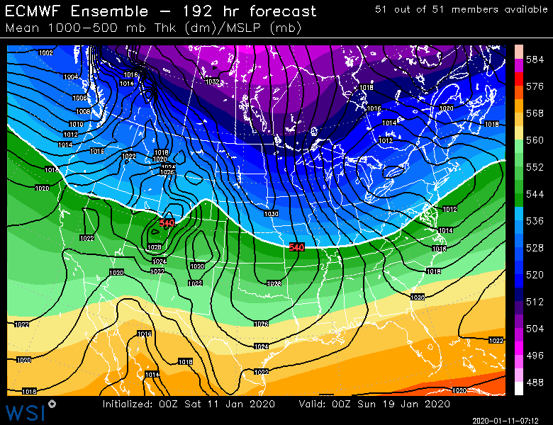
Patience will be a virtue this week. The PNA doesn't really shift until almost as that 1/18-19 event is happening. So anything up to that point including the 1/18 threat is very susceptible to westward solutions. The good news for 1/18 tough is that the antecedent airmass is good and there's like a 1040 high preceding it so that is a decent setup for a good thump even on a somewhat ugly track.
-
Ugh man....such a fake record. Now if they can pop a 72-73 then it would be real. But you literally have to subtract 2-3 degrees. ORH did just set their daily record. 62 vs 59.
-
Euro and GFS have it as a front ender SWFE type storm. That's prob the way we get snow out of it. NNE should watch 1/16 too. We're prob cooked in SNE for that one but NNE could try and snow.
-
Well you should probably spend more time looking then
-
Could easily cut. I mentioned it yesterday But right now we have a shot at something with it whether it's a real Miller B or a SWFE front ender. But a cutter is on the table too.
-
875 is actually not that big a deal the more I think about it. Pretty rare to have an elevated warm layer that low when 850 is below 0C though it does happen occasionally. 825 def matters though...I'd love 825 and 750. But at least with 850-800-700 we could probably interpolate from the soundings whether there's a potential issue even if we can't quite see it. (I.E the sounding is getting warmer between 850 and 800 and then 700 isn't THAT much colder than 800)....so much better than the old 850-700 gap.
-
Yeah 750 too I should've said above. That is a frequent level for pellet layers in the really tilted systems.
-
Nice. That's good they have 4 levels between 1000 and 900. I kind of wish they had like 825 and 875 but beggars can't be choosers.
-
Yeah but imagine throwing Mar '18 on top of 2015.....lol. Thats the stuff of TyphoonTip's fictional weather stories he has authored rooted in some form of reality at some point in time....he has always said that imagine 2015 happening except that the snow is higher water content.....well in this scenario you throw 2 or 3 feet of high water content snow on top of all that powder....similar kind of obscenity.
-
Some pretty cold systems moving into the PAC NW....definitely not Cascade Concrete in those storms.
-
The folded-over EPO block links up with the building PNA ridge around 1/20-1/21 and the flow becomes extremely meridional, so I could definitely see there being support for a larger scale threat a day later or so. (1/22ish) Obviously caveats apply as the look could change, but the reason the pattern has been pretty excited is because of how meridional it looks. That will keep the threats rolling in with a ton of cold over us.
-
It's early but that area looks favorable for the 1/18-19 threat.


