ORH_wxman
-
Posts
90,902 -
Joined
-
Last visited
Content Type
Profiles
Blogs
Forums
American Weather
Media Demo
Store
Gallery
Everything posted by ORH_wxman
-
I wound think at least coastal RI can gust higher than that. Interior is always a crapshoot...so many ways for the interior to underperform on wind events, but if the LL lapse rates actually pan out like guidance is trying to paint, then it could be decent.
-
Just checked HVN and it has 73 knots at 900 and 58 knots at 950 at 21z
-
It’s gotten windier since earlier. The euro may be leading the way. Still not sure about 100-110 knots at 850 like the euro has, but the NAM is now getting some 75-80s in there. Has 60 knots at 950 over E CT to BOS at 00z tomorrow.
-
You weren’t supposed to tell them about our anti-VT group PM.
-
A lot of member social media groups are filled with chickenshits who either: 1. Want to stir up trouble for fun 2. Actually believe the crap they are typing but are too scared to say it without the “safety” of groupthink 3. Think their opinion is way more important than it actually is 4. Or all of the above. Agreed on the toxicity. No use wasting time in an environment like that.
-
If a local VTer told me to go home if I had a place there, I’d tell them to go f*** themselves and not think twice about it. Lol.
-
I’ve been noticing even the NAM is like 30 knots less with the LLJ than the euro. If the euro verified, even I would admit that there is some decent wind potential away from the south coast, but the solutions with like 65-70kt at 850 are kind of meh for interior outside of some rogue gusts in cells.
-
BDR and GON are pretty exposed. They might have some ok gusts.
-
I’ll be tracking the Tolland stem wind gusts with bated breath.
-
This storm looks like absolute ka-ka. I’d be surprised if there is much of any tropical wind core left by the time it reaches here. All gonna be hoping you get s LLJ max as it rapidly expands eastward.
-
Summer 2020 Banter and random observations
ORH_wxman replied to Baroclinic Zone's topic in New England
Yeah not sure exact temps but in the shallow area near the dock it has to be at least high 70s. It’s definitely cooler in the deeper area near the channel. -
Summer 2020 Banter and random observations
ORH_wxman replied to Baroclinic Zone's topic in New England
I think he fell asleep before his head fully hit the pillow...his normal bedtime is like 745-8. The kid is a fish though. He’s been on the beach and in the water since 830am. -
Summer 2020 Banter and random observations
ORH_wxman replied to Baroclinic Zone's topic in New England
I think it was two years ago when we were here right after the tornado hit the northern part of the lake at the 302 causeway. You could see the tree damage driving over it. -
Summer 2020 Banter and random observations
ORH_wxman replied to Baroclinic Zone's topic in New England
Yeah we can see pleasant mountain looking a little further left than my first shot straight up the lake...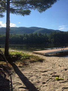
-
Summer 2020 Banter and random observations
ORH_wxman replied to Baroclinic Zone's topic in New England
Moose Pond in Denmark ME. -
Summer 2020 Banter and random observations
ORH_wxman replied to Baroclinic Zone's topic in New England
Up in Maine this week. First night was a beauty...we let our 4 year old stay up late and swim until after 8pm...got this shot a bit before 830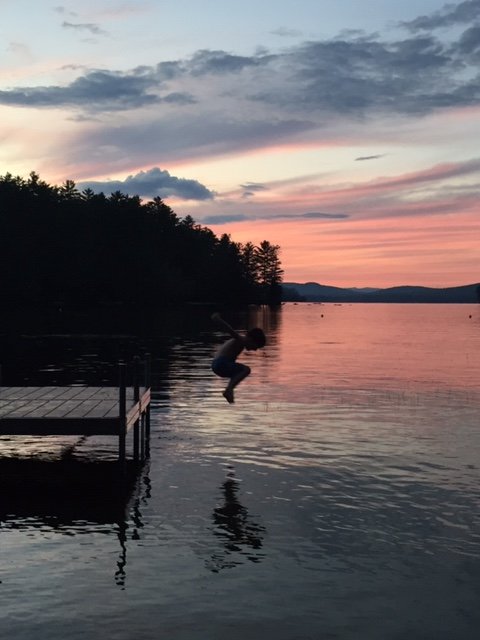
-
It probably will. Or at least the warming there will slow. The N PAC has warmed faster recently than the N Hemisphere as a whole.
-
Its going to be inland for like 1,000 miles. Unless that drastically changes, this is primarily a big rain threat. If it stays over water somehow, then that means further east landfall over the cape or something. Outside of some southern facing exposed beaches, nobody is even seeing minimal sustained TS winds up in NY and New England.
-
I didn’t totally write it off. But as of now, it’s at the bottom of the list. There arent many scenarios where this is even a strong TS at landfall. The scenarios where the location is central/western CT have the storm tracking over the interior of the I-95 corridor so you don’t have any wind core left. Stronger scenarios are more plausible out east toward the cape if this stays more offshore.
-
Meh...dime a dozen in the other 3 seasons. I guess southerly 50mph on the coast in summer could cause a bit of damage. But the rain threat is 99% of this... You haven’t been through many New England TCs, have you?
-
Biggest threat is a PRE on this. The wind threat is lol up here.
-
Summer 2020 Banter and random observations
ORH_wxman replied to Baroclinic Zone's topic in New England
Haven’t been in since 3/11...have no idea when we’ll be back in office as no date has been floated. My guess is not until next year sometime. I worked remotely 3-4 days per week anyway before coronavirus so it wasn’t a drastic change. I do find no being in office for meetings every week has slowed our efficiency a little bit though...like operating at 80% or so compared to before the lockdown began. -
Summer 2020 Banter and random observations
ORH_wxman replied to Baroclinic Zone's topic in New England
There was an interesting read a few years ago on how the great whites started increasing off the Cape once the seal populations were rebounding....a delayed response to the protection of them in the 1970s. Apparently Great Whites were pretty common in the early days of settlement because seals were very prevalent. Then we started hunting the seals not long after we arrived and they steadily decreased....their demise accelerated in the late 19th and 20th century as fisherman started killing them off because they were competing for the same fish. The seals were nearly extinct on Cape Cod by 1970 and so were the great whites.....hard to believe now there are about 40,000-50,000 seals on the Cape now. Actually a pretty amazing conservation story....but it has meant an increase in the sharks. Maine has similarly seen seal populations rise from their lows back in the 20th century. Sharks are going to go where the food is. -
That list I gave in vertical fashion was the good weak Ninas....not the ratters. Only ratter weak Niña is probably 1954-55...you could almost classify 2011-12 as one, but that was really a moderate Niña and it peaked pretty early. Of course everything else you said could be true as well. Maybe the warmer PAC outside of enso regions was reducing the effect. We did have a weak El Niño basically act like a La Niña a couple winters ago...but that has also been true in the past on a few events. Maybe it’s becoming more common now. We’ll need a higher sample to be sure. You've talked about the expanded Hadley cell...is it the dominant driver? Not sure. It definitely is a force that increases the gradient. But......Arctic warming faster than the rest of the globe reduces the gradient...that reduced gradient will want to offset an increased gradient from Hadley expansion. By how much? I don’t know. Will the PAC go back into a relative cold cycle again like we saw in the 2007-2013 years? That’s another question. I don’t think the N ATL going frigid on us since 2013 has done us any favors in terms of NAO blocking. You’d figure at some point the blocking will return...but outside of fleeting moments (March 2018...late Nov/early Dec 2019), we haven’t seen it during the winter months...not even during the “Labrador visits Boston” winter of 2015. I’m mostly thinking out loud in this post...we all know how difficult it is to predict winter here because New England has such a weird geography and no real Golden Nugget teleconnector. EPO would probably be our closest one to being that but even here we’re far enough east to not be in the direct line of fire like, say, the Great Lakes and upper plains are.
-
Summer 2020 Banter and random observations
ORH_wxman replied to Baroclinic Zone's topic in New England
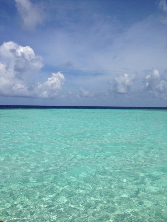
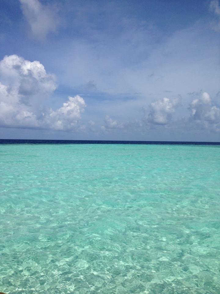
Maldives