ORH_wxman
-
Posts
90,902 -
Joined
-
Last visited
Content Type
Profiles
Blogs
Forums
American Weather
Media Demo
Store
Gallery
Everything posted by ORH_wxman
-
Yeah the early ‘50s were bad. Still doesn’t beat the 4 consecutive dead-ratters between ‘88-‘89 and ‘91-‘92....not only was it 4 consecutive below normal winters and not only did it include a top 5 least snowiest winter, it is also the only time on record ORH has gone 3 consecutive winters without a double digit snowfall....and it actually went 4 consecutive just to make sure it had the record secured. Lol
-
Yeah there is a lower variance over the interior which does give a smoother graph when plotting out seasonal snowfall. Still, even at ORH, going 20 years without back to back turds is pretty tough...below are instances of 2 or more consecutive below average snow seasons (I used <60” as the threshold...I consider something like 63” as “normal” for ORH since it’s within the middle 20 percentile): 2019-2020 2018-2019 1999-2000 1998-1999 1997-1998 1991-1992 1990-1991 1989-1990 1988-1989 1985-1986 1984-1985 1980-1981 1979-1980 1978-1979 1973-1974 1972-1973 1954-1955 1953-1954 1952-1953
-
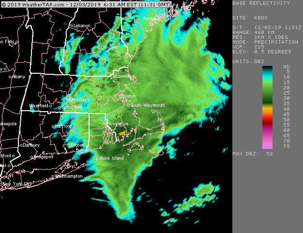
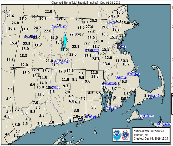
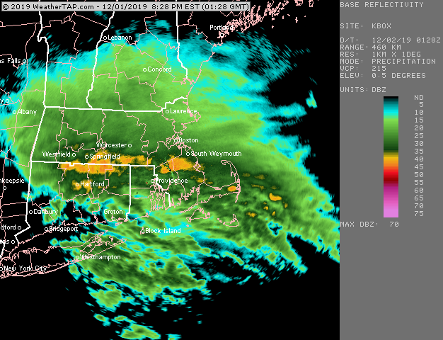
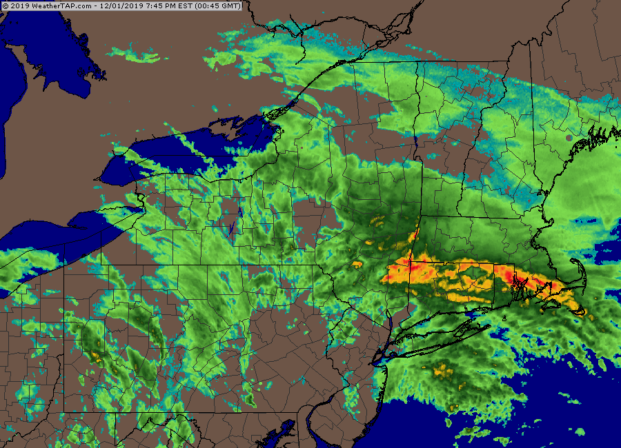
Yeah i was expecting I’d be done in round 1 with about 5” or so when we were a couple hours into it and then all hell broke loose and all of the sudden I have over 9” OTG and the dryslot is ripping in. I barely even ever had pingers. Maybe a couple at the very end and a little freezing drizzle overnight before I was back to flakes the next morning. The big rates are always fun. Especially when it busts a forecast in the positive direction. The radar loop is great because you can just see that WAA slamming into a brick wall over MA.
-
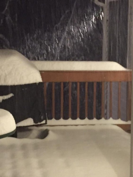
That front end thump basically maxed out over my head (you can see the first two radar loops above i posted, that was all snow here) I remember I kept updating it at the end when I was going at 4”/hr....I had like 2 or 3” and then all of the sudden near the end of that thump I had 9” two hours later, lol. Then i got like 1-2” the next day on intermittent easterly stuff and then the final 6” early on Dec 3rd. Here was a pic of the 4”/hr stuff...kind of hard to tell though because it was night time, but you can kind of tell it’s doing the “choking flakes” thing there. This is in the middle of it when we had about 5 or 6” while less than an hour earlier we had 2”.
-
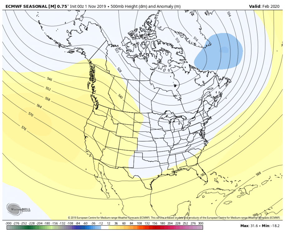
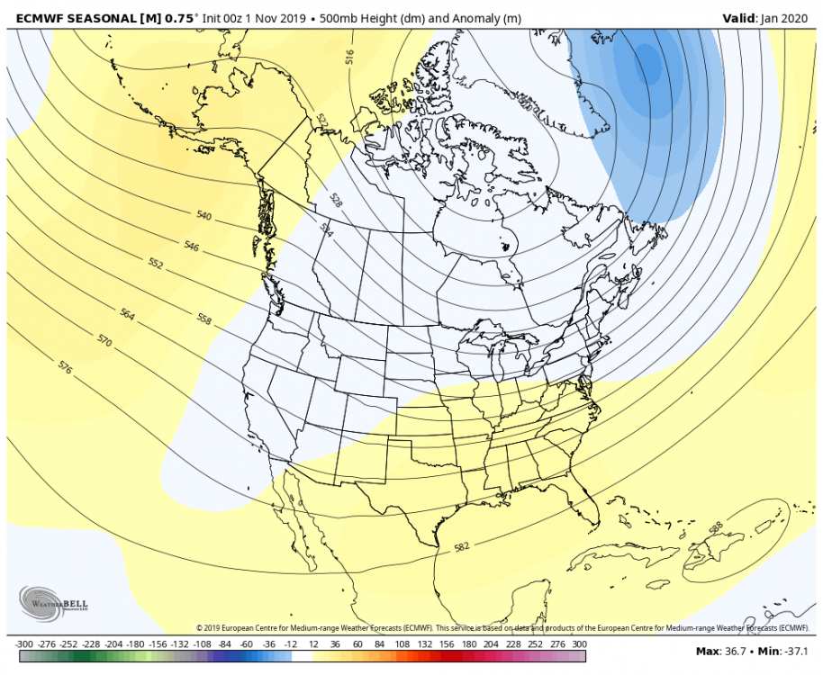
I don’t remember what October showed...maybe that is correct. Here was November, a shorter lead time keep in mind when the skill improves
-
It's actually amazing to think about that, at least for ORH, the past 2 seasons were the first consecutive below normal snowfall seasons since 1998-1999 and 1999-2000. I think a chunk of CT and RI/SE MA did have back to back subpar seasons in '06-'07 and '07-'08. Still, that is not a lot of bad stretches.
-
This was a pretty damned good storm for a large chunk of southern New England...admittedly it left your area out in S CT.
-
The "Scooter bitching his way to a jackpot" storm....he congrats powderfreak and dendrite in this one like 10 times leading up to it....LOL
-
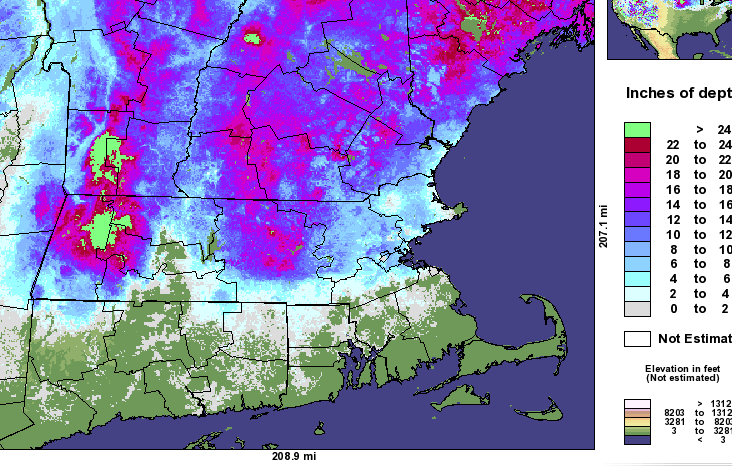
ORH barely missed their snowiest March on record and that was with 2 negative busts (Mar 1-2 underperformed on snow, and Mar 21 shat the bed to the south)....they prob get 50" that month if just one of those other storms pans out.
-
2nd one:
-
Back to back March 2018 events were awesome.... First one:
-
2012-2013 was another example.
-
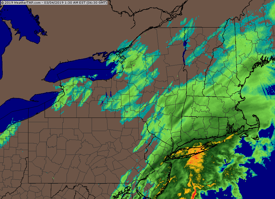
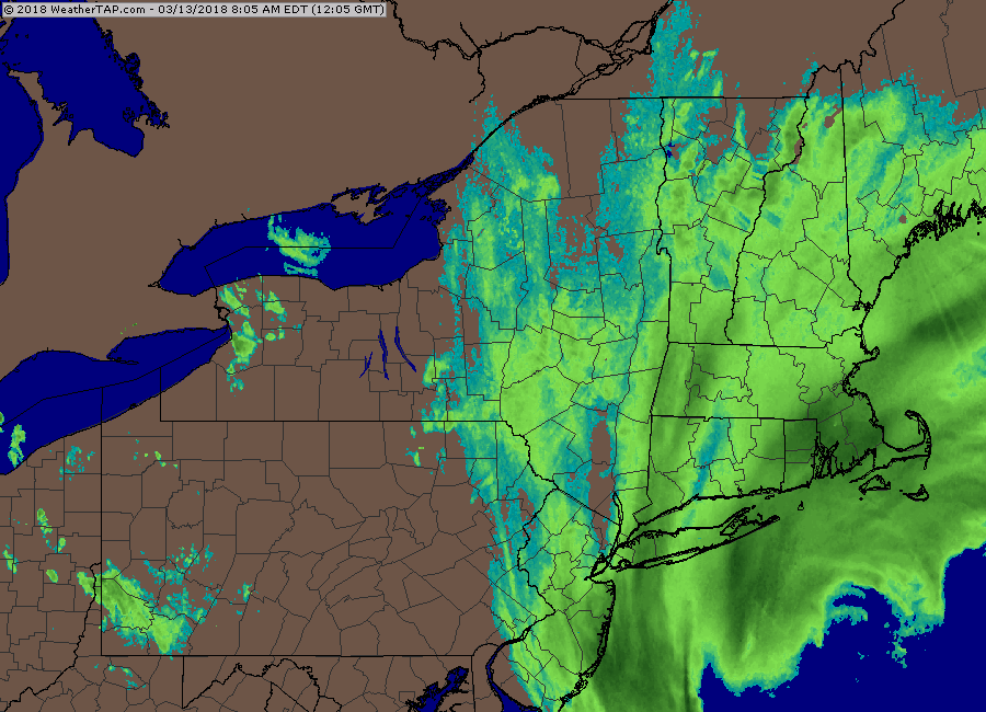
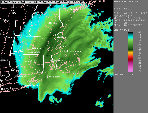
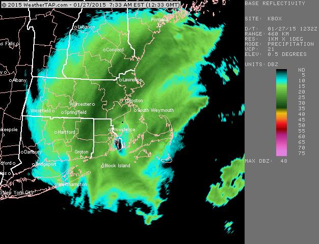
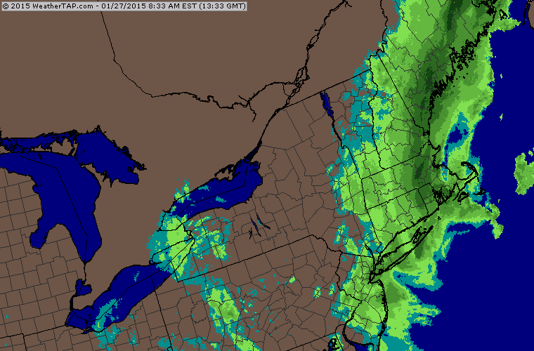
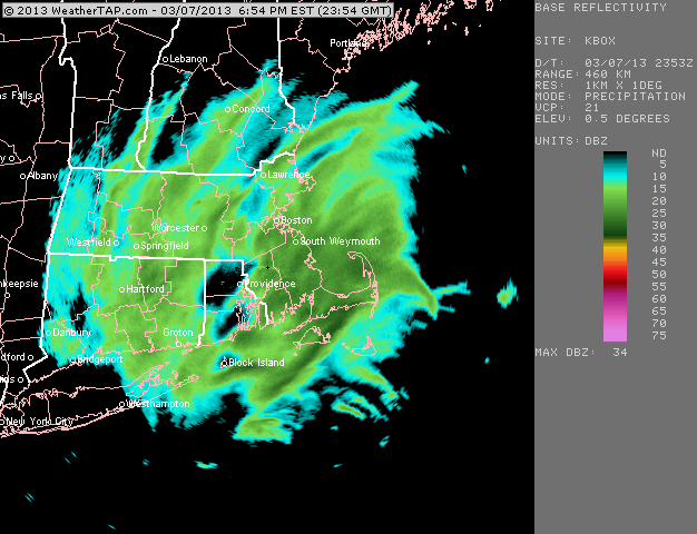
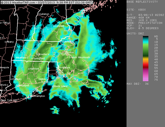
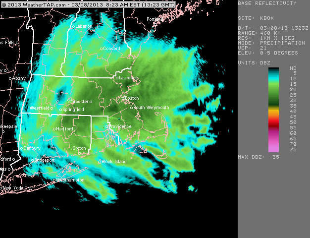
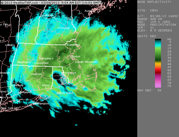
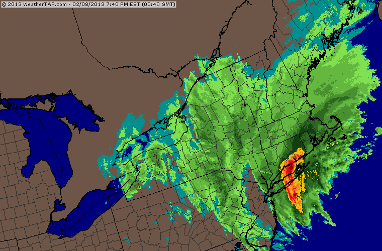
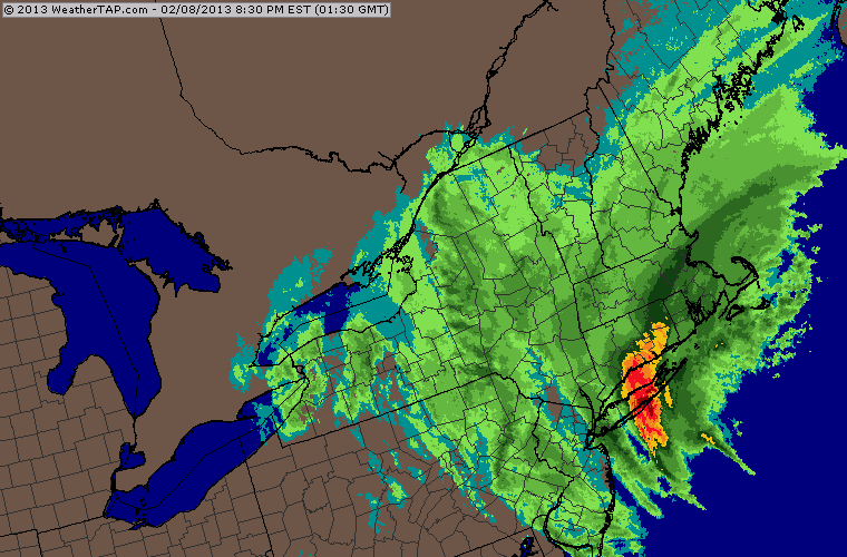
I have a ton of radar loops from the 1/26-27/15 storm....epic storm
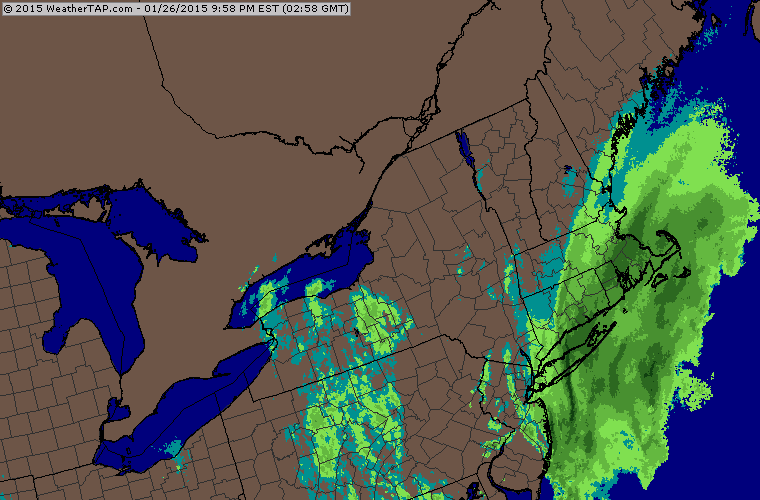
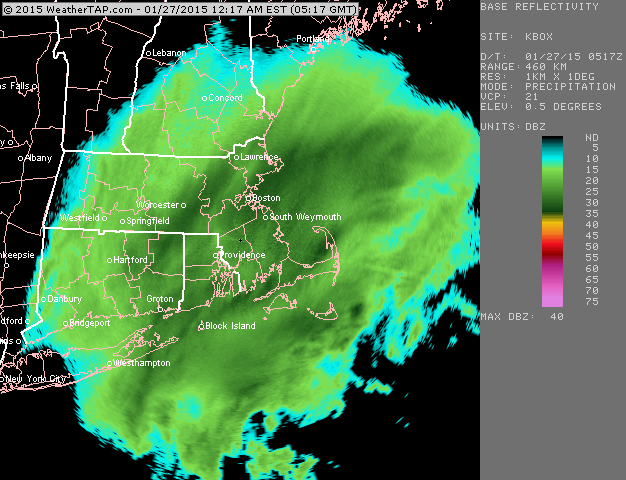
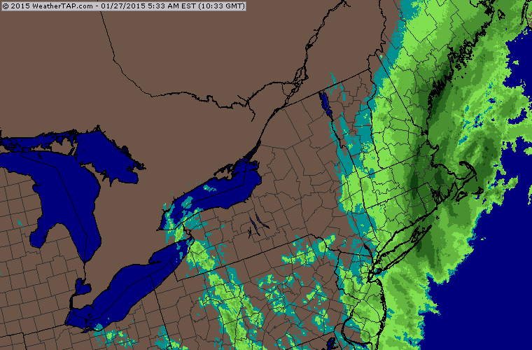
-

-
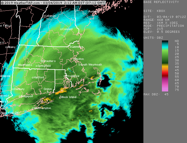
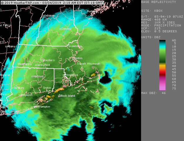
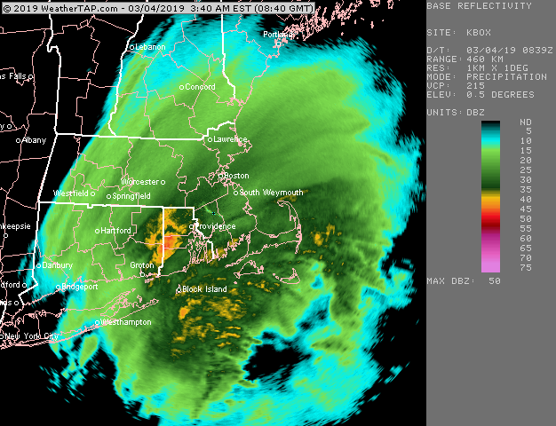
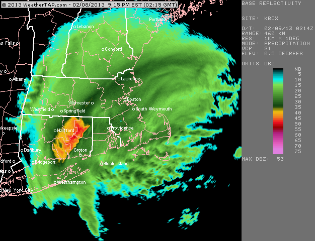
Yeah, that is a great map....literally like 800+ miles of easterly fetch. That was a really bullish signal not to go too light in eastern New England.....all of that is like a long train hitting a brick wall when it reaches land.
-
This one wasn't 2 foot snow total like some of the other ones, but man, that was the most brutal cold I've ever experienced in a moderate to heavy snow event. IT is a lot different getting these temps in saturated air with wind than calm nights or even dry CAA windy cold temps. This stuff literally sliced through you like a sharp razor.
-
Yeah the forecast from most TV outlets over ORH county was in the 5-8" range with some lower in the 2-4" range. NWS was a little more bullish with like 8-12" and I was hammering it even harder, but I still busted pretty heavily. I went 10-15" I think. I had no idea why everyone was so skittish on that one. I wonder if they were all worried about a bust like DC had in that one (they had a WSW for like 6-10" and got basically zilch in DC with a few sloppy inches in the suburbs....you had to go well west into the foothills to get big totals there. But the temp profile was totally different here...we had these -4C to -5C 950mb temps funneling down the Maine coast right into the CCB/Firehose.
-
One of my favorites....prob still the biggest bust here inside of 24-36 hours in the past decade.
-
I'll throw you a bone now
-
Kevin was already on edge after seeing pics of me in the jacket with the might-mac zipper in like 8" of paste from round 1....but then when I posted those round 2 pics, he absolutely lost it. An all-timer.
-
Must have been frigid when you took those....I remember that storm and temps just absolutely plummeted behind it....the 19th I think struggled to reach 0F there. We had like a high of 3 or 4F.
-
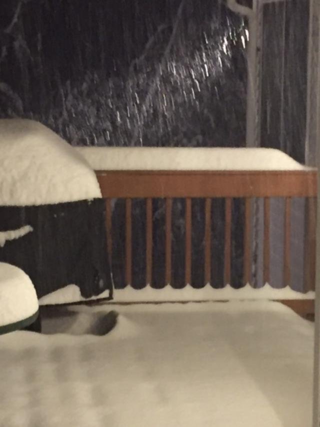
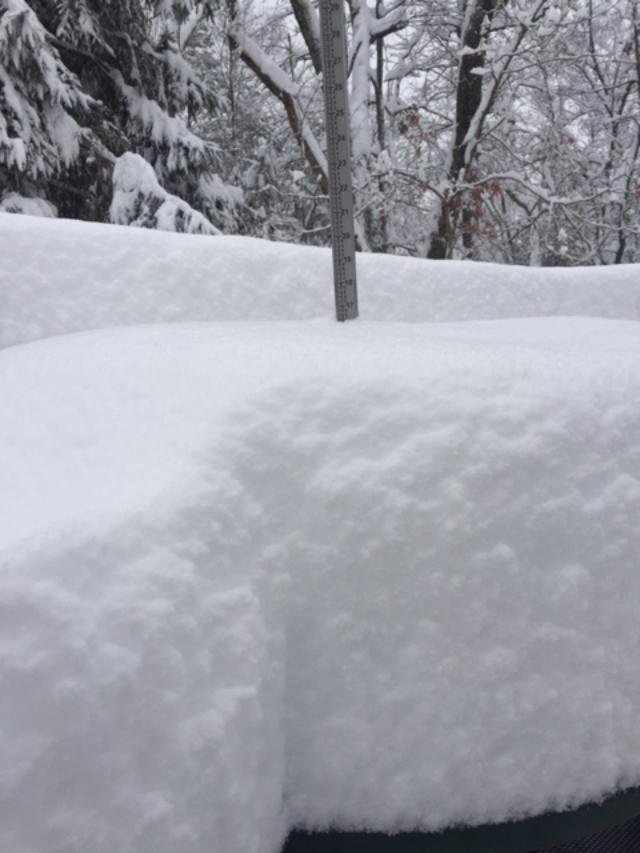
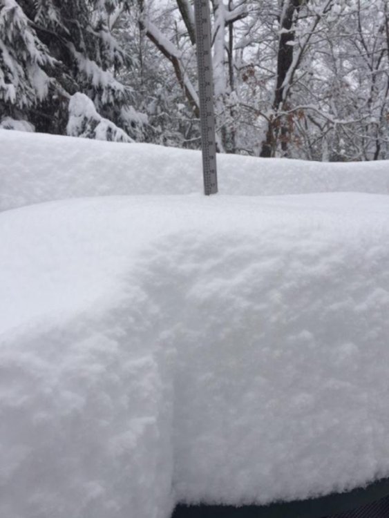
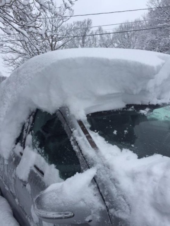
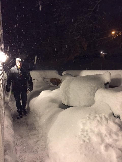
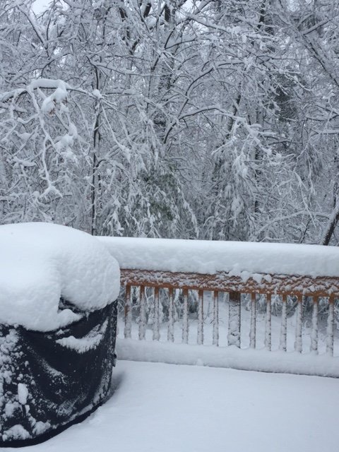
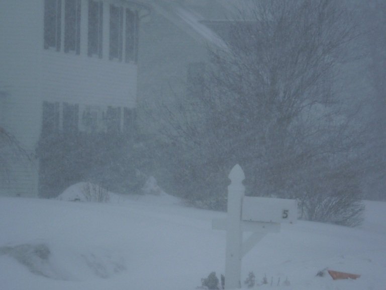
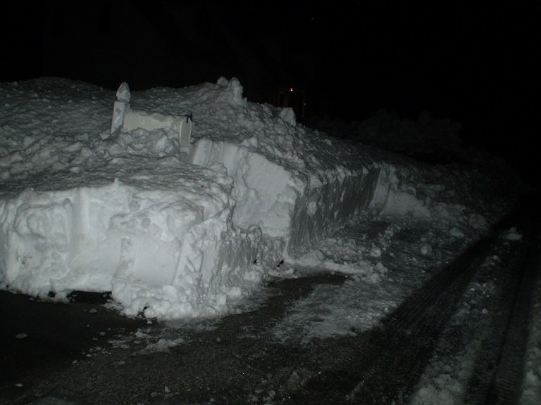
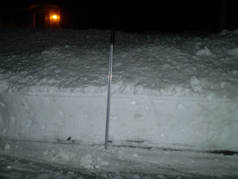
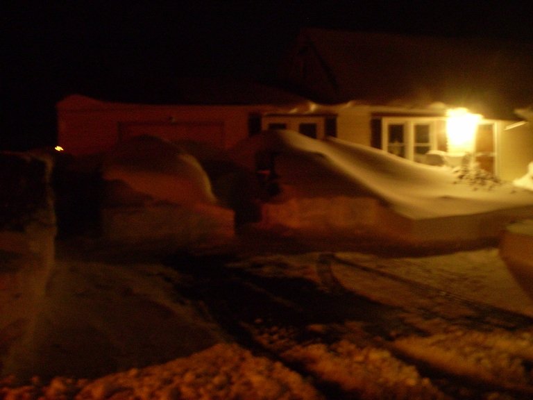
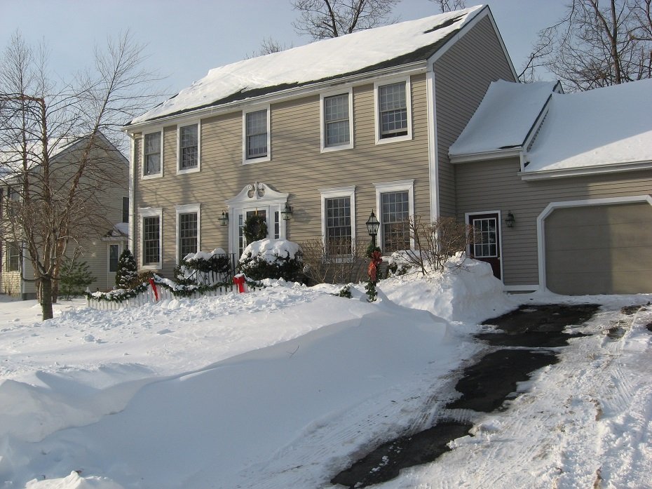
Ok, I'm in 2009-2010....pretty frustrating winter, but at least it gave us this.....LOL: MLK storm pics, and then the snow pack a couple days after. How ridiculous is that gradient just S of the pike? Those two pics I posted are what caused the epic Kevin nuclear meltdown.
-
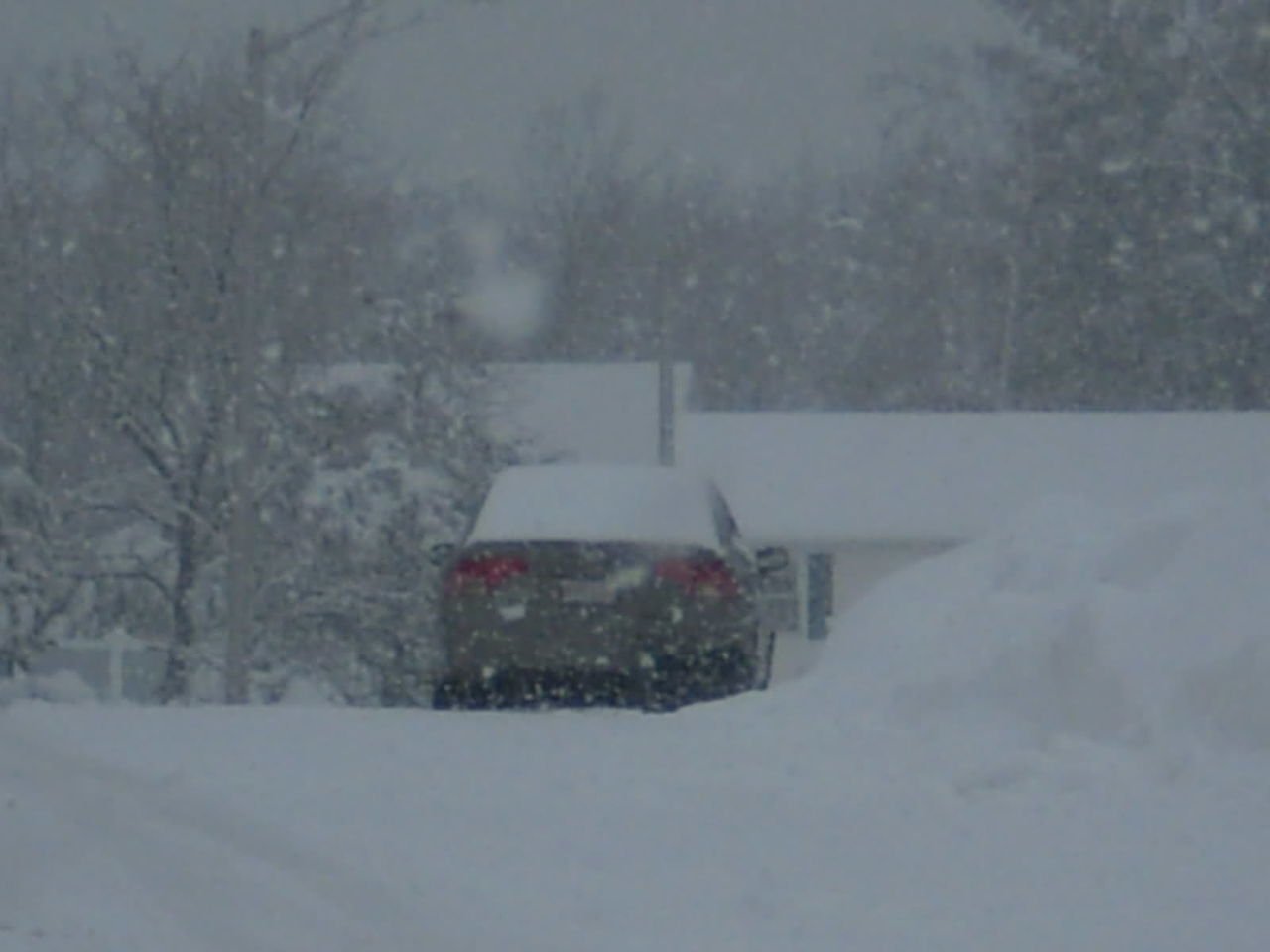
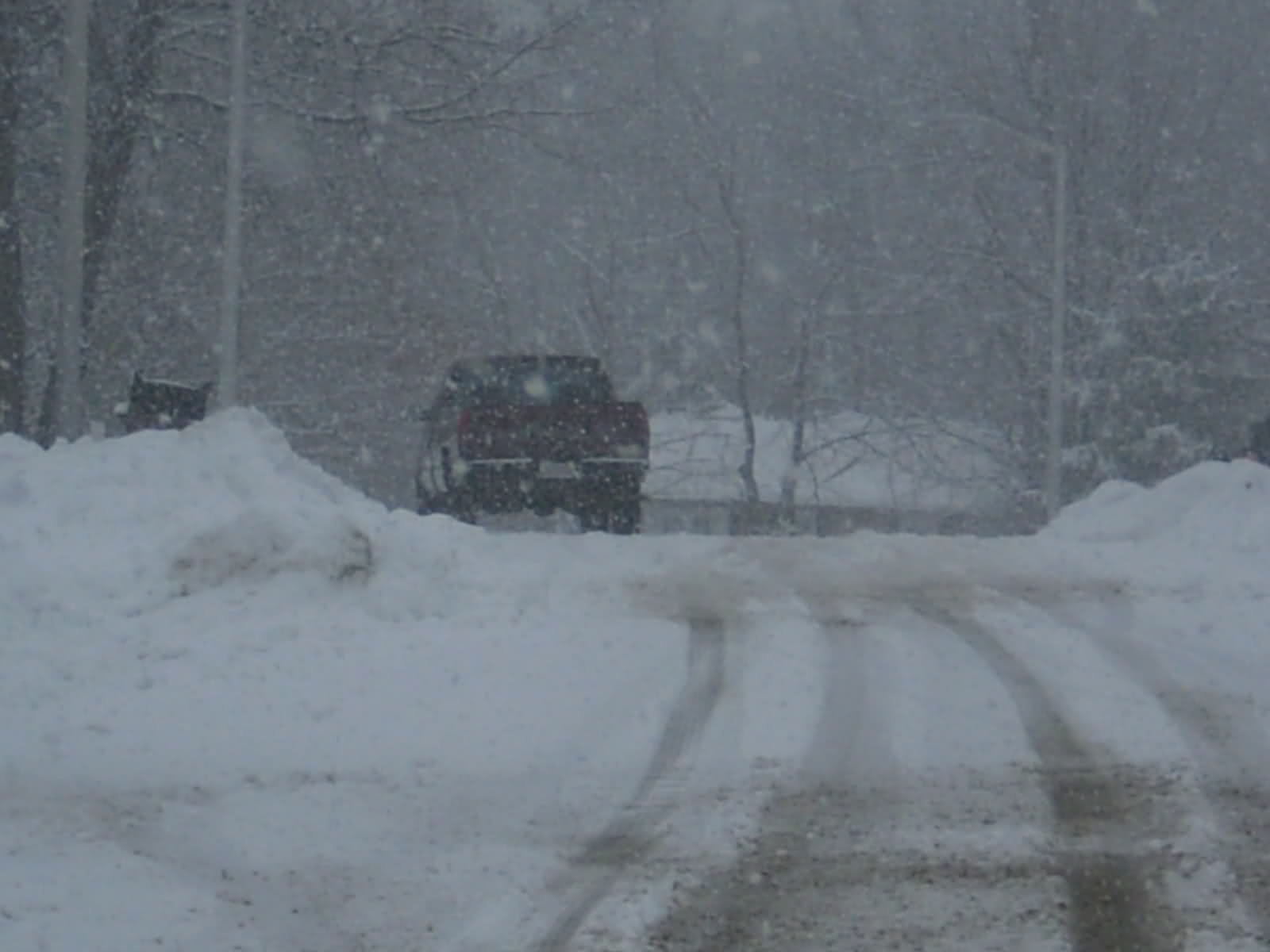
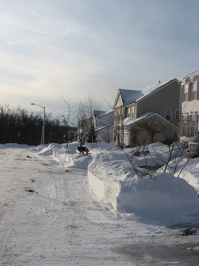
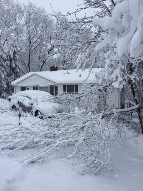
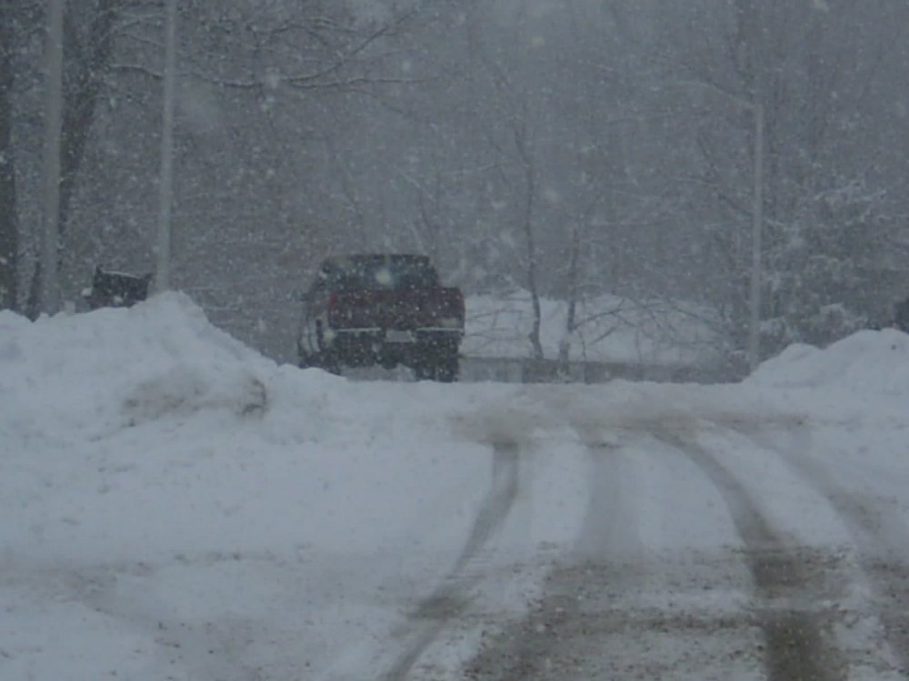
I have two photos from 12/23/08, a couple days after the back to back 12/19-21/08 events.....pretty solid pack....and a lot of mangled trees form the ice storm the week before.

-
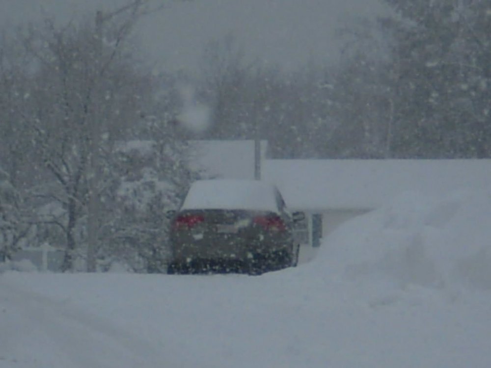
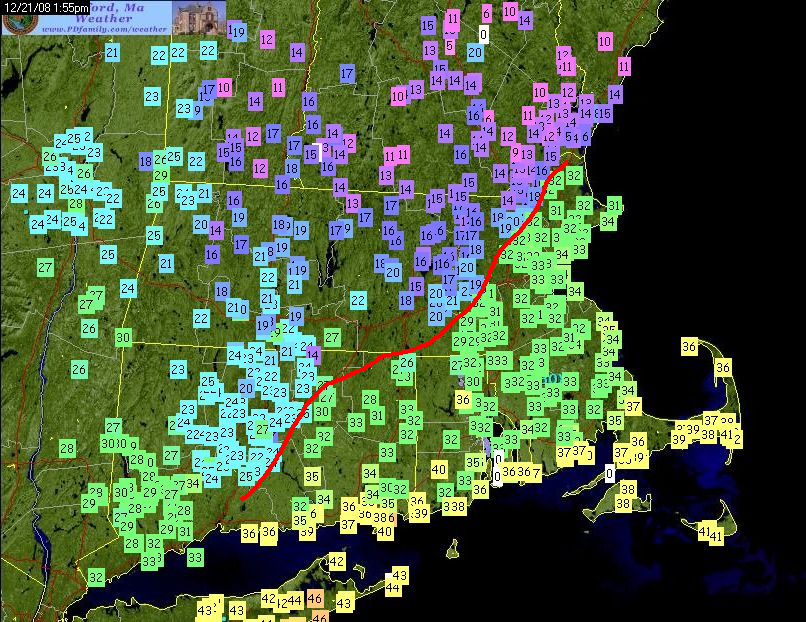
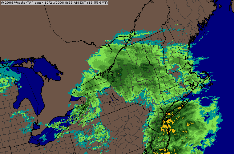
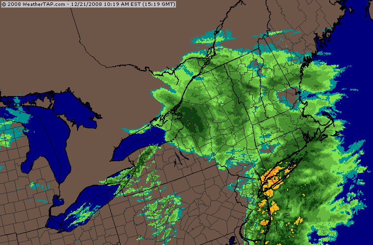
12/21/08....another epic coastal front.
-
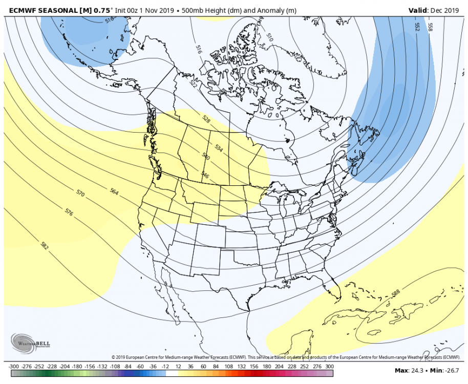
Yeah Dec doesn't really have a pig either...it's a -PNA/-NAO pattern which is actually pretty good for New England. Rest of the winter is canceled on that though, lol.