

ORH_wxman
-
Posts
90,892 -
Joined
-
Last visited
Content Type
Profiles
Blogs
Forums
American Weather
Media Demo
Store
Gallery
Everything posted by ORH_wxman
-
Man that Westwood zone just getting hammered…slowly sinking south into that Foxborough zone. They prob have 4”+ there too.
-
Should pick up another couple inches there anyway…some really good echoes still for the Cape over the next couple hours
-
When’s the last time BOS had “M02” with “SN” KBOS 202322Z 36018G28KT 1/2SM R04R/2800V5000FT FZRASN FZFG VV006 M02/M03 A2998 RMK AO2 PK WND 36029/2311 FZRAB20 P0005 T10221033 $
-
KHYA 202256Z 03006KT 1/2SM SN FG VV005 00/00 A2988 RMK AO2 SLP120 P0000 T00000000 RVRNO $
-
It will only turn over to rain if it lightens up a lot. But anything that’s worth following on radar there will stay as snow until the end.
-
Yeah I’m not even in the meat of this stuff and it’s actually snowing really good here with good snow growth. I wouldn’t call it moderate but solid 3/4-1 mile SN-….it must be pounding in that stuff just east of me. I also might be getting a little bit of drift under the beam with the LLJ out of the east.
-
Roads totally snow covered in Boston looking on TV. Impressive. They stayed on the cold side of the CF most of this event.
-
You have a period of good lift in the next 2-3 hours so it’s now or never there. Hopefully you can grab a few inches of paste.
-
There was one year they did it on Deer island on the water treatment plant. I think that was 2018-19. Winthrop last season was 2017-18? Scooter would remember.
-
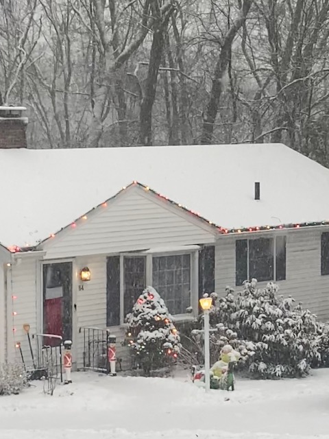
I turned the Xmas lights on for you @CoastalWx
-
Just over 2” now. Might be able to pick up 3.
- 620 replies
-
- 11
-

-
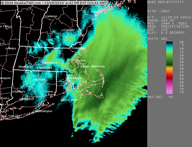
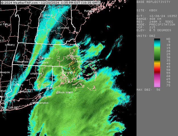
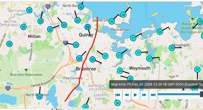
CF has backed west into Milton now...it was previously just below the Braintree split but now its just west of 93 between Milton center and east Milton.
-
Hopefully it sags south soon...it's barely NW of Taunton
-
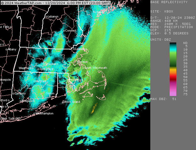
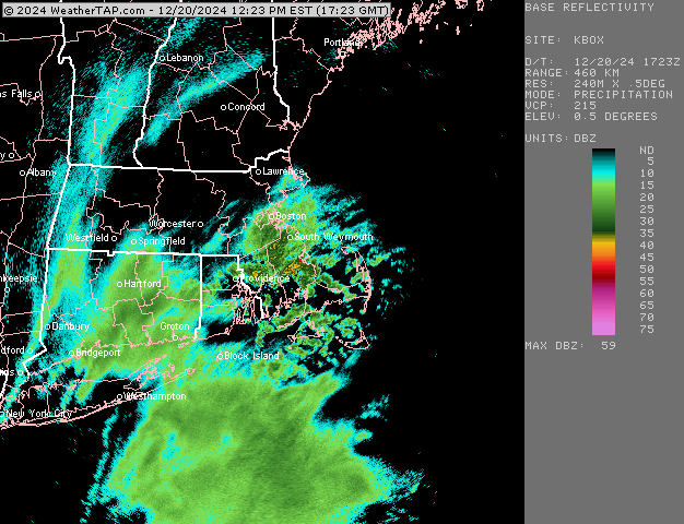
BOS with the moderate snow obs now and 30F KBOS 201854Z 36014KT 1/2SM R04R/3000V4500FT SN FZFG VV008 M01/M02 A3003 RMK AO2 PRESFR SLP170 P0007 T10111022
-
Yeah the LLJ is helping us from metrowest to 495 to keep blossoming that precip....ther'es about 30 knots of inflow from 950-850, but it's screwing you over at the moment. The snow does linger for a while right along the coast, so i think you'll prob get some goodies this evening after the CF finally sags SE. Hopefully its enough to grab 1-2" there
-
Getting some nice bands rolling through.....moderate snow and 27F....prob 1-1.5" OTG now. Hoping to get 2-3" which looks doable on radar
-
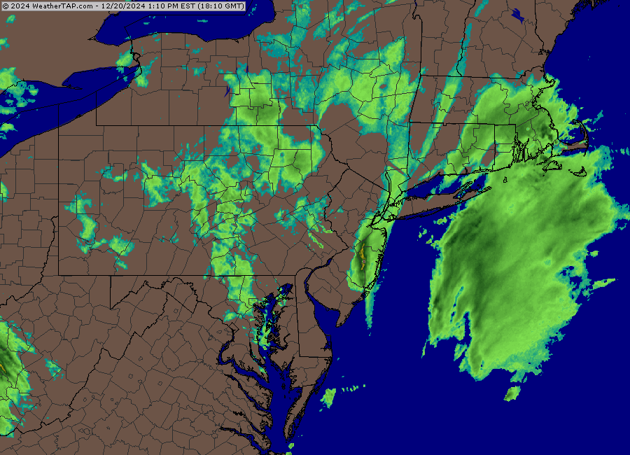
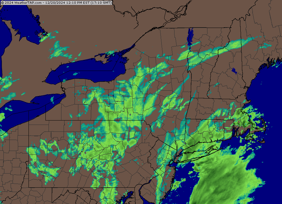
None of the short term guidance pushes it much further NW...i think the trajectory it's on is basically what we get....we'll see if it tries to blossom a bit further NW, but the short term guidance like RAP/HRRR aren't enthusiastic about it. They give several inches of snow to metro-west and SE MA, but no major totals.
-
Lets keep that stuff south of LI from sliding too far east...if that can stay over us, then I think some solid 3-4" totals are in store for BOS to metrowest down to interior SE MA...eps like Foxoborugh area but even further south once the CF drops down. But if it tries to slide east, then it's more like 1-3"
-
Yep
-
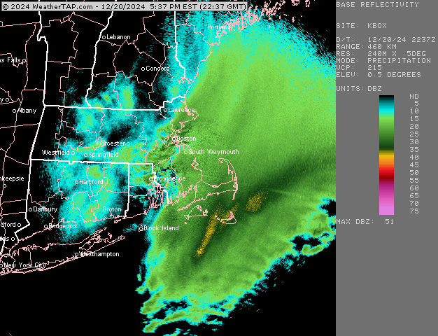
I think you'll start ripping in a couple of hours. Down to 28F here now...actual powdery snow, lol.
-
Coming down good now...snow growth picking up.
-
Yes...I think interior SE MA will be the jackpot in this unless the higher end part of the CCB with massive lift can clip the Cape....but it might just miss them.
-
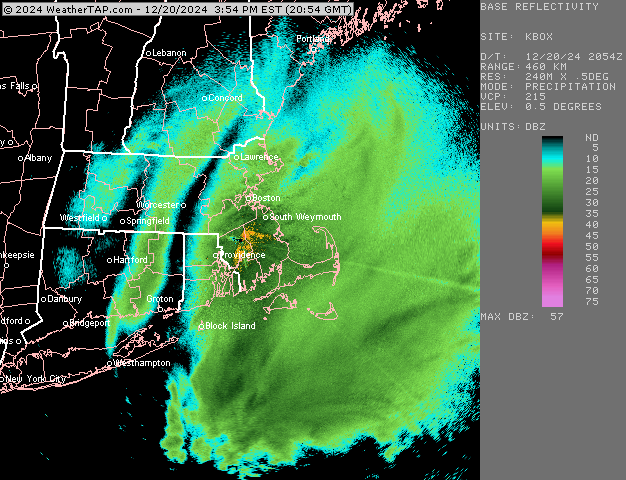
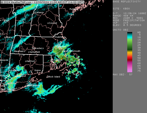
You will want to get into the band that is currently south of LI fork region for advisory amounts I think....looks like it might get eastern CT near Ginxy and certainly RI and a chunk of E MA. We'll see if it can blossom west a bit more, but that's gonna be the main show this afternoon
-
Steady light snow now as this band backs in....quick coating now
-
RAP small tick west again....still not NAM-esque, but it's pretty solid advisory east of 495.
