ORH_wxman
-
Posts
90,902 -
Joined
-
Last visited
Content Type
Profiles
Blogs
Forums
American Weather
Media Demo
Store
Gallery
Everything posted by ORH_wxman
-
Nowhere in SNE....it will just keep moving NW at this latitude...prob in E NY somewhere.
-
MQE is 31F....amazing what even just a few hundred feet does that close to the coast. That has to be a really steep LL lapse there since the sfc mesonets are like 34F.
-
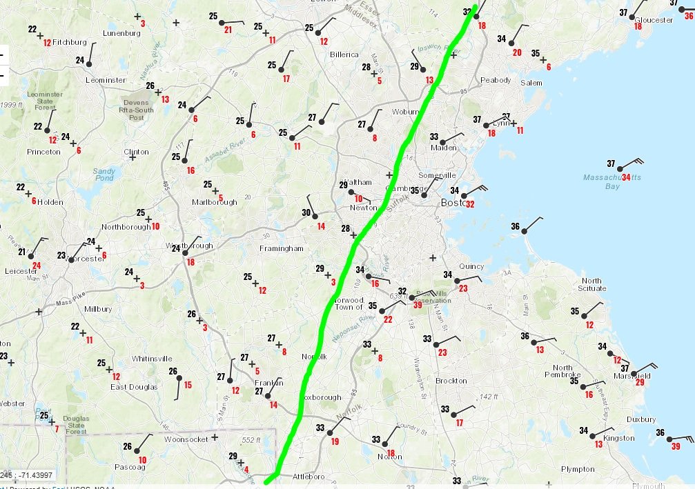
That mesoband is several hundred miles long
-
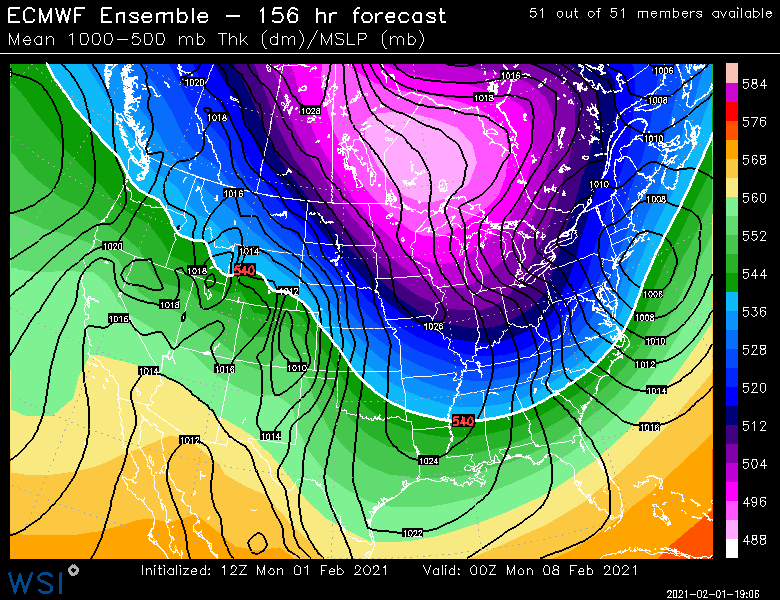
Yeah not bad for an ensemble mean at 156 hours
-
It's been trending colder, so even if we could grab a couple sloppy inches out of it. At the very least, it looks like we can put the cutter idea to rest.
-
Hopefully you manage 4-6 hours of absolute pounding birch bending paste. Bring a few trees down if you aren't going to get 15".
-
Not on the Euro...cold rain until maybe N Litchfield county to N ORH county.
-
Has a 2/13/14 vibe where you are....maybe a little better than that one, but similar type of gradient. I remember working in Copley for that one we had like 5" of slime during the day....went west back home and it went to about 12" once you got to Wellesley/128.
-
2/10 almost gets us too...scraper.
-
And just like that, we went from mostly baking powder to nice dendrites, coming down a lot harder now.
-
Yeah it will continue to inch NW throughout the afternoon/evening...it might go very slow or almost halt at times, but I don't expect it to collapse back SE until tomorrow.
-
You'll know in about 90 min to 2 hours.
-
24F and steady light snow. Picking up though in the last 15 min. Hopefully not long before moderate snow.
-
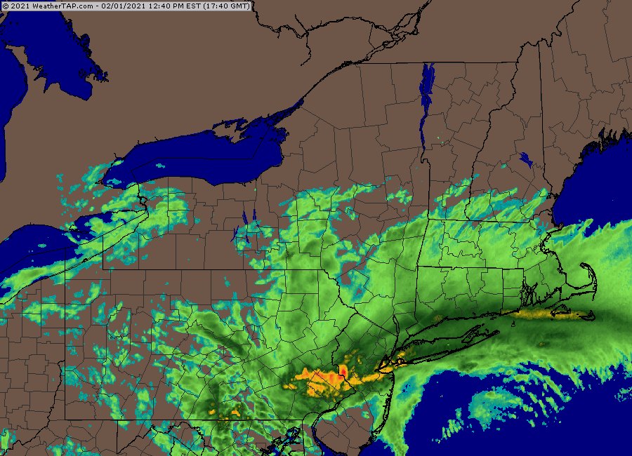
Streaky stuff incoming
-
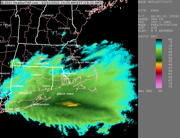
That's some sweet banding going over LI....that should be cranking up into SNE later on
-
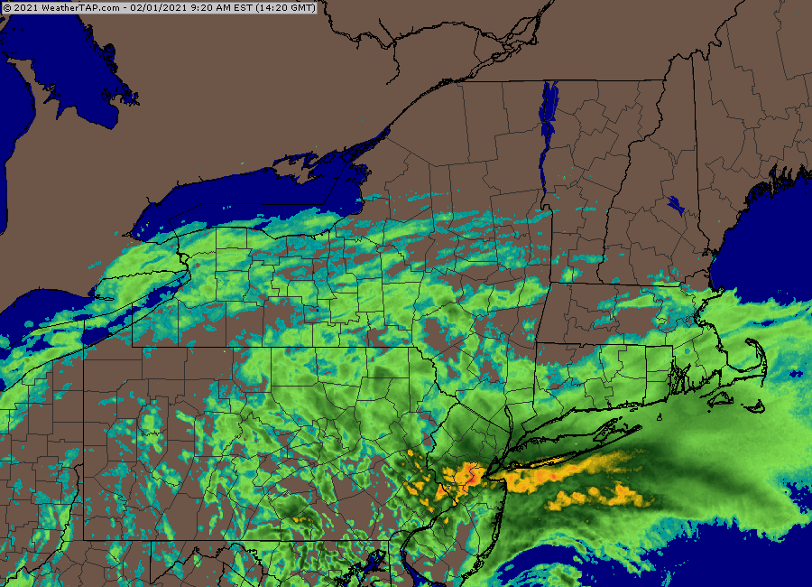
Yeah that sig south of the islands has be salivating
-
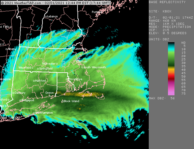
steady snow slowly making progress...near PVD-TAN line
-
Yeah there was a weenie band that got from W MA through ORH and even my area got a half inch, but it was more prolific out west where a lot of folks got 1-2" of fluff.
-
Yeah sell that....it does try and rejuvenate some steady light snow though tomorrow night overnight.
-
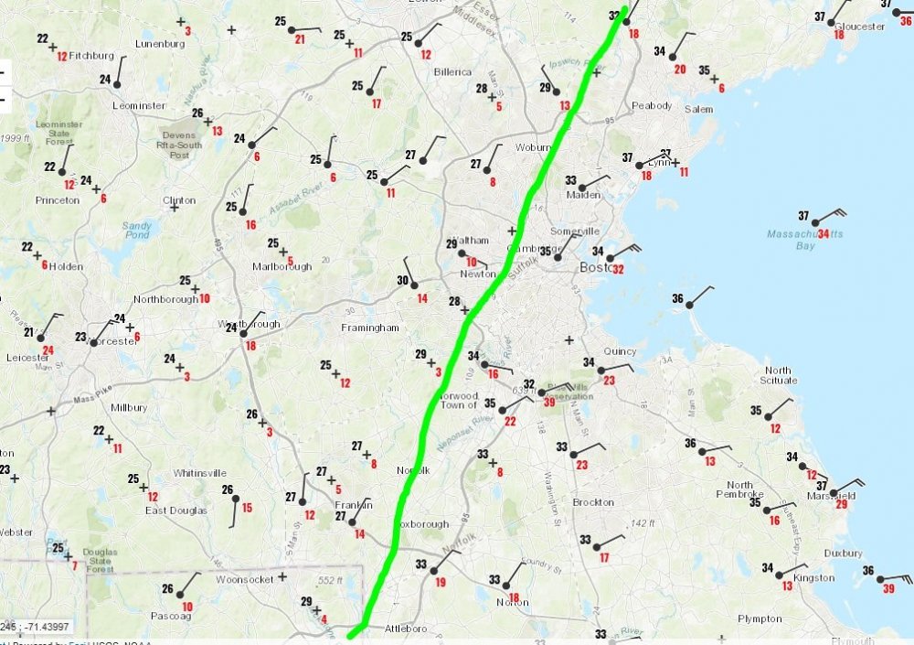
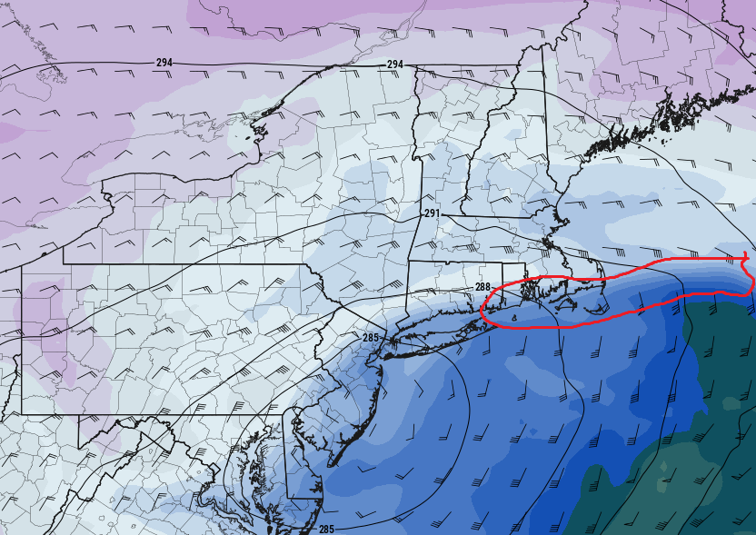
This is what you want to see to get hammered with high rates....I circled the 700mb warm front where the isotherms are tightly packed.....now look at the wind flags north of that....just straight from the east for like 200 miles.
-
Tickled the CF further east too....models are prob too far west with it so I'd expect to see them come a bit east with that feature as we near 0 lead time.
-
NAM ramped the QPF up again a bit after slacking some on the 06z run over in this area.
-
About a half inch of pure Arctic fluff.
-
Yeah not buying the bigger snows Tuesday night/Wednesday. I could see an inch or two maybe.
-
Accordions flying through the air left and right if that happened.