

ORH_wxman
-
Posts
90,902 -
Joined
-
Last visited
Content Type
Profiles
Blogs
Forums
American Weather
Media Demo
Store
Gallery
Everything posted by ORH_wxman
-
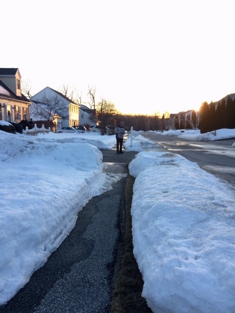
Same here....this morning it was just a pure glacier and I didn't sink in at all.
-
EPS shows some mild potential there....it would be a late bloomer probably but if you get something deepening quick enough on that trough diving in, then you could get a surprise there.
-
Getting pretty late down south....we're def not done with snow in interior New England (and prob not the coast either), but the climo temps are rapidly warming.
-
Still a pretty impressive pack on winter hill. I was running neck and neck with them for most of February but they’ve pulled ahead.
-
Yeah we're rarely done by 3/15. Really the last year we were was probably 2014 (the Cape wasn't, lol)....I guess 2017 for closer to the coast was done after the 3/14 storm, but 3/31-4/1 got the interior.
-
The ridge out west has been becoming more impressive, so if you can get that trough to dig for oil a little bit, you can pop something along the frontal boundary. That northern stream injection could produce a flashover event....obviously we need to see things continue to trend. 7 days out, etc etc....
-
Not for next weekend, but beyond that it looks pretty torchy on GEFS.
-
That's a tight squeeze on the 3/6 potential as modeled....could obviously change though. But right now nothing looks exciting.
-
3/8/05. We lost a massive tree during that on winter hill. Blown right over. It wasnt long after it changed to snow when that happened. My cruddy anemometer back then recorded like 63mph or something and it wasn’t even 10m. Prob more like 3m. I think the airport recorded something similar but I bet 10m up on our hill would have been 70+. We went from like 40 to 26 in a couple hours I think. True flash freeze event.
-
2/1 was brutal within 5-10 miles of the coast. Taken to the woodshed by Ray’s beast of a man. That event is what salvaged this winter from pretty subpar to respectable here and set the table for a durable snow pack. Basically gonna run the table for the month of Feb with a double digit snow pack here...maybe we barely slip under that this weekend. We’ll see. But it changes the feel of winter when you spend that long with deep pack. 16-17” of absolute paste from that 2/1 storm. Well actually, it was more like 6” of powder and then 10”+ of paste on top of it, lol. Just massive qpf dump.
-
The entire tenure of the season would have been different if we just eliminated the grinch storm or turned it into a 40F FROPA with a few showers. Most of the deep pack form pre-Xmas would have been around during the doldrums in January. So that stretch would have merely been a boring 4 week pause with a few “refresher” C-2” events rather than the torture of watching a few coatings melt back to brown grass.
-
Yeah we had a good stretch even in Feb/Mar...esp late Feb into mid-March. We had like 30” during that 3 week stretch.
-
It was a pretty weak signal on the ensembles, so not overly optimistic on that one even accounting for the lead time. But you always have to watch out in March for stuff that doesn't show up right away. Model accuracy starts to decrease as wavelengths shorten.
-
It does....there may be some chances after 3/2ish, but nothing popping out at the moment. Sometimes we see that in March though....it looks quiet, and then boom, it shows up inside of 4-5 days.
-
This explains the dichotomy between the YTD temperature departures and the narrative that it hasn't been that mild. No signature torches or cutters have happened. It's just been the lack of arctic cold shots to offset these stale airmasses.
-
One more off topic nitpick on Ray's post....Canseco was already on the '95 division winning team (and played great in the regular season). Who could forget the absolute wrath he and Mo Vaughn took for going 0-for-the-series against Cleveland in the playoffs.
-
Yes.
-
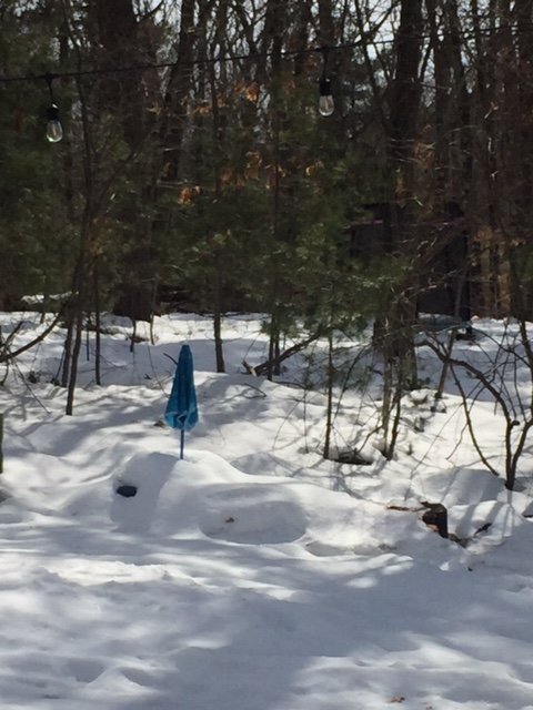
First time I’ve seen the kids picnic table peek out from under the umbrella in weeks. Even if just a little section
-
Up to 45F here. Lots of dripping.
-
There's actuality a pretty huge difference between the EPS and GEFS for around D10-13.....EPS has western ridging and some decent cold around while GEFS are trying to give us the first taste of true spring (maybe 60s or near 70 if things broke right). GEPS is sort of in-between though prob leans more toward EPS.
-
I doubt that....maybe Feb 2015 you did. You prob had like 18-20" for the month in Mar 2015
-
March '15 was good down where he is...they scored double digits on the 3/5 storm.
-
Def gotta watch for bowling balls in the split flow pattern, esp in March. It would be better if we had a big block ala 2018, but split flow by its nature can produce those pseudo blocks to the north at times around Hudson Bay or Quebec.
-
Yeah Mar 2015 sucked here....cold but not much snow. Give me 2018 or 2013....I'll take 2017 too or even 2019 which had a great start to the month.
-
Prob gonna have a chance or two in the first week of March if EPS is right.
