

ORH_wxman
-
Posts
90,902 -
Joined
-
Last visited
Content Type
Profiles
Blogs
Forums
American Weather
Media Demo
Store
Gallery
Everything posted by ORH_wxman
-
With a last gasp effort, winter 20-21 refuses to give up the ghost
ORH_wxman replied to moneypitmike's topic in New England
It's very intense too for like 3-4 hours there...so if we're flipping to snow by midnight over interior, then it's going to produce a quick 5-6", but if it kind of waits until 2-3am, then it might just be a couple inches. Taking advantage of a couple extra hours of that really intense fronto will be key. -
With a last gasp effort, winter 20-21 refuses to give up the ghost
ORH_wxman replied to moneypitmike's topic in New England
18z NAM gone wild -
With a last gasp effort, winter 20-21 refuses to give up the ghost
ORH_wxman replied to moneypitmike's topic in New England
The fronto gets pretty strong on this....the biggest risk here is that there is about a 3-5 hour period of legit heavy snow with temps plummeting below freezing from mid/upper 30s rain just prior. So there could be a very fast 4-6" with a flash freeze....that's prob worst case scenario in this. Maybe somewhere in elevated W MA or N MA maybe sees something a little more than that, but not really buying 8"+ at this point. But even high end advisory snow with flash freeze is plenty bad on Friday morning. -
Wow, GFS is pretty impressive for Friday morning too. Further SE than the NAM, but it hits most of MA hard....Scooter jack?
-
RGEM is an impressive flash freeze widespread advisory snowfall event. Temps in the 20s during Friday as the snow lingers. Seems to get a lot of the forum eventually.
-
NAM gone wild N of the pike for late Thursday night/early Friday morning.
-
Yeah if the wind is really strong, then it will just shatter the dendrites as they fall and/or pack them pretty efficiently once on the ground so the ratios struggle. I may have had worse than 10 to 1....can't quite remember what the QPF was in that 14 inches but i imagine it was around 1.5" or so...maybe it was a little more. 8 to 1 wouldn't have surprised me. That pack was very durable.
-
Definite flash freeze potential. It takes some unique conditions to get a true flash freeze but this would have those conditions present as modeled right now.
-
3/14/17 was a solid event. Didn’t get the jackpot obviously (reserved for NNE and upstate NY) but that was crazy intense snow for about 5 hours. We picked up 14” here and most it fell in 5-6 hours. The sleet line barely made it here during the dryslot but it changed back to ugly snowflakes pretty quickly. Good QPF dump in that as the ratios were prob near 10 to 1. We had full snowpack until the end of the month that year and partial snowpack into the first week of April.
-
Gonna have to watch this sucker. If that ULL maintains integrity longer, it’s going to cause some bigger issues on Friday. It doesn’t take all that long for the cold air to get drawn in with that high pressing down. Also could enhance the fronto.
-
Thankfully, I think we have Kevin's PWS online now, right? So we can track his backyard where real people live.
-
I see mostly 30s and 40s this week. Maybe a low elevation 50+ spot on Thursday if lucky and clouds don't roll in early as Scooter said.
-
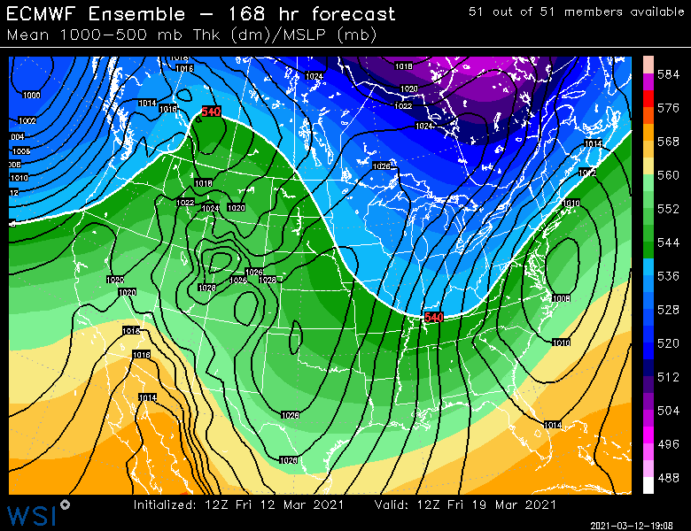
Euro suggests a pretty nice band near BOS back into N RI in the latter stages. Could be several inches if that panned out.
-
Yeah that changed quick
-
Black hills might be even better. Lead, SD FTW.
-
He cheers on torches that kill vulnerable people in the summer.
-
Yep. It’s also like in cutters he tries to turn them all into Grinch 2020 storms and melting snows to Quebec when 99% of them don’t do that. He knows he’s making it up but he just does it to get responses.
-
There were multiple big snow events after mid-month in 1977. Then of course there was the infamous May '77 storm too....but the 2nd half of March '77 was very snowy. Who lknows, maybe we'll follow a similar path.
-
Old record at ORH was 66F in 1977. Smoked that one pretty good. 3/11 was vulnerable for a lot of stations, so plenty of records today.
-
It's actually two storms on the GFS. Back to back.
-
3/16-17 making a comeback on guidance. Still gotta watch after that too near the equinox.
-
No, it will be more like Wilmington gets 10-14" of paste, ORH gets 17", and Methuen is outside the best rates and gets 4" of slime that slides off his windshield during the event.
-
Yeah prob about a week to perhaps 10 day window there.
-
Yeah some spots there have their snowiest months in March/April.
-
DSD today.


