

ORH_wxman
-
Posts
90,902 -
Joined
-
Last visited
Content Type
Profiles
Blogs
Forums
American Weather
Media Demo
Store
Gallery
Everything posted by ORH_wxman
-
Massive slingshot job on the Euro....if that happens a little earlier then it could be pretty decent snow. Even as is, it does get accumulating snow into a good chunk of New England...even if most of it is sub-advisory stuff outside the mountains.
-
Didn't you get a 20-burger in the Lindsay Storm too earlier that month?
-
Lol.
-
That is an absolute beast -NAO block on the GFS at 12z. We've seen some runs do this from time to time and if a block like that forms, then it changes the tenure of the pattern from "pretty good" to "extremely favorable" for winter threats to end November and start December.
-
You'd prob need some elevation in this one since the airmass is dogcrap. If it "pans out", it's the type of thing where it maybe snows light to moderate at 33-34F for maybe 3-4 hours or so...so you get a slushy inch at elevation and prob white rain elsewhere.
-
Very possible most of us don't see any accumulating snow until December....that isn't super uncommon. It's not the norm for the interior from your area down to ORH/interior SNE elevations, but it does happen now and again. That said, the pattern does look pretty decent for the end of the month, so Nov 25-30 is definitely in play. BTW, don't totally sell the anafront deal on late Thursday night/predawn Friday. I wouldn't expect a real storm, but certainly a C-2" is possible...esp for interior elevations.....if were talking about first measurable snow for some.
-
08-09 was severely -PDO. 05-06 was not. But this year is on another level. I think Nick posted last week that this might be the most negative since the 1955-56 Niña.
-
Yeah and so did December 2005 and Jan 2009 for a couple others off top of my head. I think even Dec 2017 may have been positive but not a raging +PNA like ensembles show. Getting a raging +PNA in a Niña is very good though...even if just for a few weeks. Lots of northern stream goodies for us.
-
Yes. Doesn’t mean there can’t be a torch day in there if we get a storm cutting to the west but the overall pattern that week is definitely below normal temps on the mean. Esp after about Monday/Tuesday.
-
That’s a weenie pattern to end the month and begin December. Big -NAO and +PNA. Not sure how long that PNA will hold given our current enso/PDO state but that is what you want to see...esp early in season when you have less wiggle room.
-
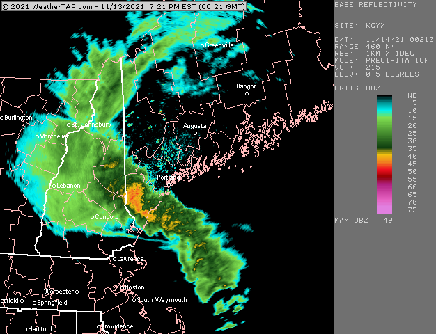
Nice little inflow going on looking at radar. Some of the peaks could get a quick lashing
-
Should flip any minute now based on sfc and 925 analysis. Wonder if you get a burst of moderate for an hour or two.
-
What’s the wind direction there? Seems like once it goes more E you should do well but S to SE is a shadow.
-
Wonder if this can help produce some convection closer to dateline later in winter. I wouldn’t mind something interfering with your typical Niña February baseline.
-
Is that just south of ginxy?
-
That’s awesome from Mitch. Hard enough to see TSSN but another level of difficulty happening to get it on camera.
-
Yeah we get this nice EPO cold dump and then as the EPO block retrogrades away we get a PNA spike despite the lowering heights in AK...kind of a “flattish” PNA ridge but it’s not zonal...it’s just not his monster ridging shooting up into Yellowknife...there’s all kinds of cold to tap into because of that initial EPO loading....and we all know some western ridging with cold available can make interesting things happen for the winter enthusiast. We’ll see. But it’s the type of general pattern hat has preceded many of our White Thanksgivings.
-
Still some differences with GEFS. The EPS are much colder that week than GEFS.
-
T-day week looks cold on EPS. Might get a snow threat out of that look.
-
There were other mets that were sounding the alarms, but Harvey was the TV met who hit it hardest on the major Boston networks. As we know, TV was the main source of wx back then. Radio to a lesser extent, and there might have been some guys on the radio who were hitting it hard too, but I am not aware of the history of the radio forecasts. I remember watching a montage of Boston network forecasts back in the late 1990s or early 2000s for the day prior to the 1978 storm and the other networks did a lot more hedging. That likely contributed to much of the public not taking the storm quite as seriously. The Cleveland superbomb bust also probably contributed too....so the public was like "eh, they screwed up the forecast 10 days ago, this one prob won't end up that bad"
-
There’s basically no confluence at all ahead of that system. It would help if we had a bit more baroclinicity. That said, some of these runs have a pretty vigorous s/w so we may see future runs show a bit more of a system.
-
There’s actually an old write-up somewhere I have to find about the LFM in that storm. It performed very well but most Mets didn’t really buy it. The GSM was more southeast and the LFM had really screwed the pooch in the Cleveland superbomb 10 days earlier. The 2/5/78 run was also a huge shift from the previous day. Most of the TV Mets (aside from harvey who was more bullish) were forecasting accumulating snow but not the extreme rates and fast start that occurred. The “wall” of heavy snow that came in around mid-morning Monday was the killer. Most forecasts were for a gradual increase in snow.
-
Another heavy frost this morning. There’s been a lot of them recently.
-
Yeah except Harvey was sounding the alarms a bit. That’s the storm he kind of made his name known. I think it was his first winter too on the air in Boston. Nobody thought it would be a 2-4 foot monster, but Harvey was skeptical of the graze job. He said something like “this could be a major storm”. Ironically, the models had the Cleveland superbomb 10 days earlier as a big nor’ Easter snowstorm but really screwed the pooch.
-
Pound town for the picnic tables. Prob down to valley floor eventually with that type of shortwave.


