ORH_wxman
-
Posts
90,902 -
Joined
-
Last visited
Content Type
Profiles
Blogs
Forums
American Weather
Media Demo
Store
Gallery
Everything posted by ORH_wxman
-
The pattern is definitely trying to become favorable for a threat somewhere in that Nov 28-30 time frame. Nice little PV-lobe is trying to get forced underneath the -NAO after T-day which sets the stage for a shortwave to run into that cold air supply...aided by a little PNA ridge popping out west at the same time. Tip has been mentioning this symbiotic relationship between the NAO tanking and the PNA rising....and maybe this is finally the models "seeing" the correction event. We're still a long ways out, but it is a period to keep an eye on.
-
2pm Saturday, 11/20 @ Funky Murphy's ORH
ORH_wxman replied to 40/70 Benchmark's topic in New England
It' about 50/50 here I'd say. Back around late Aug and Sept, it had crept up to like 70-75% masked, but has since fallen back down to about half. Still not down to the low of maybe 20% we saw back in June (mostly pre-Delta). -
2pm Saturday, 11/20 @ Funky Murphy's ORH
ORH_wxman replied to 40/70 Benchmark's topic in New England
Once you are inside with food or a drink, they won't care. Everyone takes them off. Something like 94% of MA adults are vaxxed anyway...it's mostly a performative mandate. -
Little piggy never really gets established....transient....which is a good thing.
-
2019 went snowless in both Oct/Nov here. I’m using “snowless” as a synonym for no measurable since Kevin said flakes don’t count. We had it happen in 2017 too.
-
Pretty nice gradient pattern developing 2nd week of Dec

-
December looks pretty nice here on the weeklies....lets hope they have a clue. Lots of cold up north and we're mostly in on it in New England.
-
Yeah that looks tough....hopefully they get blitzed after like 12/5 as more western troughing takes hold. Sometimes it only takes one monster system out there to fix a couple bad weeks.
-
Weeklies also think the AK vortex is transient....quick Aleutian ridge spikes and we are into a classic Nina gradient pattern by 2nd week of December according to them.
-
Yeah I always get a little nervous seeing it show up, but what I get most nervous about is seeing no signs of it really going away....and we're not at the latter stage yet. The ensembles do appear to try and start rebuilding the Aleutian ridge late in the game. In addition, the vortex first shows up at a time when we have strong -NAO blocking so we actually don't get brutally torched. This occasionally has happened in the past like late Dec 2008/early Jan 2009....had a temporary little one-eyed pig but we happened to build a huge NAO block during the 8-12 days it hung around so we got 2 winter wx events anyway (12/31/08 and 1/7-8/09). The vortex then eroded, replaced by a ridge, and we froze our balls off the rest of that month.
-
A lot of times we just end up getting prolonged CAD on cutters....then a brief warm sector. Probably not happening next week, but then again it's only November. Much rarer for it to happen deeper into winter.
-
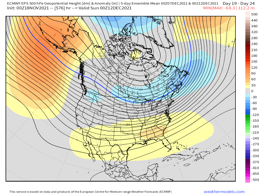
The pattern is still kind of ugly for the very end of the month and first few days of December....it's not a total torch, but we're losing a lot of the cold in Canada on that look....but if we keep just enough PNA ridging and some remnant NAO blocking/weakness, it can work. The good news though is it looked like at the VERY end of the ensemble runs last night, the Aleution/Bering ridge was trying to rebuild which would be ideal as we go further into early December. But I don't think people should be surprised if we struggle a bit the first week of the month should the temporary AK/Bering vortex set itself up in late November.
-
Tamarack throwing his laptop against his healthiest spruce tree while Tblizz bitches his way to 6"+ of mashed potatoes.
-
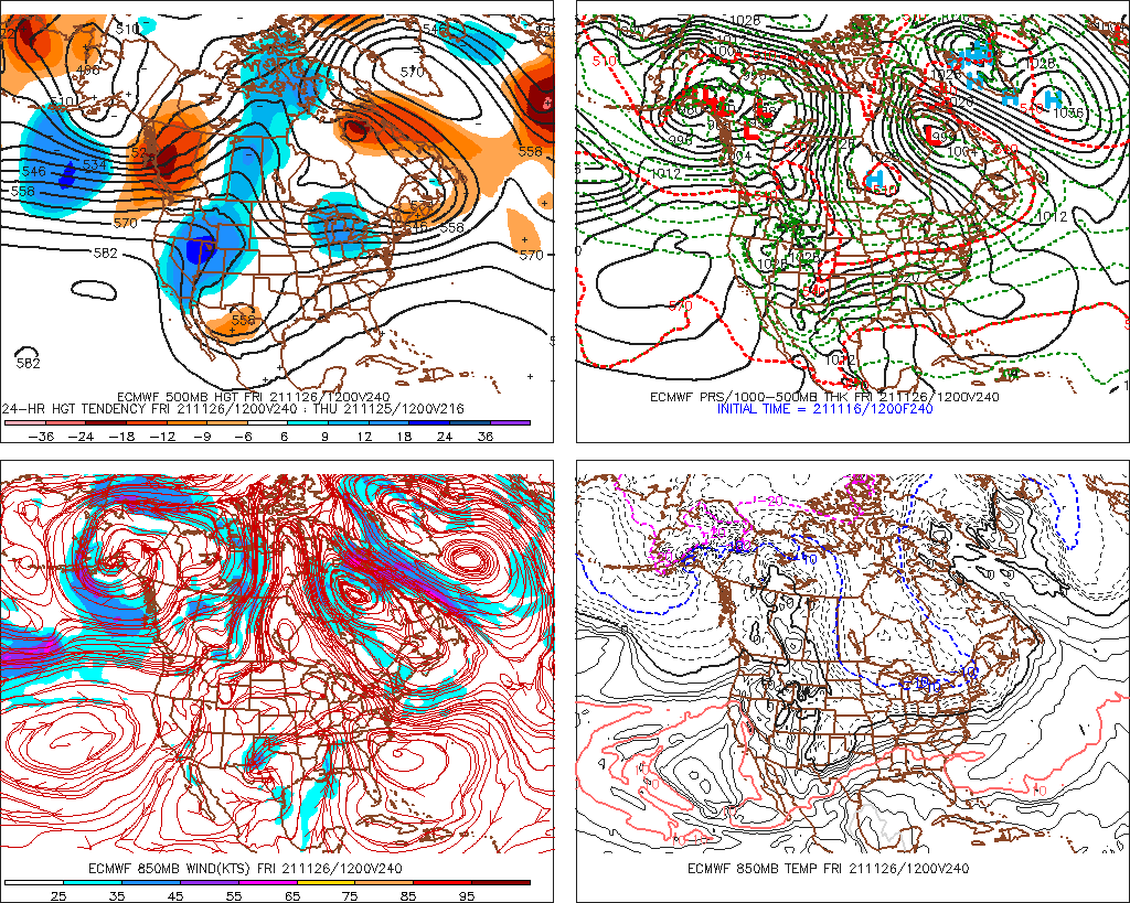
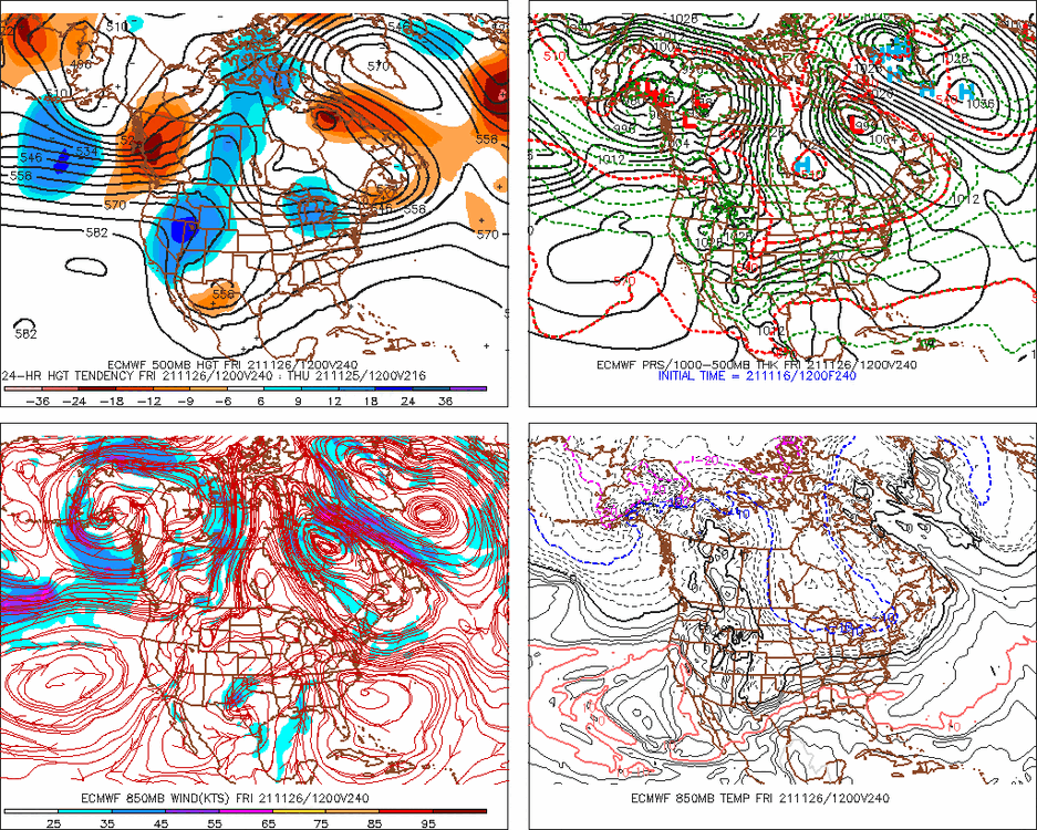
Gonna have to watch for shenanigans with that block next week....even 00z Euro retro'd the storm enough to get accumulating snow into SNE, albeit not as much snow as the GFS had. It's not a likely outcome, but with a block like that you have to keep an eye open.
-
Deepest pack to your north in ORH was probably March 2001 but you were likely too far south for that month to eclipse the Jan '96 pack....though you must have come close in early Feb 2011. If you go back far enough, the pack was probably rivaled in Feb 1961. January 1987 got really deep too in N ORH county....prob 40-something inches. I think I measured 43-44" in February 2015, but that was a couple inches shy of March 2001. January 1996 was similar to 2015.
-
It's only 11/17....this is more for the pattern at the end of November....we could easily reload a good December pattern a week to 10 days into the month. The T-day weekend pattern doesn't look as cold though for sure right now.
-
Pulling the plug on what?
-
Ensembles trended worse too....the block in the Atlantic keeps us from torching, but we don't need this to keep trending worse as we head into December. The EPS do try to pop a bit of PNA ridging again at very end of Nov and near 12/1, but the lower heights up in AK persist.
-
That's an ugly end to the OP Euro run with a nice one-eyed pig setting up over the Bering Region...hopefully that changes again.
-
I'd have to imagine that is just bad data on there? They'll prob correct it. The Mansfield stake is in a sheltered area there amongst the evergreens, right? You'd have to think there is at least half a foot OTG there.
-
Yeah im skeptical of next week's storm mid-week, though I guess if it gets captured perfectly we could have a surprise. It feels like that 11/27-11/30 window might be a little more favorable for this month but things can shift. I'm hopeful the -NAO can go into the first half of December as well because the Pacific doesn't look great to start December, however, because there was already some good cold into Canada, a decent -NAO would suffice for threats. The PAC look has been really volatile the past few days though, so that's something that will probably change on future runs.
-
Yes it could end up a transient ridge instead of a full block. But there is pretty heavy ensemble support for the block to develop so I don't think it's just something random on an OP run. All models are seeing something. Whether that trends better or worse as we get closer is obviously still up in the air. It's a very good spot to have a block though....esp this early in the season when the polar jet is still north of mid-winter climo....you want something to force shortwaves underneath our latitude and a well-placed block is probably the most efficient way to do that.
-
Gonna need the good Atlantic look to stay on track....PAC side has trended worse for sure. But that NAO block can make up for a lot of sins if we can get it.
-
Another OP run showing a monster block.....yeah, it's in clown range, but the cross-model appeal and ensemble support is pretty good.
-
Yeah that was Nov 14-15, 1995 I think...we actually started as snow in that in ORH...but only for a brief time. Had a quick half inch or so and then a lull....then when the main precip shield came in during the afternoon it was 40F rain.